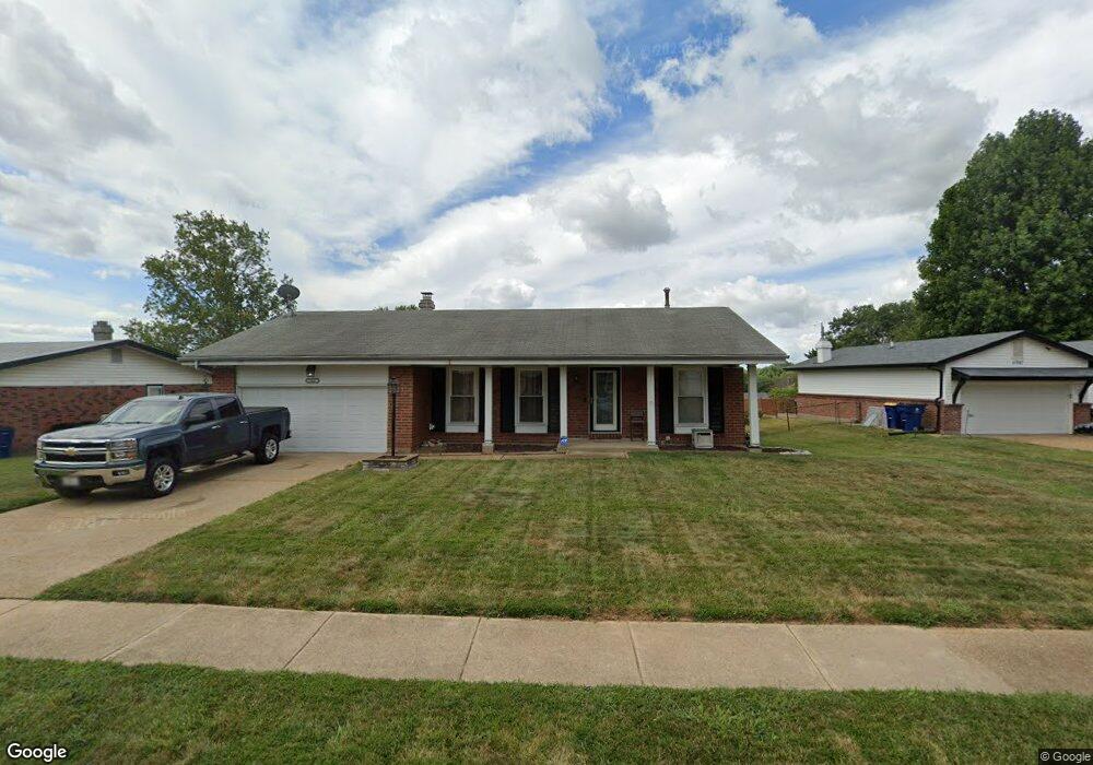
11687 MacRinus Dr Florissant, MO 63033
Estimated Value: $203,692 - $232,000
3
Beds
2
Baths
1,318
Sq Ft
$169/Sq Ft
Est. Value
About This Home
This home is located at 11687 MacRinus Dr, Florissant, MO 63033 and is currently estimated at $222,923, approximately $169 per square foot. 11687 MacRinus Dr is a home located in St. Louis County with nearby schools including Jury Elementary School, Central Middle School, and Hazelwood Central High School.
Ownership History
Date
Name
Owned For
Owner Type
Purchase Details
Closed on
Oct 13, 2000
Sold by
Serra Joseph S and Serra John C
Bought by
Jones Ellis P and Jones Kim L Dudley
Current Estimated Value
Home Financials for this Owner
Home Financials are based on the most recent Mortgage that was taken out on this home.
Original Mortgage
$90,678
Outstanding Balance
$32,998
Interest Rate
7.89%
Mortgage Type
VA
Estimated Equity
$189,925
Purchase Details
Closed on
Nov 15, 1997
Sold by
Serra Louis R
Bought by
Serra Joseph S and Serra Mary L
Create a Home Valuation Report for This Property
The Home Valuation Report is an in-depth analysis detailing your home's value as well as a comparison with similar homes in the area
Home Values in the Area
Average Home Value in this Area
Purchase History
| Date | Buyer | Sale Price | Title Company |
|---|---|---|---|
| Jones Ellis P | $88,900 | -- | |
| Serra Joseph S | -- | -- |
Source: Public Records
Mortgage History
| Date | Status | Borrower | Loan Amount |
|---|---|---|---|
| Open | Jones Ellis P | $90,678 |
Source: Public Records
Tax History Compared to Growth
Tax History
| Year | Tax Paid | Tax Assessment Tax Assessment Total Assessment is a certain percentage of the fair market value that is determined by local assessors to be the total taxable value of land and additions on the property. | Land | Improvement |
|---|---|---|---|---|
| 2025 | $2,755 | $35,610 | $5,400 | $30,210 |
| 2024 | $2,755 | $30,250 | $3,610 | $26,640 |
| 2023 | $2,746 | $30,250 | $3,610 | $26,640 |
| 2022 | $2,481 | $24,280 | $6,310 | $17,970 |
| 2021 | $2,349 | $24,280 | $6,310 | $17,970 |
| 2020 | $2,283 | $21,980 | $4,140 | $17,840 |
| 2019 | $2,246 | $21,980 | $4,140 | $17,840 |
| 2018 | $2,299 | $20,810 | $2,870 | $17,940 |
| 2017 | $2,296 | $20,810 | $2,870 | $17,940 |
| 2016 | $2,203 | $19,630 | $3,230 | $16,400 |
| 2015 | $2,153 | $19,630 | $3,230 | $16,400 |
| 2014 | $2,124 | $19,280 | $3,170 | $16,110 |
Source: Public Records
Map
Nearby Homes
- 12062 Cato Dr
- 11767 MacRinus Dr
- 4493 Caracalla Dr
- 11636 MacRinus Dr
- 4348 Vandals Dr
- 4354 Metarus Dr
- 11869 Galba Dr
- 4471 Rhine Dr
- 4461 Rhine Dr
- 4497 Rhine Dr
- 4384 Remus Dr
- 4401 Rhine Dr
- 11565 Mehl Ave
- 4950 Patricia Ridge Dr
- 4244 Miletus Dr
- 11790 New Halls Ferry Rd
- 11540 Lares Dr
- 30 Rolling Hills Dr
- 12415 Danube Dr
- 4040 Helmkampf Dr
- 11677 MacRinus Dr
- 11707 MacRinus Dr
- 12052 Cato Dr
- 11647 MacRinus Dr
- 11717 MacRinus Dr
- 12042 Cato Dr
- 11706 MacRinus Dr
- 11716 MacRinus Dr
- 11686 MacRinus Dr
- 11676 MacRinus Dr
- 11727 MacRinus Dr
- 11726 MacRinus Dr
- 11637 MacRinus Dr
- 12072 Cato Dr
- 11656 MacRinus Dr
- 12032 Cato Dr
- 11746 MacRinus Dr
- 4487 Caracalla Dr
- 11747 MacRinus Dr
- 11646 MacRinus Dr