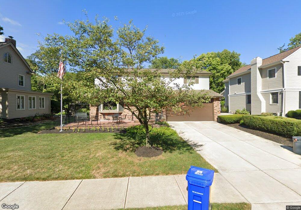
1169 Lincoln Rd Columbus, OH 43212
Estimated Value: $964,000 - $1,113,000
4
Beds
4
Baths
2,612
Sq Ft
$391/Sq Ft
Est. Value
About This Home
This home is located at 1169 Lincoln Rd, Columbus, OH 43212 and is currently estimated at $1,022,432, approximately $391 per square foot. 1169 Lincoln Rd is a home located in Franklin County with nearby schools including Robert Louis Stevenson Elementary School, Larson Middle School, and Grandview Heights High School.
Ownership History
Date
Name
Owned For
Owner Type
Purchase Details
Closed on
Mar 10, 2025
Sold by
Conner Ella Louise
Bought by
Ella Louise Conner Trust and Conner
Current Estimated Value
Purchase Details
Closed on
Nov 17, 1987
Bought by
Conner Ella L
Create a Home Valuation Report for This Property
The Home Valuation Report is an in-depth analysis detailing your home's value as well as a comparison with similar homes in the area
Home Values in the Area
Average Home Value in this Area
Purchase History
| Date | Buyer | Sale Price | Title Company |
|---|---|---|---|
| Ella Louise Conner Trust | -- | None Listed On Document | |
| Conner Ella L | -- | -- |
Source: Public Records
Tax History Compared to Growth
Tax History
| Year | Tax Paid | Tax Assessment Tax Assessment Total Assessment is a certain percentage of the fair market value that is determined by local assessors to be the total taxable value of land and additions on the property. | Land | Improvement |
|---|---|---|---|---|
| 2024 | $12,728 | $228,030 | $101,150 | $126,880 |
| 2023 | $11,182 | $228,030 | $101,150 | $126,880 |
| 2022 | $13,337 | $231,040 | $71,750 | $159,290 |
| 2021 | $12,487 | $231,040 | $71,750 | $159,290 |
| 2020 | $12,435 | $231,040 | $71,750 | $159,290 |
| 2019 | $12,409 | $205,070 | $71,750 | $133,320 |
| 2018 | $11,533 | $205,070 | $71,750 | $133,320 |
| 2017 | $11,570 | $205,070 | $71,750 | $133,320 |
| 2016 | $10,710 | $164,330 | $59,710 | $104,620 |
| 2015 | $10,711 | $164,330 | $59,710 | $104,620 |
| 2014 | $10,743 | $164,330 | $59,710 | $104,620 |
| 2013 | $4,693 | $149,380 | $54,285 | $95,095 |
Source: Public Records
Map
Nearby Homes
- 1313 Lincoln Rd
- 1000 Urlin Ave Unit 1822
- 1000 Urlin Ave Unit 2007
- 1000 Urlin Ave Unit 520
- 1000 Urlin Ave Unit 605
- 1000 Urlin Ave Unit 511
- 1000 Urlin Ave Unit 1007
- 1000 Urlin Ave Unit 518
- 1000 Urlin Ave Unit 1607
- 1263 Oakland Ave
- 1459 Elmwood Ave Unit 1459
- 1301 Lake Shore Dr Unit 199
- 1324 Lake Shore Dr Unit B
- 1561 Glenn Ave
- 1214 Lake Shore Dr Unit C
- 2015 W 5th Ave Unit 211
- 2015 W 5th Ave Unit 102
- 2015 W 5th Ave Unit 108
- 1631 Roxbury Rd Unit F3
- 1631 Roxbury Rd Unit B6
- 1177 Lincoln Rd
- 1161 Lincoln Rd
- 1185 Lincoln Rd
- 1200 Cambridge Blvd
- 0 Bluff Ave
- 1170 Lincoln Rd
- 1178 Lincoln Rd
- 1164 Lincoln Rd
- 1127 Ormsby Place
- 1199 Lincoln Rd
- 1190 Lincoln Rd
- 1156 Lincoln Rd
- 1208 Cambridge Blvd
- 1953 Bluff Ave
- 1218 Cambridge Blvd
- 1203 Lincoln Rd
- 1198 Lincoln Rd
- 1126 Ormsby Place
- 1105 Ormsby Place
- 1228 Cambridge Blvd