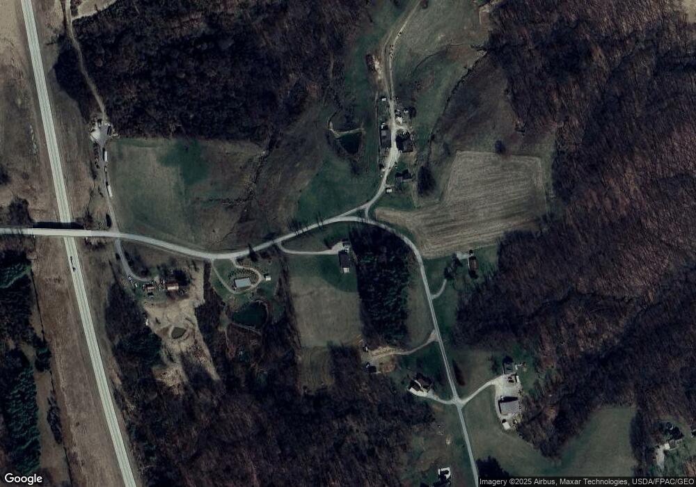
11695 Hawks Nest Rd Athens, OH 45701
Estimated Value: $313,322 - $330,000
3
Beds
2
Baths
1,512
Sq Ft
$212/Sq Ft
Est. Value
About This Home
This home is located at 11695 Hawks Nest Rd, Athens, OH 45701 and is currently estimated at $320,107, approximately $211 per square foot. 11695 Hawks Nest Rd is a home with nearby schools including Alexander Elementary School and Alexander Junior/Senior High School.
Ownership History
Date
Name
Owned For
Owner Type
Purchase Details
Closed on
Jan 4, 2017
Sold by
Joseph E Essman
Bought by
Shaner Amy and Shaner Bryan
Current Estimated Value
Home Financials for this Owner
Home Financials are based on the most recent Mortgage that was taken out on this home.
Original Mortgage
$40,000
Outstanding Balance
$33,150
Interest Rate
4.32%
Estimated Equity
$286,957
Purchase Details
Closed on
Sep 9, 2016
Sold by
Shaner Dustin B and Shaner Sarah E
Bought by
Shaner Bryan C and Shaner Amy E
Purchase Details
Closed on
Jul 16, 2003
Sold by
Shaner Bryan C and Shaner Amy E
Bought by
Shaner Dustin B
Create a Home Valuation Report for This Property
The Home Valuation Report is an in-depth analysis detailing your home's value as well as a comparison with similar homes in the area
Home Values in the Area
Average Home Value in this Area
Purchase History
| Date | Buyer | Sale Price | Title Company |
|---|---|---|---|
| Shaner Amy | -- | -- | |
| Shaner Bryan C | -- | Attorney | |
| Shaner Dustin B | -- | -- |
Source: Public Records
Mortgage History
| Date | Status | Borrower | Loan Amount |
|---|---|---|---|
| Open | Shaner Amy | $40,000 | |
| Closed | Shaner Amy | -- |
Source: Public Records
Tax History Compared to Growth
Tax History
| Year | Tax Paid | Tax Assessment Tax Assessment Total Assessment is a certain percentage of the fair market value that is determined by local assessors to be the total taxable value of land and additions on the property. | Land | Improvement |
|---|---|---|---|---|
| 2024 | $3,412 | $81,070 | $14,210 | $66,860 |
| 2023 | $3,273 | $80,550 | $14,210 | $66,340 |
| 2022 | $2,758 | $63,060 | $10,930 | $52,130 |
| 2021 | $2,761 | $63,060 | $10,930 | $52,130 |
| 2020 | $2,745 | $63,060 | $10,930 | $52,130 |
| 2019 | $2,727 | $62,670 | $9,680 | $52,990 |
| 2018 | $2,664 | $62,670 | $9,680 | $52,990 |
| 2017 | $2,174 | $50,810 | $9,680 | $41,130 |
| 2016 | $506 | $11,280 | $9,090 | $2,190 |
| 2015 | $762 | $11,280 | $9,090 | $2,190 |
| 2014 | $762 | $11,280 | $9,090 | $2,190 |
| 2013 | $606 | $9,490 | $7,340 | $2,150 |
Source: Public Records
Map
Nearby Homes
- 0 Bates Rd
- 0 Pleasanton Rd Unit 2434213
- 14 Dove Dr
- 5 Applegate Dr
- 6650 Frum Rd
- 2100 Old State Route 33
- 130 Longview Heights Rd
- 3 Farhills Dr
- 17 Andover Rd
- 43 Pomeroy Rd
- 0 Echo Ln
- 99 Mulligan Rd
- 199 Longview Heights Rd
- 14050 Rocky Point Rd
- 6545 Long Run Rd
- 4 Larson's Way
- 31 Angela Dr
- 0 Larson's Way Unit 2431585
- 8005 Stone Castle Rd
- 5 Lamar Dr
- 11895 Hawks Nest Rd
- 11681 Hawks Nest Rd
- 11840 Hawks Nest Rd
- 11625 Hawks Nest Rd
- 11866 Hawks Nest Rd
- 11909 Hawks Nest Rd
- 12000 Hawks Nest Rd
- 11941 Hawks Nest Rd
- 4292 Bates Rd
- 4263 Bates Rd
- 4410 Bates Rd
- 4291 Bates Rd
- 4335 Bates Rd
- 4432 Bates Rd
- 3722 Bates Rd
- 11919 Hawks Nest Rd
- 3701 Bates Rd
- 3698 Bates Rd
- 3324 Bates Rd
- 4540 Bates Rd
