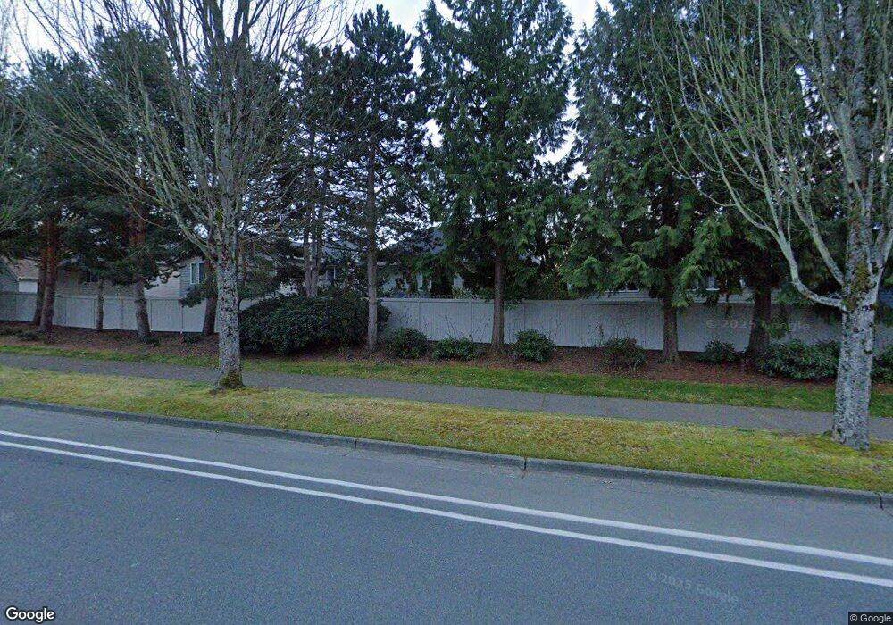
11697 Hartford Way Mukilteo, WA 98275
Harbour Pointe NeighborhoodEstimated Value: $896,853 - $980,000
3
Beds
3
Baths
2,000
Sq Ft
$464/Sq Ft
Est. Value
About This Home
3 bed/2.5 bath + bonus in Harbour Pointe Village. Home has air conditioning!
Ownership History
Date
Name
Owned For
Owner Type
Purchase Details
Closed on
Dec 7, 2016
Sold by
Gore Michael W and Gore Linda L
Bought by
Beach Front Llc
Current Estimated Value
Purchase Details
Closed on
Mar 4, 2005
Sold by
The Kim Family Revocable Living Trust
Bought by
Gore Michael W and Gore Linda
Home Financials for this Owner
Home Financials are based on the most recent Mortgage that was taken out on this home.
Original Mortgage
$230,000
Interest Rate
5.66%
Mortgage Type
Purchase Money Mortgage
Purchase Details
Closed on
Dec 1, 2004
Sold by
Kim Ki Sop and Kim Wan S
Bought by
Kim Ki Sop and Kim Wan S
Purchase Details
Closed on
May 10, 2001
Sold by
John F Buchan Construction Inc
Bought by
Kim Kisop and Kim Wan S
Home Financials for this Owner
Home Financials are based on the most recent Mortgage that was taken out on this home.
Original Mortgage
$250,000
Interest Rate
6.89%
Create a Home Valuation Report for This Property
The Home Valuation Report is an in-depth analysis detailing your home's value as well as a comparison with similar homes in the area
Home Values in the Area
Average Home Value in this Area
Purchase History
| Date | Buyer | Sale Price | Title Company |
|---|---|---|---|
| Beach Front Llc | -- | None Available | |
| Gore Michael W | $379,950 | Ticor Title Company | |
| Kim Ki Sop | -- | -- | |
| Kim Kisop | $314,000 | -- |
Source: Public Records
Mortgage History
| Date | Status | Borrower | Loan Amount |
|---|---|---|---|
| Previous Owner | Gore Michael W | $230,000 | |
| Previous Owner | Kim Kisop | $250,000 |
Source: Public Records
Property History
| Date | Event | Price | List to Sale | Price per Sq Ft |
|---|---|---|---|---|
| 08/08/2025 08/08/25 | Off Market | $3,500 | -- | -- |
| 07/21/2025 07/21/25 | For Rent | $3,500 | -- | -- |
Tax History Compared to Growth
Tax History
| Year | Tax Paid | Tax Assessment Tax Assessment Total Assessment is a certain percentage of the fair market value that is determined by local assessors to be the total taxable value of land and additions on the property. | Land | Improvement |
|---|---|---|---|---|
| 2025 | $5,903 | $862,100 | $482,000 | $380,100 |
| 2024 | $5,903 | $814,000 | $452,000 | $362,000 |
| 2023 | $5,881 | $837,100 | $425,000 | $412,100 |
| 2022 | $5,172 | $631,800 | $282,000 | $349,800 |
| 2020 | $4,512 | $554,600 | $255,000 | $299,600 |
| 2019 | $4,077 | $512,600 | $222,000 | $290,600 |
| 2018 | $4,656 | $507,900 | $214,000 | $293,900 |
| 2017 | $4,119 | $467,100 | $191,000 | $276,100 |
| 2016 | $3,869 | $436,500 | $169,000 | $267,500 |
| 2015 | $4,197 | $425,700 | $157,000 | $268,700 |
| 2013 | $3,705 | $351,200 | $145,000 | $206,200 |
Source: Public Records
Map
Nearby Homes
- 11702 Wilmington Way
- 4818 Pointes Dr
- 12058 Concord Way
- 12303 Harbour Pointe Blvd Unit W101
- 5400 Harbour Pointe Blvd Unit F 201
- 5300 Harbour Pointe Blvd Unit 307A
- 5300 Harbour Pointe Blvd Unit 311H
- 5500 Harbour Pointe Blvd Unit B202
- 11521 Pine Ct Unit 4
- 5615 114th St SW
- 5824 111th Place SW
- 10705 57th Place W
- 13303 48th Place W
- 12807 60th Ave W
- 13322 47th Place W
- 11017 Villa Rosa Ln Unit 11017
- 10961 Villa Monte Ct Unit 10961
- 12900 Beverly Park Rd
- 10122 50th Place W
- 12117 Clearview Dr
- 11681 Hartford Way
- 11675 Hartford Way
- 4683 Bridgeport Place
- 4640 Camden Place
- 4636 Camden Place
- 11703 Hartford Way
- 4654 Camden Place
- 11707 Hartford Way
- 4697 Bridgeport Place
- 11711 Hartford Way
- 4658 Camden Place
- 4628 Camden Place
- 4722 Bridgeport Place
- 4711 Bridgeport Place
- 4726 Bridgeport Place
- 4662 Camden Place
- 4715 Bridgeport Place
- 4651 Northport Dr
- 4729 Northport Dr
- 4635 Camden Place
