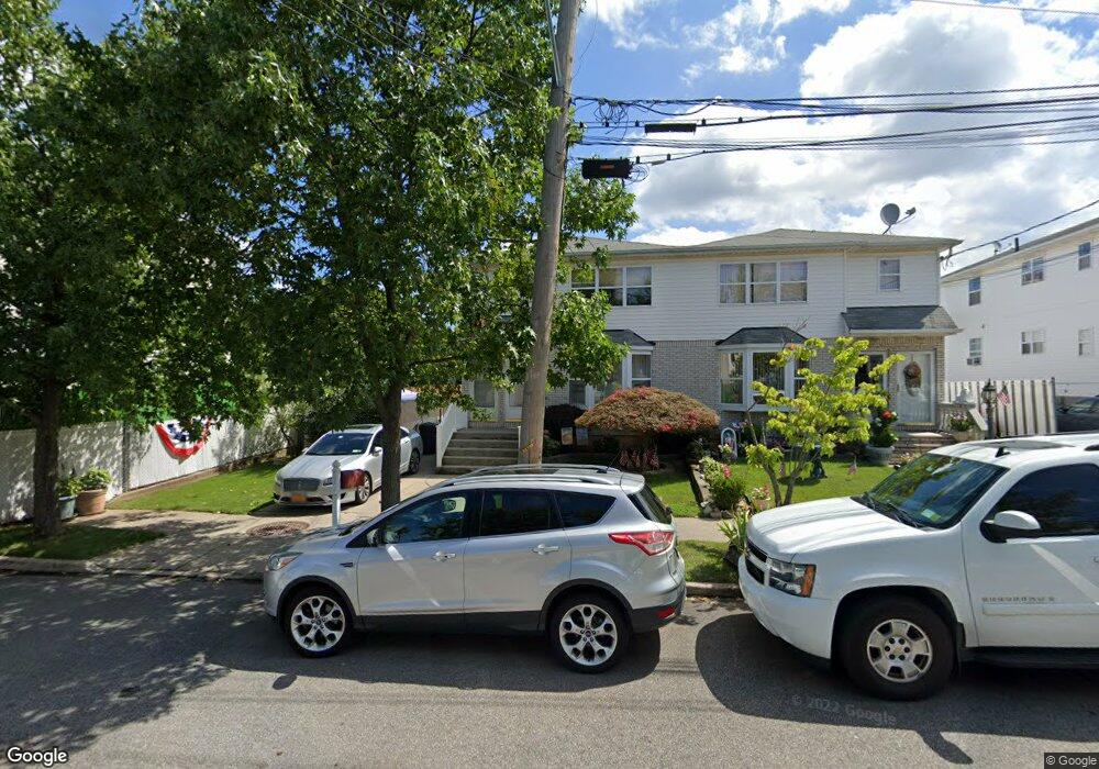
117-119 Pemberton Ave Staten Island, NY 10308
Great Kills NeighborhoodEstimated Value: $799,641 - $1,041,000
--
Bed
--
Bath
2,080
Sq Ft
$445/Sq Ft
Est. Value
About This Home
This home is located at 117-119 Pemberton Ave, Staten Island, NY 10308 and is currently estimated at $924,910, approximately $444 per square foot. 117-119 Pemberton Ave is a home located in Richmond County with nearby schools including P.S. 32 The Gifford School, I.S. 075 Frank D. Paulo, and Susan E Wagner High School.
Ownership History
Date
Name
Owned For
Owner Type
Purchase Details
Closed on
Apr 5, 2004
Sold by
Manzella Theresa J and Manzella Mamie
Bought by
Manzella Theresa J
Current Estimated Value
Home Financials for this Owner
Home Financials are based on the most recent Mortgage that was taken out on this home.
Original Mortgage
$380,000
Outstanding Balance
$185,529
Interest Rate
6.2%
Mortgage Type
New Conventional
Estimated Equity
$739,381
Create a Home Valuation Report for This Property
The Home Valuation Report is an in-depth analysis detailing your home's value as well as a comparison with similar homes in the area
Home Values in the Area
Average Home Value in this Area
Purchase History
| Date | Buyer | Sale Price | Title Company |
|---|---|---|---|
| Manzella Theresa J | -- | Commonwealth Land Title Insu |
Source: Public Records
Mortgage History
| Date | Status | Borrower | Loan Amount |
|---|---|---|---|
| Open | Manzella Theresa J | $380,000 |
Source: Public Records
Tax History Compared to Growth
Tax History
| Year | Tax Paid | Tax Assessment Tax Assessment Total Assessment is a certain percentage of the fair market value that is determined by local assessors to be the total taxable value of land and additions on the property. | Land | Improvement |
|---|---|---|---|---|
| 2025 | $7,584 | $48,060 | $10,295 | $37,765 |
| 2024 | $7,596 | $41,340 | $11,879 | $29,461 |
| 2023 | $7,219 | $36,944 | $9,486 | $27,458 |
| 2022 | $6,671 | $39,720 | $12,540 | $27,180 |
| 2021 | $6,617 | $32,880 | $12,540 | $20,340 |
| 2020 | $7,400 | $36,360 | $12,540 | $23,820 |
| 2019 | $7,785 | $39,480 | $12,540 | $26,940 |
| 2018 | $7,129 | $36,432 | $11,381 | $25,051 |
| 2017 | $6,904 | $35,340 | $12,540 | $22,800 |
| 2016 | $6,918 | $36,157 | $12,348 | $23,809 |
| 2015 | $5,871 | $34,111 | $9,859 | $24,252 |
| 2014 | $5,871 | $32,181 | $9,772 | $22,409 |
Source: Public Records
Map
Nearby Homes
- 87 Pemberton Ave
- 132 Elkhart St
- 420 Arthur Kill Rd
- 466 Doane Ave
- 72 Eric Ln
- 12 Lexington Ln
- 62 Daleham St
- 414 Elverton Ave
- 379 Brookfield Ave
- 12 Troy St
- 38 Troy St
- 40 Troy St
- 350 Brookfield Ave
- 52 Barlow Ave
- 259 Brookfield Ave
- 160 Tanglewood Dr
- 339 Abingdon Ave
- 305 Corbin Ave
- 47 Jumel St
- 4 Country Woods Ln
- 117 Pemberton Ave Unit 119
- 115 Pemberton Ave
- 111 Pemberton Ave
- 23 Dorit Ct
- 120 Pemberton Ave Unit 1
- 120 Pemberton Ave Unit 2
- 120 Pemberton Ave
- 450 Giffords Ln
- 109 Pemberton Ave
- 21 Dorit Ct
- 17 Dorit Ct
- 105 Pemberton Ave
- 460 Giffords Ln
- 468 Arthur Kill Rd
- 24 Dorit Ct
- 464 Arthur Kill Rd Unit Basement
- 464 Arthur Kill Rd Unit 1
- 464 Arthur Kill Rd
- 15 Dorit Ct
- 101 Pemberton Ave