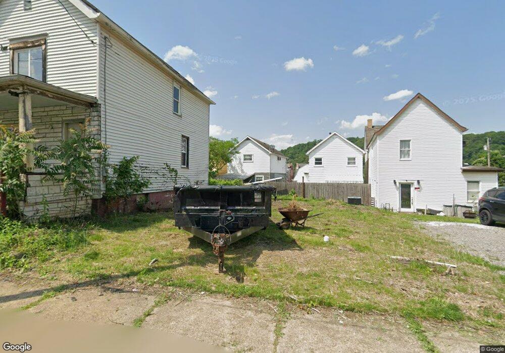
117 18th St Vandergrift, PA 15690
Estimated Value: $72,199 - $95,000
--
Bed
--
Bath
--
Sq Ft
1,568
Sq Ft Lot
About This Home
This home is located at 117 18th St, Vandergrift, PA 15690 and is currently estimated at $81,800. 117 18th St is a home located in Westmoreland County with nearby schools including Kiski Area High School.
Ownership History
Date
Name
Owned For
Owner Type
Purchase Details
Closed on
Mar 24, 2025
Sold by
Westmoreland County Land Bank
Bought by
Blystone Joseph D
Current Estimated Value
Purchase Details
Closed on
Jul 3, 2024
Sold by
Westmoreland Cnty
Bought by
Westmoreland County Land Bank
Purchase Details
Closed on
Sep 15, 2005
Sold by
Wysocki Chris and Wysocki Christopher J
Bought by
Cole Gabriel C
Home Financials for this Owner
Home Financials are based on the most recent Mortgage that was taken out on this home.
Original Mortgage
$132,000
Interest Rate
5.84%
Mortgage Type
Unknown
Purchase Details
Closed on
Apr 22, 2004
Sold by
Hofscher Robert A and Hofscher Corinne L
Bought by
Cole Gabriel and Wysocki Chris
Create a Home Valuation Report for This Property
The Home Valuation Report is an in-depth analysis detailing your home's value as well as a comparison with similar homes in the area
Home Values in the Area
Average Home Value in this Area
Purchase History
| Date | Buyer | Sale Price | Title Company |
|---|---|---|---|
| Blystone Joseph D | $500 | None Listed On Document | |
| Westmoreland County Land Bank | $1,226 | None Listed On Document | |
| Cole Gabriel C | $82,106 | -- | |
| Cole Gabriel | $5,000 | -- |
Source: Public Records
Mortgage History
| Date | Status | Borrower | Loan Amount |
|---|---|---|---|
| Previous Owner | Cole Gabriel C | $132,000 | |
| Previous Owner | Cole Gabriel C | $132,000 |
Source: Public Records
Tax History Compared to Growth
Tax History
| Year | Tax Paid | Tax Assessment Tax Assessment Total Assessment is a certain percentage of the fair market value that is determined by local assessors to be the total taxable value of land and additions on the property. | Land | Improvement |
|---|---|---|---|---|
| 2025 | $845 | $5,180 | $1,000 | $4,180 |
| 2024 | $805 | $5,180 | $1,000 | $4,180 |
| 2023 | $741 | $5,180 | $1,000 | $4,180 |
| 2022 | $726 | $5,180 | $1,000 | $4,180 |
| 2021 | $726 | $5,180 | $1,000 | $4,180 |
| 2020 | $724 | $5,180 | $1,000 | $4,180 |
| 2019 | $721 | $5,180 | $1,000 | $4,180 |
| 2018 | $711 | $5,180 | $1,000 | $4,180 |
| 2017 | $696 | $5,180 | $1,000 | $4,180 |
| 2016 | $686 | $5,180 | $1,000 | $4,180 |
| 2015 | $686 | $5,180 | $1,000 | $4,180 |
| 2014 | $683 | $5,180 | $1,000 | $4,180 |
Source: Public Records
Map
Nearby Homes
- 129 Franklin Ave
- 121 Hamilton Ave
- 154 Jefferson Ave Unit 6
- 219 Quay St
- 1116 Grant St
- 112 Farragut Ave Unit 3
- 137 Sherman Ave
- 133 Sherman Ave
- 325 -1/2 Quay St
- 419 Vandergrift Ln
- 1252 Jefferson St
- 404 1/2 Franklin Ave
- 1805 Moore Ave
- 2106 River Rd
- 608 Kennedy Ave
- 716 Kennedy Ave
- 311 Elm St
- 314 Linden St
- 315 Spruce St
- 712 16th St