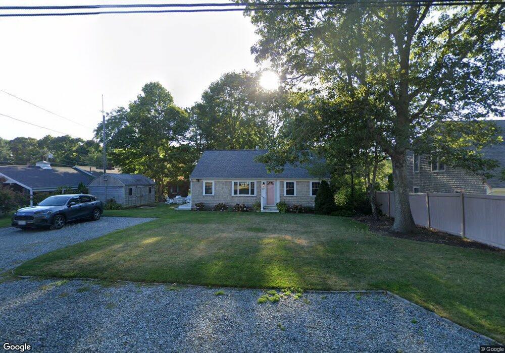
117 4th Ave Hyannis, MA 2601
Estimated Value: $599,031 - $711,000
3
Beds
1
Bath
936
Sq Ft
$728/Sq Ft
Est. Value
About This Home
This home is located at 117 4th Ave, Hyannis, MA 2601 and is currently estimated at $681,508, approximately $728 per square foot. 117 4th Ave is a home located in Barnstable County with nearby schools including Hyannis West Elementary School, Barnstable United Elementary School, and Barnstable Intermediate School.
Ownership History
Date
Name
Owned For
Owner Type
Purchase Details
Closed on
Jan 8, 2024
Sold by
Campion Robert L and Campion Lorraine T
Bought by
Camp Oak T and Campion
Current Estimated Value
Purchase Details
Closed on
Aug 4, 2004
Sold by
Schofield Shirley A
Bought by
Schofield David W and Schofield Richard H
Create a Home Valuation Report for This Property
The Home Valuation Report is an in-depth analysis detailing your home's value as well as a comparison with similar homes in the area
Home Values in the Area
Average Home Value in this Area
Purchase History
| Date | Buyer | Sale Price | Title Company |
|---|---|---|---|
| Camp Oak T | -- | None Available | |
| Schofield David W | -- | -- |
Source: Public Records
Tax History
| Year | Tax Paid | Tax Assessment Tax Assessment Total Assessment is a certain percentage of the fair market value that is determined by local assessors to be the total taxable value of land and additions on the property. | Land | Improvement |
|---|---|---|---|---|
| 2025 | $4,893 | $527,800 | $309,700 | $218,100 |
| 2024 | $4,730 | $522,700 | $309,700 | $213,000 |
| 2023 | $4,481 | $468,200 | $287,900 | $180,300 |
| 2022 | $4,093 | $353,800 | $199,100 | $154,700 |
| 2021 | $4,063 | $341,100 | $218,000 | $123,100 |
| 2020 | $4,143 | $336,000 | $218,000 | $118,000 |
| 2019 | $4,042 | $321,300 | $227,500 | $93,800 |
| 2018 | $3,761 | $305,800 | $229,500 | $76,300 |
| 2017 | $3,604 | $300,600 | $229,500 | $71,100 |
| 2016 | $3,654 | $311,500 | $240,400 | $71,100 |
| 2015 | $3,542 | $306,100 | $225,100 | $81,000 |
Source: Public Records
Map
Nearby Homes
- 140 6th Ave
- 260 Tobey Way
- 20 Sunset Terrace
- 36 Grouse Ln
- 780 Craigville Beach Rd Unit D-2
- 780 Craigville Beach Rd Unit 1
- 780 Craigville Beach Rd
- 33 Edgewood Rd
- 83 Peacock Dr
- 14 Marston Ave
- 46 Washington Ave
- 18 Mount Vernon Ave
- 172 Irving Ave
- 50 Redwood Ln
- 498 Elliott Rd
- 443 Elliott Rd
- 1060 Craigville Beach Rd
- 135 W Main St Unit 7
- 180 Pond View Dr
- 179 Sudbury Ln
Your Personal Tour Guide
Ask me questions while you tour the home.