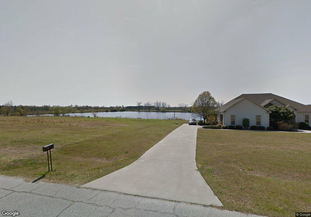
117 Alans Way Broxton, GA 31519
Estimated Value: $277,000 - $365,000
--
Bed
3
Baths
2,111
Sq Ft
$148/Sq Ft
Est. Value
About This Home
This home is located at 117 Alans Way, Broxton, GA 31519 and is currently estimated at $313,409, approximately $148 per square foot. 117 Alans Way is a home located in Coffee County with nearby schools including Broxton-Mary Hayes Elementary School, Coffee Middle School, and Coffee County High School.
Ownership History
Date
Name
Owned For
Owner Type
Purchase Details
Closed on
Jul 1, 2013
Sold by
Robinson Benjamin D
Bought by
Givens Melissa Lee
Current Estimated Value
Home Financials for this Owner
Home Financials are based on the most recent Mortgage that was taken out on this home.
Original Mortgage
$152,040
Outstanding Balance
$109,945
Interest Rate
3.79%
Mortgage Type
New Conventional
Estimated Equity
$203,464
Purchase Details
Closed on
Aug 18, 2006
Sold by
Summa Builders Inc
Bought by
Robinson Benjamin D
Home Financials for this Owner
Home Financials are based on the most recent Mortgage that was taken out on this home.
Original Mortgage
$35,600
Interest Rate
6.73%
Mortgage Type
New Conventional
Create a Home Valuation Report for This Property
The Home Valuation Report is an in-depth analysis detailing your home's value as well as a comparison with similar homes in the area
Home Values in the Area
Average Home Value in this Area
Purchase History
| Date | Buyer | Sale Price | Title Company |
|---|---|---|---|
| Givens Melissa Lee | $145,000 | -- | |
| Robinson Benjamin D | $178,000 | -- |
Source: Public Records
Mortgage History
| Date | Status | Borrower | Loan Amount |
|---|---|---|---|
| Open | Givens Melissa Lee | $152,040 | |
| Previous Owner | Robinson Benjamin D | $35,600 | |
| Previous Owner | Robinson Benjamin D | $142,400 |
Source: Public Records
Tax History Compared to Growth
Tax History
| Year | Tax Paid | Tax Assessment Tax Assessment Total Assessment is a certain percentage of the fair market value that is determined by local assessors to be the total taxable value of land and additions on the property. | Land | Improvement |
|---|---|---|---|---|
| 2024 | $1,557 | $70,903 | $12,000 | $58,903 |
| 2023 | $1,571 | $70,903 | $12,000 | $58,903 |
| 2022 | $1,721 | $70,903 | $12,000 | $58,903 |
| 2021 | $1,721 | $70,903 | $12,000 | $58,903 |
| 2020 | $1,722 | $70,903 | $12,000 | $58,903 |
| 2019 | $1,722 | $70,903 | $12,000 | $58,903 |
| 2018 | $1,718 | $70,703 | $12,000 | $58,703 |
| 2017 | $1,724 | $70,703 | $12,000 | $58,703 |
| 2016 | $1,725 | $70,703 | $12,000 | $58,703 |
| 2015 | $1,734 | $70,703 | $12,000 | $58,703 |
| 2014 | $1,429 | $70,703 | $12,000 | $58,703 |
Source: Public Records
Map
Nearby Homes
- 310 Leyland Dr
- 2002 Apache Trail
- 161 Green Tree Dr
- 3459 Douglas Broxton Hwy (North Hwy 441)
- 3751 Douglas Braxton Hwy
- 407 Broxton West Green Hwy
- 4653 Douglas Braxton Hwy
- 3459 Douglas Braxton Hwy
- 744 Lotts Crossing
- 0 Hwy 301 Hwy Unit 1635753
- 504 Miller Ave
- 5495 Cross Rd
- 1428 Cross Rd
- 00 Georgia 206 Connector
- 1020 Alabama St N
- 00 Rocky Pond Rd
- 1010 Clough Blvd
- 550 Isaac Brigmond Rd
- 210 Hickory Ridge
- 180 Clough Blvd