117 Anson Rd Concord, MA 01742
Estimated Value: $1,147,000 - $1,683,000
4
Beds
3
Baths
3,330
Sq Ft
$450/Sq Ft
Est. Value
About This Home
This home is located at 117 Anson Rd, Concord, MA 01742 and is currently estimated at $1,497,529, approximately $449 per square foot. 117 Anson Rd is a home located in Middlesex County with nearby schools including Willard School, Concord Middle School, and Corwin-Russell School at Broccoli Hall.
Ownership History
Date
Name
Owned For
Owner Type
Purchase Details
Closed on
Mar 13, 2023
Sold by
Israel David I and Israel Sara E
Bought by
Israel Ft
Current Estimated Value
Purchase Details
Closed on
Aug 1, 1990
Sold by
Tribou Richard W
Bought by
Israel David I
Create a Home Valuation Report for This Property
The Home Valuation Report is an in-depth analysis detailing your home's value as well as a comparison with similar homes in the area
Home Values in the Area
Average Home Value in this Area
Purchase History
| Date | Buyer | Sale Price | Title Company |
|---|---|---|---|
| Israel Ft | -- | None Available | |
| Israel David I | $238,000 | -- |
Source: Public Records
Mortgage History
| Date | Status | Borrower | Loan Amount |
|---|---|---|---|
| Previous Owner | Israel David I | $40,000 | |
| Previous Owner | Israel David I | $171,000 | |
| Previous Owner | Israel David I | $172,000 |
Source: Public Records
Tax History Compared to Growth
Tax History
| Year | Tax Paid | Tax Assessment Tax Assessment Total Assessment is a certain percentage of the fair market value that is determined by local assessors to be the total taxable value of land and additions on the property. | Land | Improvement |
|---|---|---|---|---|
| 2025 | $167 | $1,261,300 | $609,900 | $651,400 |
| 2024 | $16,788 | $1,278,600 | $609,900 | $668,700 |
| 2023 | $15,768 | $1,216,700 | $580,800 | $635,900 |
| 2022 | $14,680 | $994,600 | $464,600 | $530,000 |
| 2021 | $14,389 | $977,500 | $464,600 | $512,900 |
| 2020 | $14,038 | $986,500 | $464,600 | $521,900 |
| 2019 | $13,242 | $933,200 | $451,200 | $482,000 |
| 2018 | $12,655 | $885,600 | $410,200 | $475,400 |
| 2017 | $12,579 | $894,000 | $418,600 | $475,400 |
| 2016 | $12,513 | $898,900 | $418,600 | $480,300 |
| 2015 | $11,448 | $801,100 | $361,700 | $439,400 |
Source: Public Records
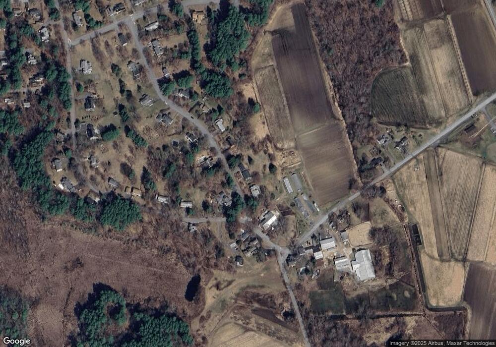
Map
Nearby Homes
- 56 Rookery Ln Unit 4
- 40 Rookery Ln Unit 5
- 72 Rookery Ln Unit 3
- 24 Rookery Ln Unit 6
- 121 White Pond Way Unit 121
- 401 Emery Ln Unit 304
- 49 Birchwood Ln Unit 49
- Lot 5 Sailaway Ln
- 45 N Crescent Cir
- Lot 4 Sailaway Ln
- 2 Betts Way
- 8 Mina Way
- 0 Elm Unit 73282184
- Lot 9 Sailaway Ln
- 4 Betts Way
- 122 Sand Gully Rd N Unit B
- 941 Concord Rd
- 50 Windingwood Ln
- 497 Old Road to 9 Acre Corner
- 37 Wolf Pine Way
- 127 Anson Rd
- 93 Anson Rd
- 94 Anson Rd
- 371 Plainfield Rd
- 83 Anson Rd
- 80 Anson Rd
- 351 Plainfield Rd
- 382 Plainfield Rd
- 71 Anson Rd
- 396 Plainfield Rd
- 394 Plainfield Rd
- 394 Plainfield Rd Unit 394
- 394 Plainfield Rd Unit 1
- 394 Plainfield Rd Unit 3
- 392 Plainfield Rd
- 350 Plainfield Rd
- 329 Plainfield Rd
- 378 Plainfield Rd
- 415 Plainfield Rd
- 58 Anson Rd