117 Apache Way Tewksbury, MA 01876
Estimated Value: $486,484 - $497,000
2
Beds
2
Baths
1,274
Sq Ft
$387/Sq Ft
Est. Value
About This Home
This home is located at 117 Apache Way, Tewksbury, MA 01876 and is currently estimated at $493,121, approximately $387 per square foot. 117 Apache Way is a home located in Middlesex County with nearby schools including Heath-Brook Elementary School, John W. Wynn Middle School, and John F. Ryan Elementary School.
Ownership History
Date
Name
Owned For
Owner Type
Purchase Details
Closed on
Oct 3, 2001
Sold by
Censky Mark J
Bought by
Hinds David K
Current Estimated Value
Home Financials for this Owner
Home Financials are based on the most recent Mortgage that was taken out on this home.
Original Mortgage
$100,000
Interest Rate
6.89%
Mortgage Type
Purchase Money Mortgage
Purchase Details
Closed on
Nov 22, 1996
Sold by
Furciniti Douglas and Furciniti Deanne
Bought by
Censky Mark J
Purchase Details
Closed on
Mar 30, 1988
Sold by
Fabiani Stephen J
Bought by
Furciniti Douglas J
Home Financials for this Owner
Home Financials are based on the most recent Mortgage that was taken out on this home.
Original Mortgage
$127,700
Interest Rate
9.89%
Mortgage Type
Purchase Money Mortgage
Create a Home Valuation Report for This Property
The Home Valuation Report is an in-depth analysis detailing your home's value as well as a comparison with similar homes in the area
Home Values in the Area
Average Home Value in this Area
Purchase History
| Date | Buyer | Sale Price | Title Company |
|---|---|---|---|
| Hinds David K | $230,000 | -- | |
| Censky Mark J | $123,500 | -- | |
| Furciniti Douglas J | $141,900 | -- |
Source: Public Records
Mortgage History
| Date | Status | Borrower | Loan Amount |
|---|---|---|---|
| Open | Furciniti Douglas J | $153,700 | |
| Closed | Furciniti Douglas J | $100,000 | |
| Previous Owner | Furciniti Douglas J | $127,700 |
Source: Public Records
Tax History Compared to Growth
Tax History
| Year | Tax Paid | Tax Assessment Tax Assessment Total Assessment is a certain percentage of the fair market value that is determined by local assessors to be the total taxable value of land and additions on the property. | Land | Improvement |
|---|---|---|---|---|
| 2025 | $5,759 | $435,600 | $0 | $435,600 |
| 2024 | $5,320 | $397,300 | $0 | $397,300 |
| 2023 | $4,905 | $347,900 | $0 | $347,900 |
| 2022 | $4,800 | $315,800 | $0 | $315,800 |
| 2021 | $4,703 | $299,200 | $0 | $299,200 |
| 2020 | $4,674 | $292,700 | $0 | $292,700 |
| 2019 | $4,038 | $254,900 | $0 | $254,900 |
| 2018 | $4,045 | $250,800 | $0 | $250,800 |
| 2017 | $3,802 | $233,100 | $0 | $233,100 |
| 2016 | $3,543 | $216,700 | $0 | $216,700 |
| 2015 | $3,179 | $194,200 | $0 | $194,200 |
| 2014 | $3,093 | $192,000 | $0 | $192,000 |
Source: Public Records
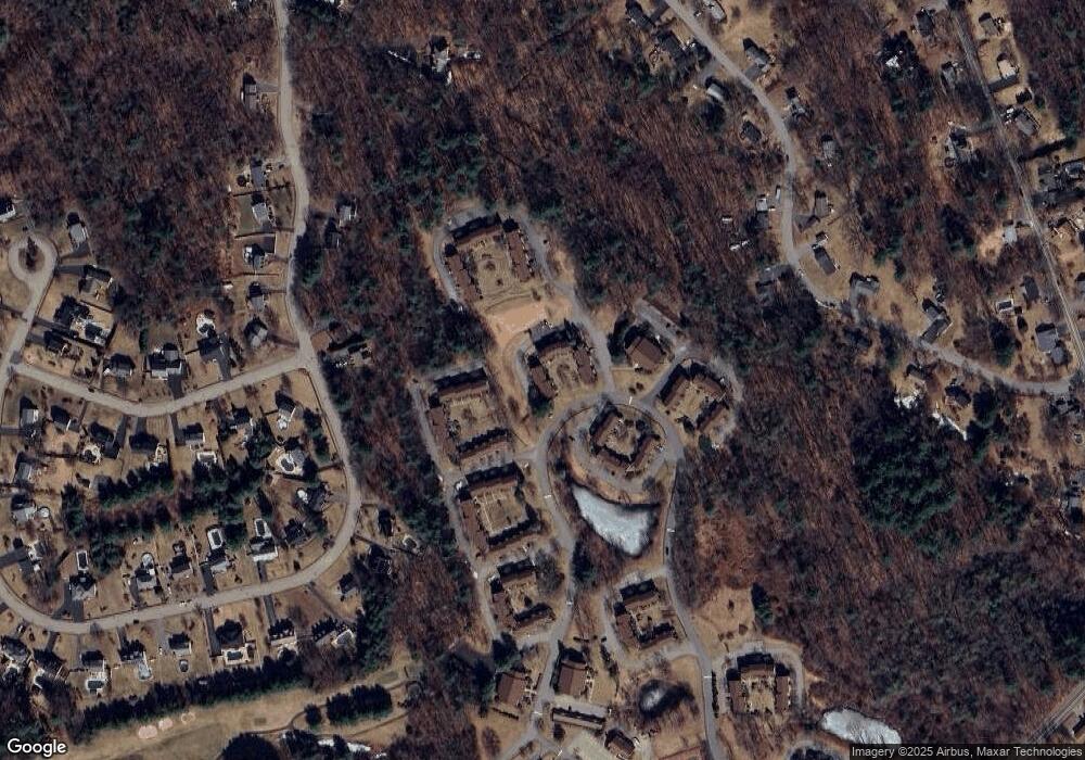
Map
Nearby Homes
- 109 Apache Way
- 177 Apache Way Unit 177
- 71 Apache Way Unit 71
- 261 Apache Way
- 110 Royal Crest Cir
- 127 Caddy Ct
- 107 Eagle Dr Unit 107
- 93 Fairway Dr
- 5 Kensington Way Unit 5
- 16 Eagle Dr
- 111 Patrick Rd Unit 111
- 6 Stonebury Way Unit 6
- 142 Patrick Rd
- 93 Vale St
- 14 Hinckley Rd
- 61 Patrick Rd
- 1418 Main St Unit 201
- 51 Nolan Ct Unit 51
- 11 Orchard St
- 1455 Main St Unit 4
- 120 Apache Way
- 119 Apache Way
- 118 Apache Way
- 116 Apache Way
- 115 Apache Way
- 114 Apache Way
- 113 Apache Way
- 112 Apache Way
- 111 Apache Way
- 110 Apache Way
- 111 Apache Way Unit 111
- 110 Apache Way Unit 110
- 144 Apache Way
- 143 Apache Way
- 142 Apache Way
- 141 Apache Way
- 140 Apache Way
- 139 Apache Way
- 142 Apache Way
- 142 Apache Way Unit 142