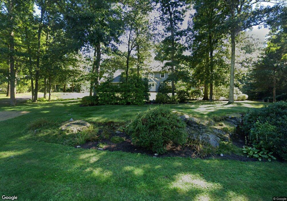
117 Appletree Ln Portland, CT 06480
Estimated Value: $623,669 - $768,000
3
Beds
3
Baths
3,135
Sq Ft
$223/Sq Ft
Est. Value
About This Home
This home is located at 117 Appletree Ln, Portland, CT 06480 and is currently estimated at $699,167, approximately $223 per square foot. 117 Appletree Ln is a home located in Middlesex County with nearby schools including Valley View School, Gildersleeve School, and Brownstone Intermediate School.
Ownership History
Date
Name
Owned For
Owner Type
Purchase Details
Closed on
Sep 18, 2018
Sold by
Brothers Elizabeth A and Brothers Michael
Bought by
Elizabeth A Brothers T
Current Estimated Value
Purchase Details
Closed on
Mar 31, 2004
Sold by
Lemay Richard and Lemay Pamela S
Bought by
Brothers Michael and Brothers Elizabeth
Create a Home Valuation Report for This Property
The Home Valuation Report is an in-depth analysis detailing your home's value as well as a comparison with similar homes in the area
Home Values in the Area
Average Home Value in this Area
Purchase History
| Date | Buyer | Sale Price | Title Company |
|---|---|---|---|
| Elizabeth A Brothers T | -- | -- | |
| Brothers Michael | $425,000 | -- |
Source: Public Records
Mortgage History
| Date | Status | Borrower | Loan Amount |
|---|---|---|---|
| Previous Owner | Brothers Michael | $350,000 | |
| Previous Owner | Brothers Michael | $40,000 | |
| Previous Owner | Brothers Michael | $202,000 |
Source: Public Records
Tax History Compared to Growth
Tax History
| Year | Tax Paid | Tax Assessment Tax Assessment Total Assessment is a certain percentage of the fair market value that is determined by local assessors to be the total taxable value of land and additions on the property. | Land | Improvement |
|---|---|---|---|---|
| 2025 | $11,085 | $314,020 | $64,680 | $249,340 |
| 2024 | $10,771 | $314,020 | $64,680 | $249,340 |
| 2023 | $10,193 | $314,020 | $64,680 | $249,340 |
| 2022 | $10,187 | $314,020 | $64,680 | $249,340 |
| 2021 | $10,278 | $293,580 | $64,680 | $228,900 |
| 2020 | $10,093 | $293,580 | $64,680 | $228,900 |
| 2019 | $9,926 | $293,580 | $64,680 | $228,900 |
| 2018 | $9,926 | $293,580 | $64,680 | $228,900 |
| 2017 | $9,682 | $293,580 | $64,680 | $228,900 |
| 2016 | $10,004 | $307,720 | $82,950 | $224,770 |
| 2015 | $9,952 | $307,720 | $82,950 | $224,770 |
| 2014 | $9,779 | $307,720 | $82,950 | $224,770 |
Source: Public Records
Map
Nearby Homes
- 62 Cornwall St
- 287 Main St
- 426 Cox Rd Unit 4
- 402 Cox Rd Unit 8
- 414 Cox Rd Unit 6
- 432 Cox Rd Unit 3
- 408 Cox Rd Unit 7
- 420 Cox Rd Unit 5
- 438 Cox Rd Unit 2
- 444 Cox Rd Unit 1
- 438 Foote Rd
- 4 Lower Heatherwood
- 4 Lower Heatherwood Unit 4
- 5 Northbridge
- 185 Foote Rd
- 171 Bartlett St
- 35 Primrose Ln
- 27 Primrose Ln
- 23 Primrose Ln
- 11 Edgewood Rd
- 125 Appletree Ln
- 78 Mountain Laurel Way
- 112 Appletree Ln
- 119 Appletree Ln
- 129 Appletree Ln
- 101 Appletree Ln
- 128 Appletree Ln
- 135 Appletree Ln
- 98 Appletree Ln
- 69 Mountain Laurel Way
- 93 Appletree Ln
- 70 Mountain Laurel Way
- 139 Appletree Ln
- 148 Appletree Ln
- 90 Appletree Ln
- 63 Mountain Laurel Way
- 121 Appletree Ln
- 00 Appletree Ln
- 145 Appletree Ln
- 158 Appletree Ln