117 Arbor Way Ln Troutman, NC 28166
Estimated Value: $750,757 - $886,000
2
Beds
2
Baths
1,486
Sq Ft
$543/Sq Ft
Est. Value
About This Home
This home is located at 117 Arbor Way Ln, Troutman, NC 28166 and is currently estimated at $806,939, approximately $543 per square foot. 117 Arbor Way Ln is a home located in Iredell County with nearby schools including Troutman Elementary School, Troutman Middle School, and South Iredell High School.
Ownership History
Date
Name
Owned For
Owner Type
Purchase Details
Closed on
Nov 30, 2018
Sold by
Suttles Alison Keith and Raymer Alison S
Bought by
Chambers Matthew Scott
Current Estimated Value
Purchase Details
Closed on
Jan 30, 2002
Sold by
Raymer Dewey L and Raymer Alison S
Bought by
Raymer Alison S
Home Financials for this Owner
Home Financials are based on the most recent Mortgage that was taken out on this home.
Original Mortgage
$75,000
Interest Rate
7.14%
Purchase Details
Closed on
Nov 1, 1989
Purchase Details
Closed on
May 1, 1987
Purchase Details
Closed on
Jun 1, 1969
Create a Home Valuation Report for This Property
The Home Valuation Report is an in-depth analysis detailing your home's value as well as a comparison with similar homes in the area
Home Values in the Area
Average Home Value in this Area
Purchase History
| Date | Buyer | Sale Price | Title Company |
|---|---|---|---|
| Chambers Matthew Scott | -- | None Available | |
| Raymer Alison S | -- | -- | |
| -- | -- | -- | |
| -- | $145,000 | -- | |
| -- | -- | -- |
Source: Public Records
Mortgage History
| Date | Status | Borrower | Loan Amount |
|---|---|---|---|
| Previous Owner | Raymer Alison S | $75,000 |
Source: Public Records
Tax History Compared to Growth
Tax History
| Year | Tax Paid | Tax Assessment Tax Assessment Total Assessment is a certain percentage of the fair market value that is determined by local assessors to be the total taxable value of land and additions on the property. | Land | Improvement |
|---|---|---|---|---|
| 2024 | $539 | $619,840 | $517,500 | $102,340 |
| 2023 | $3,779 | $619,840 | $517,500 | $102,340 |
| 2022 | $687 | $369,440 | $287,500 | $81,940 |
| 2021 | $778 | $369,440 | $287,500 | $81,940 |
| 2020 | $778 | $369,440 | $287,500 | $81,940 |
| 2019 | $2,282 | $369,440 | $287,500 | $81,940 |
| 2018 | $2,210 | $361,100 | $287,500 | $73,600 |
| 2017 | $2,210 | $361,100 | $287,500 | $73,600 |
| 2016 | $2,210 | $361,100 | $287,500 | $73,600 |
| 2015 | $2,210 | $361,100 | $287,500 | $73,600 |
| 2014 | $2,140 | $379,550 | $300,000 | $79,550 |
Source: Public Records
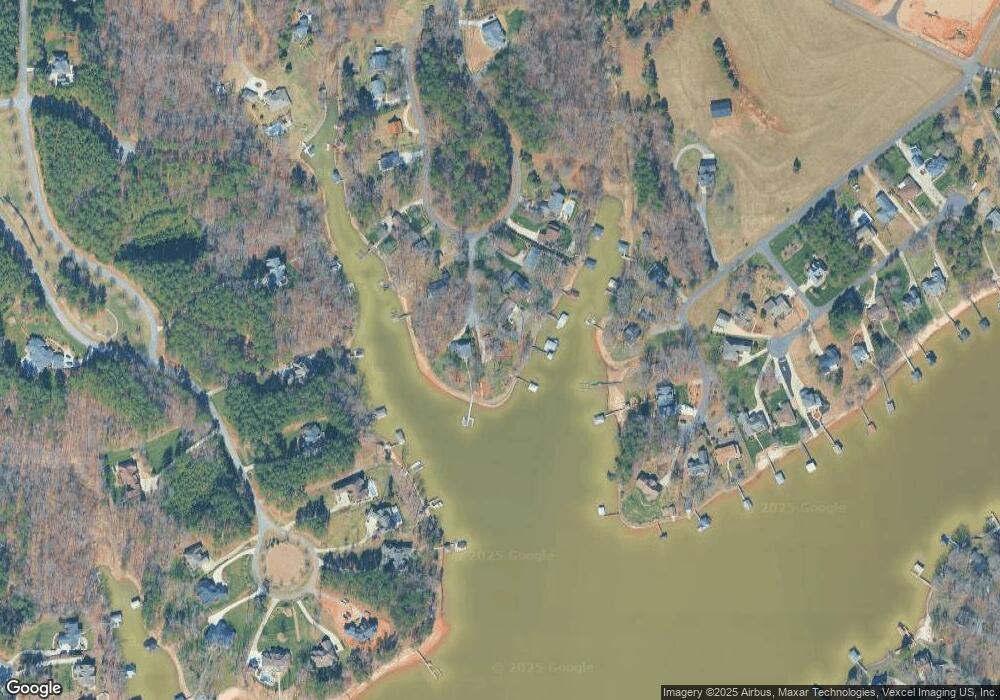
Map
Nearby Homes
- 177 Brer Fox Trail
- 0 Brer Fox Trail Unit 6 CAR4256803
- 111 Cinder Ridge Ct
- 119 Cinder Ridge Ct
- 115 Bentley Ct Unit 15
- 157 Silver Falls Dr
- 125 Bentley Ct Unit 14
- 110 Emmaline Ct
- 120 Bentley Ct Unit 5
- 172 Tennessee Cir
- 164 Crooked Branch Way
- 407 State Park Rd
- 134 Honeycutt Rd Unit 6
- 134 Honeycutt Rd Unit 5
- 134 Honeycutt Rd Unit 4
- 134 Honeycutt Rd Unit 3
- 134 Honeycutt Rd Unit 2
- 134 Honeycutt Rd Unit 1
- 134 Millard Ln
- 181 Stillwater Rd
- 116 Arbor Way Ln
- 111 Arbor Way Ln
- 107 Arbor Way Ln
- 110 Arbor Way Ln
- Lot 18 Arbor Way Ln
- 00 Arbor Way Ln Unit 18
- 106 Arbor Way Ln
- 279 Lockhard Cir
- 287 Lockhard Cir
- 160 Brer Fox Trail
- 275 Lockhard Cir
- 158 Brer Fox Trail
- 164 Brer Fox Trail
- 172 Brer Fox Trail
- 185 Timber Lake Dr
- 185 Timber Lake Dr Unit 622
- 291 Lockhard Cir
- 156 Brer Fox Trail
- 191 Timber Lake Dr
- 186 Brer Fox Trail