117 Avocet Ln West Deptford, NJ 08086
West Deptford Township NeighborhoodEstimated Value: $313,435 - $387,000
--
Bed
--
Bath
1,281
Sq Ft
$272/Sq Ft
Est. Value
About This Home
This home is located at 117 Avocet Ln, West Deptford, NJ 08086 and is currently estimated at $348,359, approximately $271 per square foot. 117 Avocet Ln is a home located in Gloucester County with nearby schools including Red Bank Elementary School, Oakview Elementary School, and Green-Fields Elementary School.
Ownership History
Date
Name
Owned For
Owner Type
Purchase Details
Closed on
Mar 18, 2022
Sold by
Norris Walter A
Bought by
Hubbs Jerald L and Hubbs Linda Ann
Current Estimated Value
Home Financials for this Owner
Home Financials are based on the most recent Mortgage that was taken out on this home.
Original Mortgage
$186,000
Outstanding Balance
$174,247
Interest Rate
4.16%
Mortgage Type
New Conventional
Estimated Equity
$174,112
Purchase Details
Closed on
Oct 2, 2008
Sold by
Donahue John J and Donahue Margaret A
Bought by
Norris Walter A
Purchase Details
Closed on
Aug 21, 2001
Sold by
Hovbros West Deptford Llc
Bought by
Donahue John J and Donahue Margaret A
Home Financials for this Owner
Home Financials are based on the most recent Mortgage that was taken out on this home.
Original Mortgage
$115,750
Interest Rate
7.21%
Create a Home Valuation Report for This Property
The Home Valuation Report is an in-depth analysis detailing your home's value as well as a comparison with similar homes in the area
Home Values in the Area
Average Home Value in this Area
Purchase History
| Date | Buyer | Sale Price | Title Company |
|---|---|---|---|
| Hubbs Jerald L | $248,000 | North American Title | |
| Norris Walter A | $238,000 | Title America Agency Corp | |
| Donahue John J | $144,697 | Certified Title Agency |
Source: Public Records
Mortgage History
| Date | Status | Borrower | Loan Amount |
|---|---|---|---|
| Open | Hubbs Jerald L | $186,000 | |
| Previous Owner | Donahue John J | $115,750 |
Source: Public Records
Tax History Compared to Growth
Tax History
| Year | Tax Paid | Tax Assessment Tax Assessment Total Assessment is a certain percentage of the fair market value that is determined by local assessors to be the total taxable value of land and additions on the property. | Land | Improvement |
|---|---|---|---|---|
| 2025 | $6,307 | $180,600 | $56,900 | $123,700 |
| 2024 | $6,225 | $180,600 | $56,900 | $123,700 |
| 2023 | $6,225 | $180,600 | $56,900 | $123,700 |
| 2022 | $6,196 | $180,600 | $56,900 | $123,700 |
| 2021 | $6,168 | $180,600 | $56,900 | $123,700 |
| 2020 | $6,160 | $180,600 | $56,900 | $123,700 |
| 2019 | $5,989 | $180,600 | $56,900 | $123,700 |
| 2018 | $5,826 | $180,600 | $56,900 | $123,700 |
| 2017 | $5,691 | $180,600 | $56,900 | $123,700 |
| 2016 | $5,532 | $180,600 | $56,900 | $123,700 |
| 2015 | $5,270 | $180,600 | $56,900 | $123,700 |
| 2014 | $5,008 | $180,600 | $56,900 | $123,700 |
Source: Public Records
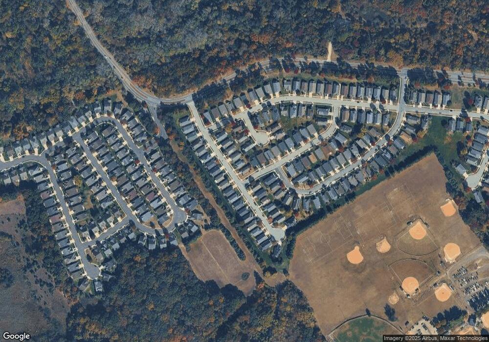
Map
Nearby Homes
- 232 Snowy Egret Ln
- 253 Snowy Egret Ln
- 47 Pelican Place Unit 47
- 67 Pelican Place
- 124 Brent Ct
- 247 Crown Point Rd
- 439 Crown Point Rd
- 10 Kennedy Ct
- 433 Crown Point Rd
- 97 Church St
- 400 Audubon Ave
- 121 Cape May Ave
- 64 Tilden Rd
- 107 Audubon Ave
- 266 Passaic Ave
- 740 Carter Hill Dr
- 1810 Fernwood Dr
- 408 Princeton Ave
- 1311 Barnesdale Rd
- 208 Hessian Ave