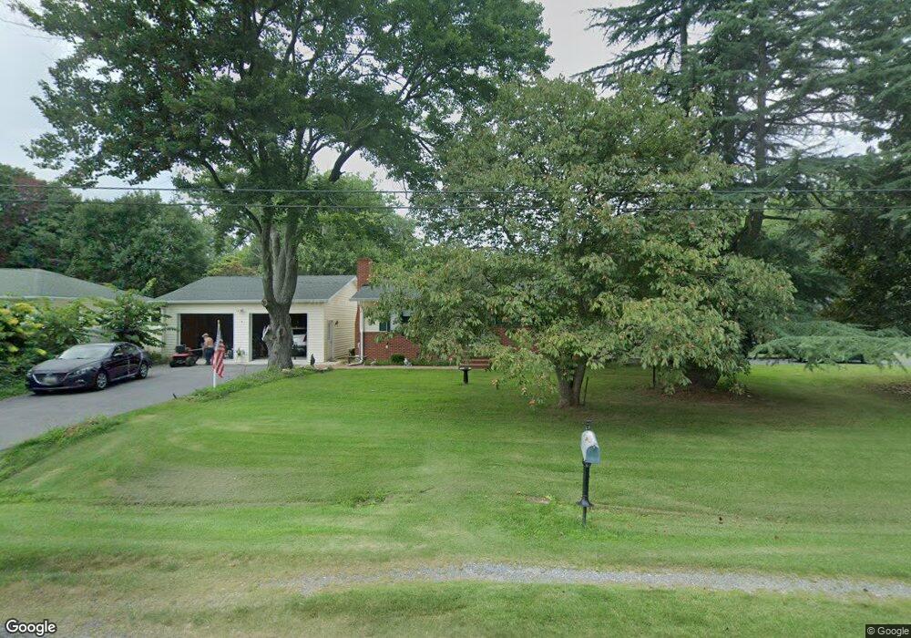
117 Baltimore Dr Stevensville, MD 21666
Estimated Value: $327,014 - $493,000
--
Bed
1
Bath
1,482
Sq Ft
$290/Sq Ft
Est. Value
About This Home
This home is located at 117 Baltimore Dr, Stevensville, MD 21666 and is currently estimated at $429,504, approximately $289 per square foot. 117 Baltimore Dr is a home located in Queen Anne's County with nearby schools including Matapeake Elementary School, Matapeake Middle School, and Kent Island High School.
Ownership History
Date
Name
Owned For
Owner Type
Purchase Details
Closed on
Oct 15, 1982
Sold by
Vedral Harry J and Vedral Irma
Bought by
Gioffre Paul A and Roberta Lynn
Current Estimated Value
Home Financials for this Owner
Home Financials are based on the most recent Mortgage that was taken out on this home.
Original Mortgage
$15,000
Interest Rate
14.6%
Create a Home Valuation Report for This Property
The Home Valuation Report is an in-depth analysis detailing your home's value as well as a comparison with similar homes in the area
Home Values in the Area
Average Home Value in this Area
Purchase History
| Date | Buyer | Sale Price | Title Company |
|---|---|---|---|
| Gioffre Paul A | $60,000 | -- |
Source: Public Records
Mortgage History
| Date | Status | Borrower | Loan Amount |
|---|---|---|---|
| Closed | Gioffre Paul A | $15,000 |
Source: Public Records
Tax History Compared to Growth
Tax History
| Year | Tax Paid | Tax Assessment Tax Assessment Total Assessment is a certain percentage of the fair market value that is determined by local assessors to be the total taxable value of land and additions on the property. | Land | Improvement |
|---|---|---|---|---|
| 2025 | $2,953 | $312,567 | $0 | $0 |
| 2024 | $2,813 | $295,233 | $0 | $0 |
| 2023 | $2,678 | $277,900 | $151,300 | $126,600 |
| 2022 | $2,602 | $269,833 | $0 | $0 |
| 2021 | $2,461 | $261,767 | $0 | $0 |
| 2020 | $2,461 | $253,700 | $156,900 | $96,800 |
| 2019 | $2,346 | $241,100 | $0 | $0 |
| 2018 | $2,236 | $228,500 | $0 | $0 |
| 2017 | $2,131 | $215,900 | $0 | $0 |
| 2016 | -- | $215,900 | $0 | $0 |
| 2015 | $1,856 | $215,900 | $0 | $0 |
| 2014 | $1,856 | $222,600 | $0 | $0 |
Source: Public Records
Map
Nearby Homes
- 0 Chesapeake Estates Dr
- 107 Bay Dr
- 104 Bay Dr
- 114 Birch Rd
- Lot 7 Maple Rd
- 103 Chesapeake Estates Dr
- 1709 Batts Neck Rd
- 0 Reynolds Ave
- 96 Annapolis View Rd
- 0 Allen Ave
- 114 Queens Colony High Rd
- 312 Queens Colony High Rd
- 303 Queens Colony High Rd
- 206 Columbia Ln
- 100 Eareckson Ln
- 410 5 Farms Dr
- 303 Queen Anne Club Dr
- 412 Five Farms Dr
- 312 Columbia Ln
- 124 Eareckson Ln
- 113 Baltimore Dr
- 116 Lagorce Dr
- 118 Baltimore Dr
- 112 Lagorce Dr
- 203 Baltimore Dr
- 122 Baltimore Dr
- 109 Baltimore Dr
- 201 Lagorce Dr
- 202 Baltimore Dr
- Lot 10 Block M Baltimore Dr
- LOT 11 Baltimore Dr
- 205 Baltimore Dr
- 128 Chesapeake Estates Dr
- 108 Baltimore Dr
- 126 Chesapeake Estates Dr
- 130 Chesapeake Estates Dr
- 105 Baltimore Dr
- 124 Chesapeake Estates Dr
- 134 Chesapeake Estates Dr
- 107 Lagorce Dr