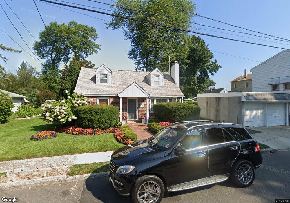
117 Bessida St Unit 121 Bloomfield, NJ 07003
Estimated Value: $533,286 - $643,000
About This Home
This home is located at 117 Bessida St Unit 121, Bloomfield, NJ 07003 and is currently estimated at $580,072, approximately $483 per square foot. 117 Bessida St Unit 121 is a home located in Essex County with nearby schools including Demarest School, Bloomfield Middle School, and Bloomfield High School.
Ownership History
We collect this data history from publicly available records. To have your information removed, we recommend requesting removal directly through your county’s website.
Purchase Details
Purchase Details
Home Values in the Area
Average Home Value in this Area
Purchase History
We collect this data history from publicly available records. To have your information removed, we recommend requesting removal directly through your county’s website.
| Date | Buyer | Sale Price | Title Company |
|---|---|---|---|
| -- | None Available | ||
| $90,000 | -- |
Tax History
We collect this data history from publicly available records. To have your information removed, we recommend requesting removal directly through your county’s website.
| Year | Tax Paid | Tax Assessment Tax Assessment Total Assessment is a certain percentage of the fair market value that is determined by local assessors to be the total taxable value of land and additions on the property. | Land | Improvement |
|---|---|---|---|---|
| 2025 | $11,529 | $339,900 | $142,100 | $197,800 |
| 2024 | $11,108 | $339,900 | $142,100 | $197,800 |
| 2022 | $10,884 | $339,900 | $142,100 | $197,800 |
| 2021 | $10,683 | $339,900 | $142,100 | $197,800 |
| 2020 | $10,520 | $339,900 | $142,100 | $197,800 |
| 2019 | $10,279 | $258,200 | $115,900 | $142,300 |
| 2018 | $10,235 | $258,200 | $115,900 | $142,300 |
| 2017 | $10,080 | $258,200 | $115,900 | $142,300 |
| 2016 | $9,967 | $258,200 | $115,900 | $142,300 |
| 2015 | $9,876 | $258,200 | $115,900 | $142,300 |
| 2014 | $9,695 | $258,200 | $115,900 | $142,300 |
Map
- 21 Fitzherbert St
- 935 Broad St Unit 35B
- 81 Hastings Ave
- 51 Albert Terrace
- 701 Centre St
- 66 Fischer Ave
- 42 Johnson Ave
- 90 Columbia Ave
- 29 Fischer Ave
- 201 Watchung Ave Unit C19
- 26 Fischer Ave
- 18 Hudson St
- 138 Spatz Ave
- 98 Bromley Place
- 1116 Broad St
- 43 Fritz St
- 110 Byrd Ave
- 118 Byrd Ave
- 16 Haines Dr
- 44 Bromley Place
- 128 Bessida St
- 130 Bessida St
- 122 Bessida St
- 10 Douglas St
- 420 Broughton Ave Unit 422
- 420 Broughton Ave Unit 2
- 14 Douglas St
- 424 Broughton Ave Unit 426
- 416 Broughton Ave
- 428 Broughton Ave
- 127 Bessida St
- 123 Bessida St
- 16 Douglas St
- 133 Bessida St
- 137 Bessida St
- 11 Douglas St
- 142 Bessida St
- 139 Bessida St
- 15 Douglas St
- 408 Broughton Ave
Ask me questions while you tour the home.