117 Blackfriars Cir Doylestown, PA 18901
Estimated Value: $409,000 - $465,000
3
Beds
3
Baths
1,364
Sq Ft
$314/Sq Ft
Est. Value
About This Home
This home is located at 117 Blackfriars Cir, Doylestown, PA 18901 and is currently estimated at $428,027, approximately $313 per square foot. 117 Blackfriars Cir is a home located in Bucks County with nearby schools including Groveland Elementary School, Tohickon Middle School, and Central Bucks High School-West.
Ownership History
Date
Name
Owned For
Owner Type
Purchase Details
Closed on
Jan 29, 2025
Sold by
Fairfield Diane E
Bought by
Diane Fairfield Revocable Living Trust
Current Estimated Value
Purchase Details
Closed on
Jan 3, 2014
Sold by
Moffett Michael E
Bought by
Fairfield Diane E
Purchase Details
Closed on
Sep 14, 1994
Sold by
Gph Doylestown 3 Ltd Partnership
Bought by
Moffett Michael E
Home Financials for this Owner
Home Financials are based on the most recent Mortgage that was taken out on this home.
Original Mortgage
$119,610
Interest Rate
8.5%
Create a Home Valuation Report for This Property
The Home Valuation Report is an in-depth analysis detailing your home's value as well as a comparison with similar homes in the area
Home Values in the Area
Average Home Value in this Area
Purchase History
| Date | Buyer | Sale Price | Title Company |
|---|---|---|---|
| Diane Fairfield Revocable Living Trust | -- | None Listed On Document | |
| Fairfield Diane E | $259,000 | None Available | |
| Moffett Michael E | $132,900 | -- |
Source: Public Records
Mortgage History
| Date | Status | Borrower | Loan Amount |
|---|---|---|---|
| Previous Owner | Moffett Michael E | $119,610 |
Source: Public Records
Tax History Compared to Growth
Tax History
| Year | Tax Paid | Tax Assessment Tax Assessment Total Assessment is a certain percentage of the fair market value that is determined by local assessors to be the total taxable value of land and additions on the property. | Land | Improvement |
|---|---|---|---|---|
| 2025 | $4,679 | $26,440 | -- | $26,440 |
| 2024 | $4,679 | $26,440 | $0 | $26,440 |
| 2023 | $4,461 | $26,440 | $0 | $26,440 |
| 2022 | $4,412 | $26,440 | $0 | $26,440 |
| 2021 | $4,321 | $26,440 | $0 | $26,440 |
| 2020 | $4,301 | $26,440 | $0 | $26,440 |
| 2019 | $4,255 | $26,440 | $0 | $26,440 |
| 2018 | $4,242 | $26,440 | $0 | $26,440 |
| 2017 | $4,209 | $26,440 | $0 | $26,440 |
| 2016 | $4,182 | $26,440 | $0 | $26,440 |
| 2015 | -- | $26,440 | $0 | $26,440 |
| 2014 | -- | $26,440 | $0 | $26,440 |
Source: Public Records
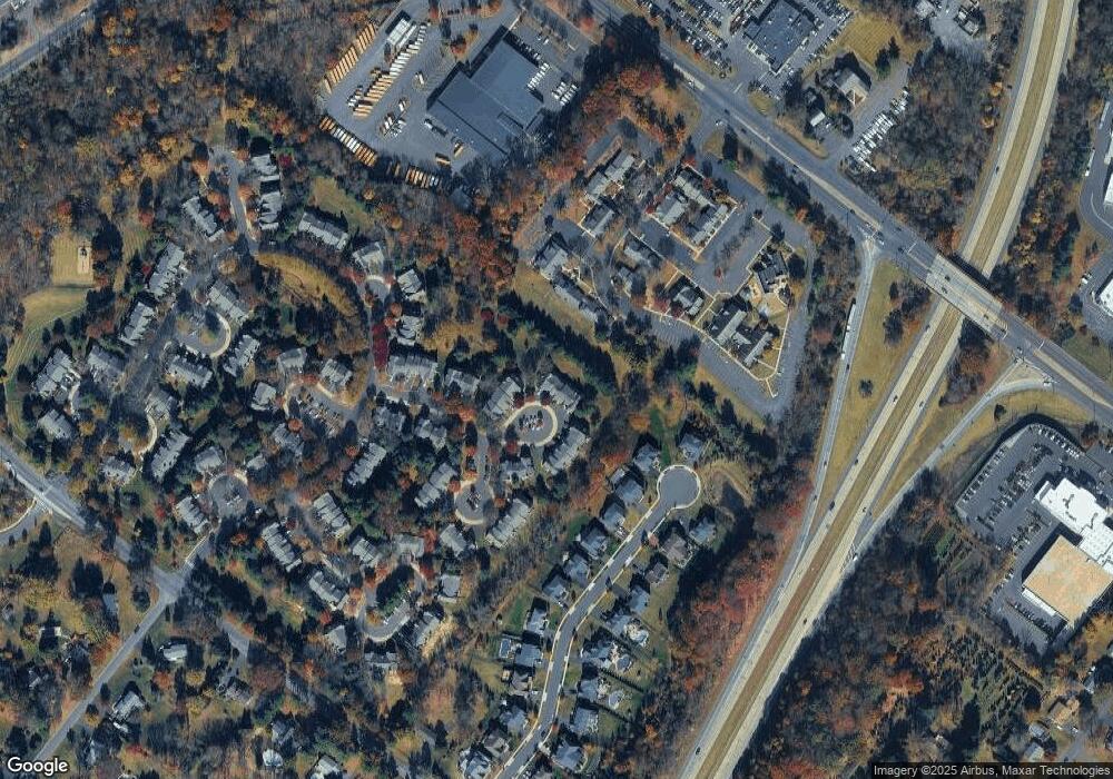
Map
Nearby Homes
- 114 Blackfriars Cir
- 100 Bishops Gate Ln Unit 67
- 194 Victoria Ct Unit 143
- 301 Windy Run Rd
- 3600 Jacob Stout Rd Unit 3
- 3723 William Daves Rd
- 3765 William Daves Rd
- 3711 Jacob Stout Rd Unit 5
- 4748 Bishop Cir
- 3838 Jacob Stout Rd
- 90 Chapman Ave
- 418 North St
- 3923 Ferry Rd
- 1 Gatehouse Ln
- 333 Dorset Ct Unit 333
- 169 N Main St
- 146 N Church St
- 121 Cottage St
- 4 Old Colonial Dr Unit 254
- 143 Myers Dr
- 117 Blackfriars Cir Unit 84
- 118 Blackfriars Cir Unit 85
- 116 Blackfriars Cir Unit 83
- 119 Blackfriars Cir Unit 86
- 115 Blackfriars Cir Unit 82
- 120 Blackfriars Cir Unit 87
- 113 Blackfriars Cir Unit 80
- 121 Blackfriars Cir Unit 88
- 112 Blackfriars Cir Unit 79
- 122 Blackfriars Cir Unit 89
- 123 Blackfriars Cir Unit 90
- 111 Blackfriars Cir
- 124 Blackfriars Cir Unit 91
- 110 Blackfriars Cir Unit 77
- 126 Blackfriars Cir Unit 93
- 125 Blackfriars Cir Unit 92
- 127 Blackfriars Cir Unit 94
- 128 Blackfriars Cir Unit 95
- 108 Bishops Gate Ln Unit 75
- 129 Blackfriars Cir Unit 96