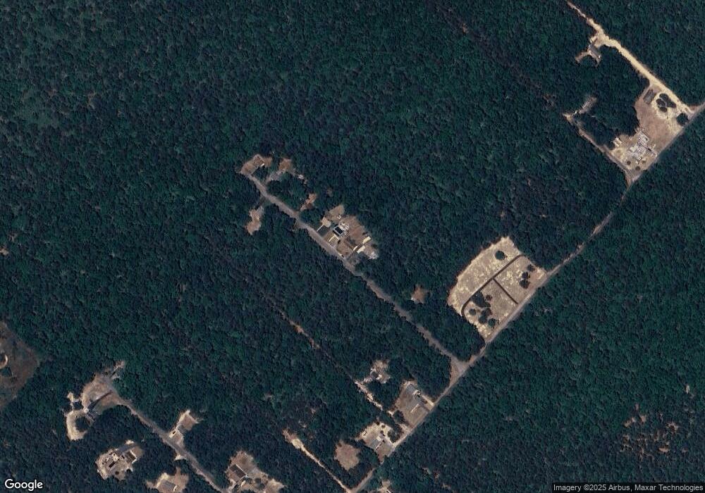
117 Boxwood Rd Mays Landing, NJ 08330
Estimated Value: $225,003 - $304,000
--
Bed
--
Bath
1,248
Sq Ft
$218/Sq Ft
Est. Value
About This Home
This home is located at 117 Boxwood Rd, Mays Landing, NJ 08330 and is currently estimated at $271,751, approximately $217 per square foot. 117 Boxwood Rd is a home with nearby schools including Buena Regional Middle School and Buena Regional High School.
Ownership History
Date
Name
Owned For
Owner Type
Purchase Details
Closed on
Dec 22, 2004
Sold by
Henderson Charlotte
Bought by
Henderson Robert
Current Estimated Value
Home Financials for this Owner
Home Financials are based on the most recent Mortgage that was taken out on this home.
Original Mortgage
$84,550
Outstanding Balance
$42,399
Interest Rate
5.75%
Mortgage Type
Purchase Money Mortgage
Estimated Equity
$229,352
Purchase Details
Closed on
Jul 19, 2004
Sold by
Township Buena Vista
Bought by
Nunuville Robert and Nuneville Donna
Create a Home Valuation Report for This Property
The Home Valuation Report is an in-depth analysis detailing your home's value as well as a comparison with similar homes in the area
Home Values in the Area
Average Home Value in this Area
Purchase History
| Date | Buyer | Sale Price | Title Company |
|---|---|---|---|
| Henderson Robert | $95,000 | -- | |
| Henderson Robert | $95,000 | -- | |
| Henderson Robert | $95,000 | -- | |
| Nunuville Robert | $2,000 | -- |
Source: Public Records
Mortgage History
| Date | Status | Borrower | Loan Amount |
|---|---|---|---|
| Open | Henderson Robert | $84,550 | |
| Closed | Henderson Robert | $109,450 | |
| Closed | Henderson Robert | $84,550 |
Source: Public Records
Tax History Compared to Growth
Tax History
| Year | Tax Paid | Tax Assessment Tax Assessment Total Assessment is a certain percentage of the fair market value that is determined by local assessors to be the total taxable value of land and additions on the property. | Land | Improvement |
|---|---|---|---|---|
| 2025 | $5,285 | $172,700 | $51,000 | $121,700 |
| 2024 | $5,285 | $172,700 | $51,000 | $121,700 |
| 2023 | $5,098 | $172,700 | $51,000 | $121,700 |
| 2022 | $5,098 | $172,700 | $51,000 | $121,700 |
| 2021 | $4,989 | $172,700 | $51,000 | $121,700 |
| 2020 | $4,832 | $172,700 | $51,000 | $121,700 |
| 2019 | $4,556 | $172,700 | $51,000 | $121,700 |
| 2018 | $4,514 | $172,700 | $51,000 | $121,700 |
| 2017 | $4,475 | $172,700 | $51,000 | $121,700 |
| 2016 | $4,324 | $172,700 | $51,000 | $121,700 |
| 2015 | $4,242 | $172,700 | $51,000 | $121,700 |
| 2014 | $4,219 | $172,700 | $51,000 | $121,700 |
Source: Public Records
Map
Nearby Homes
- 119 Boxwood Rd
- 451 9th St
- 720 6th Rd
- 2212 Evergreen Dr
- 2216 Evergreen Dr
- 1307 Black Horse Pike
- 7684 E Black Horse Pike
- 0 9th St Unit 600946
- 7640 Black Horse Pike
- 1206 Black Horse Park
- 00 11th St
- 7640 Black Horse Pike
- 205 Bernadette Ln Unit BUENA VISTA TWP.
- 205 Bernadette Ln
- 0 11th St Unit NJAC2020504
- 7571 Strand Ave
- 1528 Mays Landing Rd
- 523 6th Rd
- 1021 Route 54
- 7491 Smith Ave
