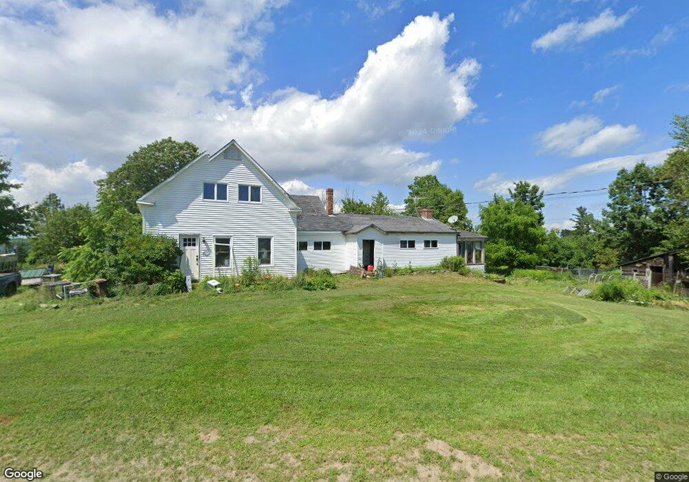
117 Brock Rd Searsport, ME 04974
Estimated Value: $232,000 - $483,000
--
Bed
--
Bath
--
Sq Ft
39
Acres
About This Home
This home is located at 117 Brock Rd, Searsport, ME 04974 and is currently estimated at $337,464. 117 Brock Rd is a home.
Ownership History
Date
Name
Owned For
Owner Type
Purchase Details
Closed on
Dec 19, 2018
Sold by
Work Megan J and Work Jason
Bought by
Strickland Kenneth and Strickland Kathleen
Current Estimated Value
Purchase Details
Closed on
Oct 23, 2015
Sold by
Strickland Kathleen and Strickland Kenneth A
Bought by
Work Megan J and Work Jason
Purchase Details
Closed on
Sep 7, 2012
Sold by
Strickland Ramona A
Bought by
Strickland Kenneth A and Strickland Kathleen
Create a Home Valuation Report for This Property
The Home Valuation Report is an in-depth analysis detailing your home's value as well as a comparison with similar homes in the area
Home Values in the Area
Average Home Value in this Area
Purchase History
| Date | Buyer | Sale Price | Title Company |
|---|---|---|---|
| Strickland Kenneth | -- | -- | |
| Strickland Kenneth | -- | -- | |
| Work Megan J | -- | -- | |
| Strickland Kenneth A | -- | -- |
Source: Public Records
Tax History Compared to Growth
Tax History
| Year | Tax Paid | Tax Assessment Tax Assessment Total Assessment is a certain percentage of the fair market value that is determined by local assessors to be the total taxable value of land and additions on the property. | Land | Improvement |
|---|---|---|---|---|
| 2024 | $4,411 | $192,600 | $52,300 | $140,300 |
| 2023 | $3,891 | $192,600 | $52,300 | $140,300 |
| 2022 | $3,717 | $192,600 | $52,300 | $140,300 |
| 2021 | $3,640 | $192,600 | $52,300 | $140,300 |
| 2020 | $3,602 | $192,600 | $52,300 | $140,300 |
| 2019 | $119 | $192,600 | $52,300 | $140,300 |
| 2018 | $119 | $214,100 | $73,800 | $140,300 |
| 2017 | $2,991 | $123,600 | $46,400 | $77,200 |
| 2016 | $273 | $123,600 | $46,400 | $77,200 |
| 2015 | $2,929 | $123,600 | $46,400 | $77,200 |
| 2014 | $2,806 | $123,600 | $46,400 | $77,200 |
| 2013 | $2,657 | $123,600 | $46,400 | $77,200 |
Source: Public Records
Map
Nearby Homes
- 73 Heritage Dr
- Lot 69 Campground Rd
- 4 Bowen Rd
- 177 Mount Ephraim Rd
- 00 Back Searsport Rd
- 468 Curtis Rd
- 461 Curtis Rd
- 395 Mount Ephraim Rd
- 6 Otis St
- 21 Knox Bros Ave
- 3 Mossy Ridge Rd
- 10 Mosman St
- 37 & 39 E Main St
- M3L28-A Savery Rd
- 00 Elm St
- 15 Norris St
- 71 E Main St
- 10 Serenity Ln
- 235 Swan Lake Ave
- 90 E Main St