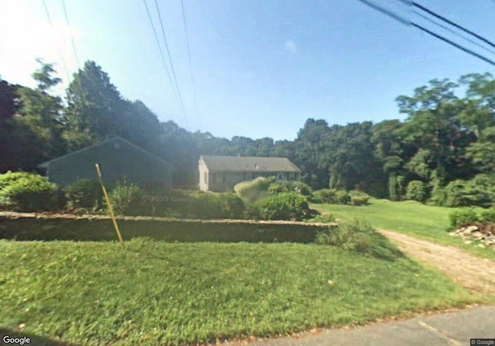
117 Brook St Rehoboth, MA 02769
Estimated Value: $531,404 - $607,000
4
Beds
2
Baths
2,184
Sq Ft
$259/Sq Ft
Est. Value
About This Home
This home is located at 117 Brook St, Rehoboth, MA 02769 and is currently estimated at $564,851, approximately $258 per square foot. 117 Brook St is a home located in Bristol County with nearby schools including Dighton-Rehoboth Regional High School and Cedar Brook School.
Ownership History
Date
Name
Owned For
Owner Type
Purchase Details
Closed on
Nov 2, 2012
Sold by
Leach Steven L and Leach Gloria M
Bought by
Leach Steven L
Current Estimated Value
Home Financials for this Owner
Home Financials are based on the most recent Mortgage that was taken out on this home.
Original Mortgage
$162,000
Outstanding Balance
$111,727
Interest Rate
3.5%
Mortgage Type
New Conventional
Estimated Equity
$453,124
Purchase Details
Closed on
Jan 23, 1984
Bought by
Leach Steven L
Create a Home Valuation Report for This Property
The Home Valuation Report is an in-depth analysis detailing your home's value as well as a comparison with similar homes in the area
Home Values in the Area
Average Home Value in this Area
Purchase History
| Date | Buyer | Sale Price | Title Company |
|---|---|---|---|
| Leach Steven L | -- | -- | |
| Leach Steven L | -- | -- |
Source: Public Records
Mortgage History
| Date | Status | Borrower | Loan Amount |
|---|---|---|---|
| Open | Leach Steven L | $162,000 | |
| Previous Owner | Leach Steven L | $103,000 | |
| Previous Owner | Leach Steven L | $96,000 | |
| Previous Owner | Leach Steven L | $80,000 |
Source: Public Records
Tax History
| Year | Tax Paid | Tax Assessment Tax Assessment Total Assessment is a certain percentage of the fair market value that is determined by local assessors to be the total taxable value of land and additions on the property. | Land | Improvement |
|---|---|---|---|---|
| 2025 | $45 | $400,000 | $190,300 | $209,700 |
| 2024 | $4,397 | $387,100 | $190,300 | $196,800 |
| 2023 | $4,303 | $371,600 | $186,300 | $185,300 |
| 2022 | $4,309 | $340,100 | $177,900 | $162,200 |
| 2021 | $4,090 | $308,900 | $161,600 | $147,300 |
| 2020 | $3,916 | $298,500 | $161,600 | $136,900 |
| 2018 | $3,499 | $292,300 | $153,800 | $138,500 |
| 2017 | $0 | $264,400 | $153,800 | $110,600 |
| 2016 | $3,250 | $267,500 | $153,800 | $113,700 |
| 2015 | $3,021 | $245,400 | $146,600 | $98,800 |
| 2014 | $2,963 | $238,200 | $139,400 | $98,800 |
Source: Public Records
Map
Nearby Homes
- 197 Chestnut St
- 42 Linden Ln
- 8 Linden Ln
- 8 Linden Ln
- 25 Columbine Rd
- 185 Moulton St
- 75 Martin St
- 67 Martin St
- 0 Winter St
- 46 Mikayla Ann Dr
- 129 Cameron Way
- 3a Johnnies Way
- 3b Johnnies Way
- 3 Johnnies Way
- 20 School St
- 203 Providence St Bldr Lot 5
- 205 Providence St Bldr Lot 3
- 16 Martin St
- 111 Summer St
- 0 Wheaton Ave
- 246 Chestnut St
- 248 Chestnut St Unit 252
- 242 Chestnut St
- 247 Chestnut St
- 243 Chestnut St
- 249 Chestnut St
- 238 Chestnut St
- 122 Brook St
- 107 Brook St
- Lot 49 Brook St
- 255 Chestnut St
- 253 Chestnut St
- 253 Chestnut St Unit RIGHT
- 253 Chestnut St Unit LEFT
- 253 Chestnut St
- 236 Chestnut St
- 125 Brook St
- 126 Brook St
- 258 Chestnut St
- 23 Calisto Dr
Your Personal Tour Guide
Ask me questions while you tour the home.