117 Cassandra Ln Winlock, WA 98596
Estimated Value: $455,000 - $662,000
3
Beds
2
Baths
1,506
Sq Ft
$358/Sq Ft
Est. Value
About This Home
This home is located at 117 Cassandra Ln, Winlock, WA 98596 and is currently estimated at $538,704, approximately $357 per square foot. 117 Cassandra Ln is a home located in Lewis County with nearby schools including Evaline Elementary School.
Ownership History
Date
Name
Owned For
Owner Type
Purchase Details
Closed on
Jul 20, 2005
Sold by
Wintermute Gerald and Wintermute Joy
Bought by
Ambeau William L and Ambeau Mickey A
Current Estimated Value
Home Financials for this Owner
Home Financials are based on the most recent Mortgage that was taken out on this home.
Original Mortgage
$149,000
Outstanding Balance
$77,025
Interest Rate
5.51%
Mortgage Type
New Conventional
Estimated Equity
$461,679
Create a Home Valuation Report for This Property
The Home Valuation Report is an in-depth analysis detailing your home's value as well as a comparison with similar homes in the area
Purchase History
| Date | Buyer | Sale Price | Title Company |
|---|---|---|---|
| Ambeau William L | -- | None Available |
Source: Public Records
Mortgage History
| Date | Status | Borrower | Loan Amount |
|---|---|---|---|
| Open | Ambeau William L | $149,000 |
Source: Public Records
Tax History
| Year | Tax Paid | Tax Assessment Tax Assessment Total Assessment is a certain percentage of the fair market value that is determined by local assessors to be the total taxable value of land and additions on the property. | Land | Improvement |
|---|---|---|---|---|
| 2024 | $2,789 | $399,300 | $96,100 | $303,200 |
| 2023 | $2,418 | $369,500 | $78,500 | $291,000 |
| 2022 | $2,138 | $278,500 | $54,900 | $223,600 |
| 2021 | $2,115 | $278,500 | $54,900 | $223,600 |
| 2020 | $2,099 | $249,900 | $49,500 | $200,400 |
| 2019 | $1,784 | $230,700 | $44,000 | $186,700 |
| 2018 | $1,565 | $193,500 | $32,500 | $161,000 |
| 2017 | $1,571 | $176,600 | $32,500 | $144,100 |
Source: Public Records
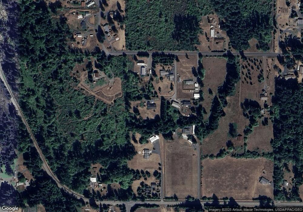
Map
Nearby Homes
- 118 Quary Ln
- 299 Conrad Rd
- 284 W Hale Rd
- 564 W Avery Rd
- 1962 Old Highway 603
- 133 Silverthistle Rd
- 131 Silverthistle Rd
- 450 Hawkins Rd
- 126 Bethany Ln
- 105 Johnson Rd N
- 112 Topaz Ct
- 380 Hawkins Rd
- 523 Haywire Rd
- 457 Antrim Rd
- 0 LOT 5 Nelson Rd
- 0 Lot 6 Nelson Rd
- 120 Woodberry Ln
- 213 Nelson Rd
- 283 Tennessee Rd
- 254 Parkside Loop
- 214 Pleasant Valley Rd Unit 12
- 214 Pleasant Valley Rd
- 104 Cassandra Ln
- 771 W Avery Rd
- 113 Cassandra Ln
- 214 Pleasant Valley Rd
- 202 Pleasant Valley Rd
- 767 Avery Rd W
- 793 Avery Rd W
- 788 W Avery Rd
- 238 Pleasant Valley Rd
- 104 Markum Ln
- 744 Avery Rd W
- 741 Avery Rd W
- 115 Markum Ln
- 746 Tennessee Rd
- 782 5 Avery Rd
- 184 Pleasant Valley Rd
- 255 Pleasant Valley Rd
- 737 Tennessee Rd
Your Personal Tour Guide
Ask me questions while you tour the home.