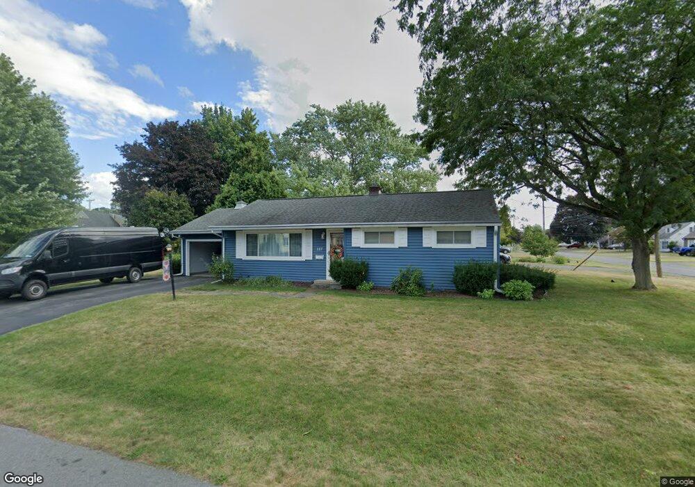
117 Castle Rd Unit 19 Syracuse, NY 13212
Estimated Value: $99,000 - $136,294
6
Beds
2
Baths
2,452
Sq Ft
$48/Sq Ft
Est. Value
About This Home
This home is located at 117 Castle Rd Unit 19, Syracuse, NY 13212 and is currently estimated at $117,574, approximately $47 per square foot. 117 Castle Rd Unit 19 is a home located in Onondaga County with nearby schools including North Syracuse Junior High School, Cicero North Syracuse High School, and Little Lamb Christian School.
Ownership History
Date
Name
Owned For
Owner Type
Purchase Details
Closed on
Oct 16, 2001
Sold by
Hosheshi Abdo M
Bought by
Hosheshi Mohammad
Current Estimated Value
Create a Home Valuation Report for This Property
The Home Valuation Report is an in-depth analysis detailing your home's value as well as a comparison with similar homes in the area
Home Values in the Area
Average Home Value in this Area
Purchase History
| Date | Buyer | Sale Price | Title Company |
|---|---|---|---|
| Hosheshi Mohammad | -- | Mark Wasmund |
Source: Public Records
Tax History Compared to Growth
Tax History
| Year | Tax Paid | Tax Assessment Tax Assessment Total Assessment is a certain percentage of the fair market value that is determined by local assessors to be the total taxable value of land and additions on the property. | Land | Improvement |
|---|---|---|---|---|
| 2024 | -- | $45,000 | $3,400 | $41,600 |
| 2023 | $1,064 | $35,000 | $3,400 | $31,600 |
| 2022 | $1,093 | $35,000 | $3,400 | $31,600 |
| 2021 | $1,093 | $35,000 | $3,400 | $31,600 |
| 2020 | $1,158 | $35,000 | $3,400 | $31,600 |
| 2019 | $2,194 | $39,000 | $3,400 | $35,600 |
| 2018 | $1,149 | $39,000 | $3,400 | $35,600 |
| 2017 | $1,096 | $39,000 | $3,400 | $35,600 |
| 2016 | $1,108 | $39,000 | $3,400 | $35,600 |
| 2015 | -- | $39,000 | $3,400 | $35,600 |
| 2014 | -- | $39,000 | $3,400 | $35,600 |
Source: Public Records
Map
Nearby Homes
- 107 Rogers Ln
- 206 Allen Rd
- 102 Waterbury Dr
- 407 Fletcher Dr
- 105 Rebecca St
- 5039 Briarledge Rd
- 214 Baxton St
- 223 Lawdon St
- 123 Fay Park Dr
- 24 Memory Ln
- 230 Crestwood Dr
- 0 Buckley Rd
- 307 Herman Dr
- 117 Red Barn Cir
- 17 Bevell Ln
- 216 Crestwood Dr
- 7369 Cedar Post Rd
- 401 Wells Ave W
- 112 Armitage Dr
- 202 Hyland Dr