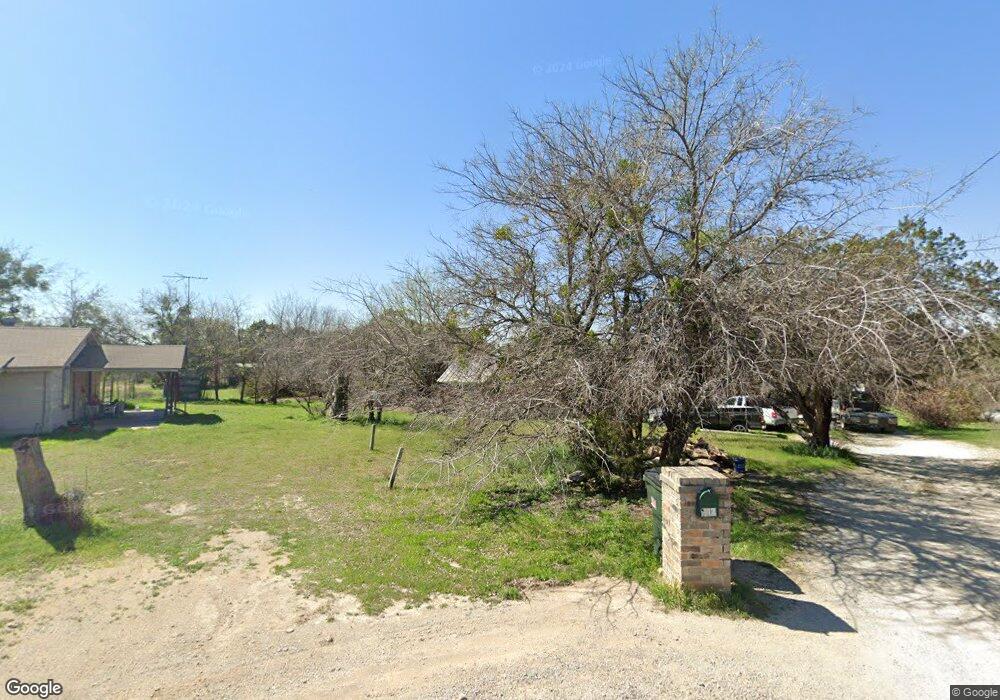
117 Cedar Rd Weatherford, TX 76087
Estimated Value: $252,006 - $383,000
--
Bed
--
Bath
1,248
Sq Ft
$239/Sq Ft
Est. Value
About This Home
This home is located at 117 Cedar Rd, Weatherford, TX 76087 and is currently estimated at $298,502, approximately $239 per square foot. 117 Cedar Rd is a home located in Parker County with nearby schools including Curtis Elementary School, Hall Middle School, and Weatherford High School.
Ownership History
Date
Name
Owned For
Owner Type
Purchase Details
Closed on
Mar 4, 2004
Sold by
Lorenzo Rosalio and Lorenzo Dmr
Bought by
Arriaga Juan and Arriaga Claudia
Current Estimated Value
Purchase Details
Closed on
Aug 19, 1998
Bought by
Arriaga Juan and Arriaga Claudia
Purchase Details
Closed on
May 6, 1997
Bought by
Arriaga Juan and Arriaga Claudia
Purchase Details
Closed on
Sep 21, 1994
Bought by
Arriaga Juan and Arriaga Claudia
Purchase Details
Closed on
Dec 31, 1985
Bought by
Arriaga Juan and Arriaga Claudia
Create a Home Valuation Report for This Property
The Home Valuation Report is an in-depth analysis detailing your home's value as well as a comparison with similar homes in the area
Home Values in the Area
Average Home Value in this Area
Purchase History
| Date | Buyer | Sale Price | Title Company |
|---|---|---|---|
| Arriaga Juan | -- | -- | |
| Arriaga Juan | -- | -- | |
| Arriaga Juan | -- | -- | |
| Arriaga Juan | -- | -- | |
| Arriaga Juan | -- | -- |
Source: Public Records
Tax History Compared to Growth
Tax History
| Year | Tax Paid | Tax Assessment Tax Assessment Total Assessment is a certain percentage of the fair market value that is determined by local assessors to be the total taxable value of land and additions on the property. | Land | Improvement |
|---|---|---|---|---|
| 2025 | $1,127 | $146,676 | -- | -- |
| 2024 | $1,127 | $133,342 | -- | -- |
| 2023 | $1,127 | $121,220 | $0 | $0 |
| 2022 | $2,050 | $112,910 | $66,510 | $46,400 |
| 2021 | $2,017 | $112,910 | $66,510 | $46,400 |
| 2020 | $1,843 | $93,490 | $55,320 | $38,170 |
| 2019 | $1,785 | $93,490 | $55,320 | $38,170 |
| 2018 | $1,637 | $85,220 | $44,770 | $40,450 |
| 2017 | $1,519 | $85,220 | $44,770 | $40,450 |
| 2016 | $1,381 | $62,210 | $30,950 | $31,260 |
| 2015 | $983 | $62,210 | $30,950 | $31,260 |
| 2014 | $999 | $56,910 | $30,950 | $25,960 |
Source: Public Records
Map
Nearby Homes
- 191 Wildflower Trail
- 4819 Horseshoe Dr
- 413 Lakeview Trail
- 112 Pioneer Trail
- 4640 Tin Top Rd
- 329 Longhorn Trail
- 246 Comanche Trail
- 190 Mesquite Trail
- 2045 Sunset Ridge Dr
- 147 Western Lake Dr
- 3016 Infinity Dr
- 340 Western Lake Dr
- TBD Western Lake Dr
- 2067 Sunset Ridge Dr
- 2008 Walter Joseph Way
- 1000 Elevation Trail
- 241 Western Lake Dr
- 428 Mesquite Trail
- 4948 Cimmaron Trail
- 0000 Walter Joseph Way