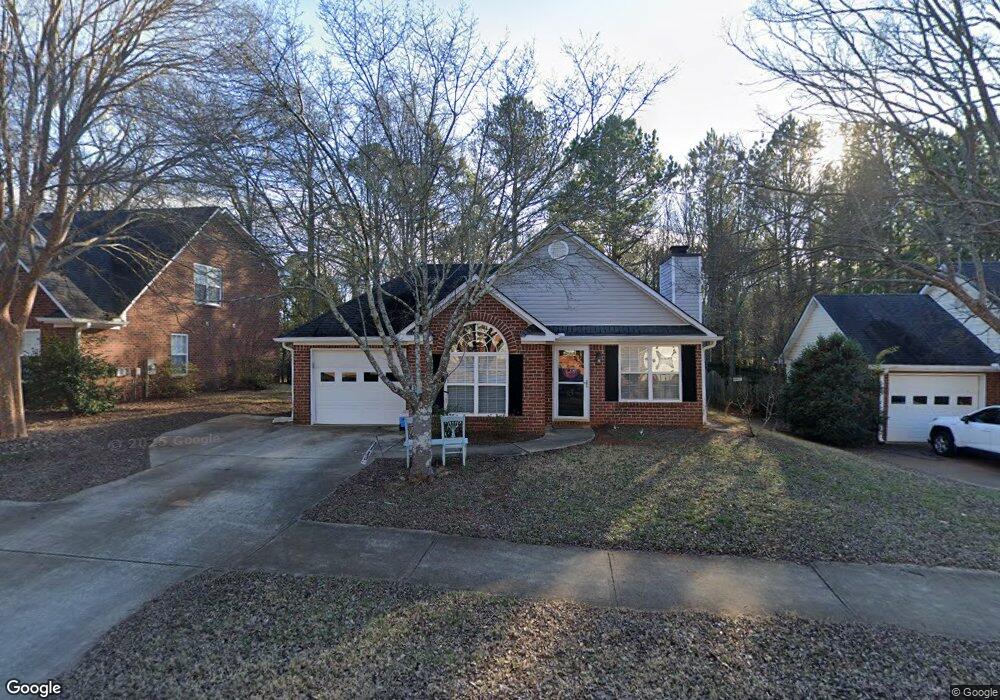
117 Cedar Rock Trace Athens, GA 30605
Estimated Value: $288,149 - $319,000
--
Bed
--
Bath
1,205
Sq Ft
$254/Sq Ft
Est. Value
About This Home
This home is located at 117 Cedar Rock Trace, Athens, GA 30605 and is currently estimated at $306,037, approximately $253 per square foot. 117 Cedar Rock Trace is a home located in Clarke County with nearby schools including Barnett Shoals Elementary School, Hilsman Middle School, and Cedar Shoals High School.
Ownership History
Date
Name
Owned For
Owner Type
Purchase Details
Closed on
Jan 6, 2006
Sold by
Not Provided
Bought by
Armada
Current Estimated Value
Purchase Details
Closed on
May 25, 2005
Sold by
Hoover Amanda
Bought by
Dolezal Timothy and Dolezal Mavis
Purchase Details
Closed on
Jun 27, 2002
Sold by
Live Oak Communities Llc
Bought by
Hoover Amanda
Purchase Details
Closed on
Apr 24, 2001
Sold by
Pinecrest Community Llc
Bought by
Live Oak Communities Llc
Create a Home Valuation Report for This Property
The Home Valuation Report is an in-depth analysis detailing your home's value as well as a comparison with similar homes in the area
Home Values in the Area
Average Home Value in this Area
Purchase History
| Date | Buyer | Sale Price | Title Company |
|---|---|---|---|
| Armada | -- | -- | |
| Dolezal Timothy | $124,000 | -- | |
| Hoover Amanda | $112,500 | -- | |
| Live Oak Communities Llc | $20,000 | -- |
Source: Public Records
Tax History Compared to Growth
Tax History
| Year | Tax Paid | Tax Assessment Tax Assessment Total Assessment is a certain percentage of the fair market value that is determined by local assessors to be the total taxable value of land and additions on the property. | Land | Improvement |
|---|---|---|---|---|
| 2025 | $3,538 | $113,944 | $12,000 | $101,944 |
| 2024 | $3,538 | $104,413 | $12,000 | $92,413 |
| 2023 | $3,263 | $97,580 | $12,000 | $85,580 |
| 2022 | $2,695 | $84,495 | $10,400 | $74,095 |
| 2021 | $2,401 | $71,244 | $10,400 | $60,844 |
| 2020 | $2,235 | $66,328 | $10,400 | $55,928 |
| 2019 | $1,986 | $58,504 | $10,400 | $48,104 |
| 2018 | $1,942 | $57,199 | $10,400 | $46,799 |
| 2017 | $1,855 | $54,644 | $10,400 | $44,244 |
| 2016 | $1,647 | $48,509 | $10,400 | $38,109 |
| 2015 | $1,639 | $48,191 | $10,400 | $37,791 |
| 2014 | $1,511 | $44,362 | $10,400 | $33,962 |
Source: Public Records
Map
Nearby Homes
- 121 Cedar Rock Trace
- 113 Cedar Rock Trace
- 125 Cedar Rock Trace
- 116 Cedar Rock Trace
- 120 Cedar Rock Trace
- 112 Cedar Rock Trace
- 129 Cedar Rock Trace
- 124 Cedar Rock Trace
- 128 Cedar Rock Trace
- 133 Cedar Rock Trace
- 111 Birch Valley Dr
- 121 Birch Valley Dr
- 132 Cedar Rock Trace
- 130 Whitehall Rd Unit ID1302858P
- 130 Whitehall Rd Unit ID1247992P
- 130 Whitehall Rd
- 131 Birch Valley Dr
- 136 Cedar Rock Trace
- 141 Birch Valley Dr
- 110 Birch Valley Dr