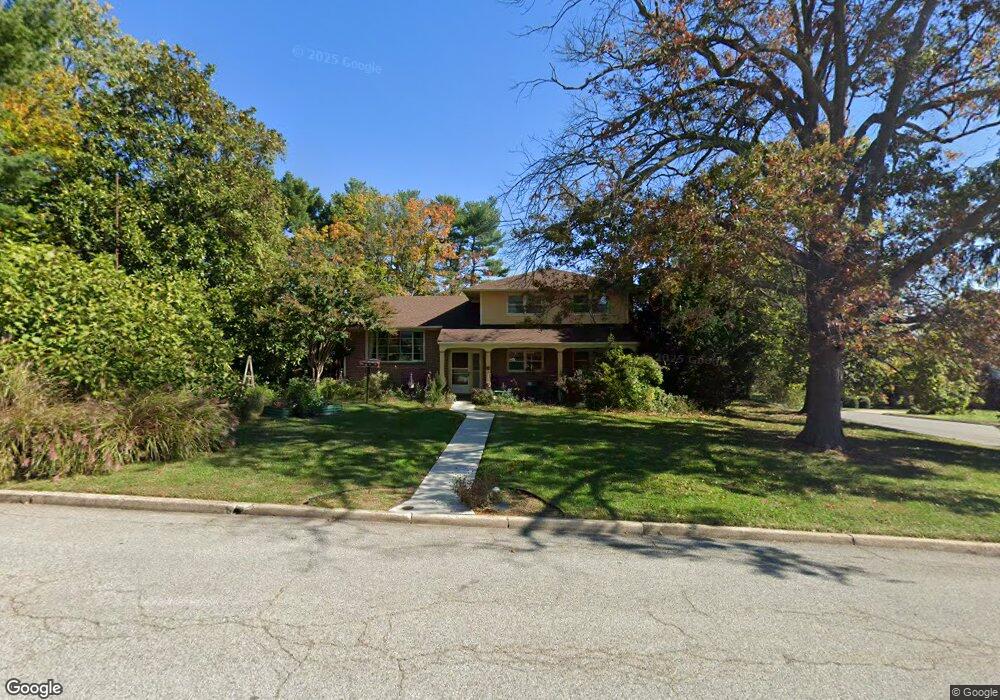
117 Cedar St Chestertown, MD 21620
Estimated Value: $440,000 - $477,000
3
Beds
3
Baths
2,064
Sq Ft
$223/Sq Ft
Est. Value
About This Home
This home is located at 117 Cedar St, Chestertown, MD 21620 and is currently estimated at $459,354, approximately $222 per square foot. 117 Cedar St is a home located in Kent County with nearby schools including Center for Innovation, Kent County Middle School, and Kent County High School.
Ownership History
Date
Name
Owned For
Owner Type
Purchase Details
Closed on
May 1, 2009
Sold by
Wakeley Morris David
Bought by
Dawson Nevin S
Current Estimated Value
Purchase Details
Closed on
Mar 30, 2001
Sold by
Stoddard David H
Bought by
Wakeley Morris David and Leslie Ann Sherman Wakeley
Purchase Details
Closed on
Feb 28, 1994
Sold by
Wirtz Richard G and Wirtz Colleen L
Bought by
Stoddard David H
Create a Home Valuation Report for This Property
The Home Valuation Report is an in-depth analysis detailing your home's value as well as a comparison with similar homes in the area
Home Values in the Area
Average Home Value in this Area
Purchase History
| Date | Buyer | Sale Price | Title Company |
|---|---|---|---|
| Dawson Nevin S | $235,000 | -- | |
| Wakeley Morris David | $148,000 | -- | |
| Stoddard David H | $147,500 | -- |
Source: Public Records
Tax History Compared to Growth
Tax History
| Year | Tax Paid | Tax Assessment Tax Assessment Total Assessment is a certain percentage of the fair market value that is determined by local assessors to be the total taxable value of land and additions on the property. | Land | Improvement |
|---|---|---|---|---|
| 2025 | $6,128 | $391,000 | $92,900 | $298,100 |
| 2024 | $4,327 | $276,100 | $0 | $0 |
| 2023 | $4,136 | $263,900 | $0 | $0 |
| 2022 | $3,919 | $251,700 | $92,900 | $158,800 |
| 2021 | $3,916 | $250,800 | $0 | $0 |
| 2020 | $3,916 | $249,900 | $0 | $0 |
| 2019 | $3,894 | $249,000 | $102,900 | $146,100 |
| 2018 | $3,866 | $248,767 | $0 | $0 |
| 2017 | $3,738 | $248,533 | $0 | $0 |
| 2016 | -- | $248,300 | $0 | $0 |
| 2015 | $3,383 | $240,500 | $0 | $0 |
| 2014 | $3,383 | $232,700 | $0 | $0 |
Source: Public Records
Map
Nearby Homes
- 411 Greenwood Ave
- 0 Elm St Unit MDKE2003590
- 204 Rolling Rd
- 206 Valley Rd
- 304 Hadaway Dr
- 3 Haacke Dr
- 303 E Campus Ave
- 109 Metcalfe Rd
- 103 Metcalf Rd
- 112 Metcalf Rd
- 100 Metcalf Rd
- 108 Flying Cloud Dr
- 112 Silver Heel Dr
- 222 Mount Vernon Ave
- 2 Scheeler Rd
- 200 Washington Ave
- 141 Prospect St
- 234 N College Ave
- 107 Malone Ave
- 423 Calvert St