Estimated Value: $169,000 - $261,000
--
Bed
2
Baths
1,612
Sq Ft
$131/Sq Ft
Est. Value
About This Home
This home is located at 117 Cheyenne Ct N, Jesup, GA 31545 and is currently estimated at $210,539, approximately $130 per square foot. 117 Cheyenne Ct N is a home located in Wayne County with nearby schools including Bacon Elementary School, Martha Puckett Middle School, and Wayne County High School.
Ownership History
Date
Name
Owned For
Owner Type
Purchase Details
Closed on
Aug 15, 2014
Sold by
Green Tree Servicing Llc
Bought by
Anderson Earl L and Weaver Barbara A
Current Estimated Value
Home Financials for this Owner
Home Financials are based on the most recent Mortgage that was taken out on this home.
Original Mortgage
$210,135
Outstanding Balance
$160,765
Interest Rate
4.2%
Mortgage Type
New Conventional
Estimated Equity
$49,774
Purchase Details
Closed on
Dec 3, 2013
Sold by
Bennett Crissie
Bought by
Green Tree Servicing Llc
Create a Home Valuation Report for This Property
The Home Valuation Report is an in-depth analysis detailing your home's value as well as a comparison with similar homes in the area
Home Values in the Area
Average Home Value in this Area
Purchase History
| Date | Buyer | Sale Price | Title Company |
|---|---|---|---|
| Anderson Earl L | $79,380 | -- | |
| Green Tree Servicing Llc | $94,000 | -- | |
| Green Tree Servicing Llc | $94,000 | -- |
Source: Public Records
Mortgage History
| Date | Status | Borrower | Loan Amount |
|---|---|---|---|
| Open | Anderson Earl L | $210,135 |
Source: Public Records
Tax History Compared to Growth
Tax History
| Year | Tax Paid | Tax Assessment Tax Assessment Total Assessment is a certain percentage of the fair market value that is determined by local assessors to be the total taxable value of land and additions on the property. | Land | Improvement |
|---|---|---|---|---|
| 2024 | $2,043 | $77,133 | $4,040 | $73,093 |
| 2023 | $1,321 | $44,044 | $3,030 | $41,014 |
| 2022 | $1,387 | $44,044 | $3,030 | $41,014 |
| 2021 | $1,485 | $44,044 | $3,030 | $41,014 |
| 2020 | $1,537 | $44,044 | $3,030 | $41,014 |
| 2019 | $1,582 | $44,044 | $3,030 | $41,014 |
| 2018 | $65 | $44,044 | $3,030 | $41,014 |
| 2017 | $1,362 | $44,044 | $3,030 | $41,014 |
Source: Public Records
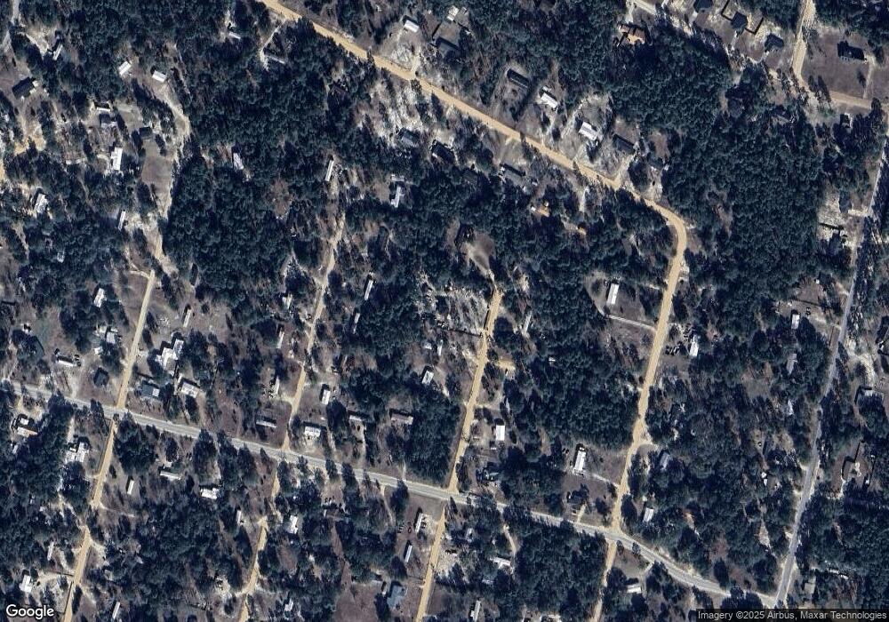
Map
Nearby Homes
- 195 Linden Dr
- 650 Linden Dr
- 260 Linden Dr
- 837 Bluff Rd
- 450 Bluff Rd
- 106 Rodman Rd
- 931 River Ridge Cir
- 149 Transit Rd
- 290 Rodman Rd
- 404 River Ridge Cir
- 391 Rodman Rd
- 161 Evors Rd
- 629 Sierra Rd
- 0000 Lakeview Dr
- 00 Lakeview Dr
- 0 Golf Rd
- 0 Shrine Club Rd Unit 163602
- 50 Sangster Rd
- 24 Sangster Rd
- 0 Aspen Rd
- 75 Cheyenne Ct N
- 102 Cheyenne Ct N
- 74 Cheyenne Ct N
- 411 Osceola Trail N
- 103 Kiowa Dr N
- 50 S Cheyenne Ct
- 310 Seminole Woods Dr
- 75 Kiowa Dr S
- 161 Osceola Trail N
- 226 Seminole Woods Dr
- 316 Osceola Trail N
- 24 Cheyenne Ct S
- N Osceola Trail N
- 102 N Dakota Ct
- 211 S Cheyenne Ct
- 144 Osceola Trail N
- 48 Cheyenne Ct S
- 210 Osceola Trail N
- 0 Osceola Trail Unit 132299
- 0 Osceola Trail Unit 8873451