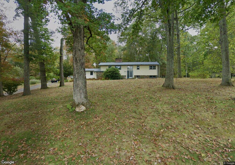
117 Collie Brook Rd East Hampton, CT 06424
Estimated Value: $341,000 - $515,000
3
Beds
2
Baths
1,150
Sq Ft
$379/Sq Ft
Est. Value
About This Home
This home is located at 117 Collie Brook Rd, East Hampton, CT 06424 and is currently estimated at $435,579, approximately $378 per square foot. 117 Collie Brook Rd is a home located in Middlesex County with nearby schools including Memorial School, Center Elementary School, and East Hampton Middle School.
Ownership History
Date
Name
Owned For
Owner Type
Purchase Details
Closed on
Jun 29, 2004
Sold by
Tuthill Bruce A and Tuthill Sandra G
Bought by
Heidtmann Maureen A
Current Estimated Value
Create a Home Valuation Report for This Property
The Home Valuation Report is an in-depth analysis detailing your home's value as well as a comparison with similar homes in the area
Home Values in the Area
Average Home Value in this Area
Purchase History
| Date | Buyer | Sale Price | Title Company |
|---|---|---|---|
| Heidtmann Maureen A | $268,000 | -- | |
| Heidtmann Maureen A | $268,000 | -- |
Source: Public Records
Mortgage History
| Date | Status | Borrower | Loan Amount |
|---|---|---|---|
| Previous Owner | Heidtmann Maureen A | $80,000 | |
| Previous Owner | Heidtmann Maureen A | $30,000 |
Source: Public Records
Tax History
| Year | Tax Paid | Tax Assessment Tax Assessment Total Assessment is a certain percentage of the fair market value that is determined by local assessors to be the total taxable value of land and additions on the property. | Land | Improvement |
|---|---|---|---|---|
| 2025 | $6,704 | $168,820 | $60,330 | $108,490 |
| 2024 | $6,422 | $168,820 | $60,330 | $108,490 |
| 2023 | $6,088 | $168,820 | $60,330 | $108,490 |
| 2022 | $5,851 | $168,820 | $60,330 | $108,490 |
| 2021 | $5,829 | $168,820 | $60,330 | $108,490 |
| 2020 | $5,684 | $171,510 | $61,480 | $110,030 |
| 2019 | $5,648 | $170,440 | $63,200 | $107,240 |
| 2018 | $5,338 | $170,440 | $63,200 | $107,240 |
| 2017 | $5,338 | $170,440 | $63,200 | $107,240 |
| 2016 | $5,018 | $170,440 | $63,200 | $107,240 |
| 2015 | $4,812 | $173,210 | $64,250 | $108,960 |
| 2014 | $4,186 | $173,210 | $64,250 | $108,960 |
Source: Public Records
Map
Nearby Homes
- 149 Colchester Ave
- 117 Colchester Ave
- 119 Colchester Ave
- 68 Colchester Ave
- 2 Dogwood Dr
- 206 N Moodus Rd
- 1 Young St
- 29 Watrous St
- 289 Young St
- 4 Watrous St
- 1 Watrous St
- 141 Sillimanville Rd
- 80 Sillimanville Rd
- 14 Main St
- 0002-5 Edgewater Cir
- 0002-7 Edgewater Cir
- 0002-6 Edgewater Cir
- 00023 Edgewater Cir
- 00026 Edgewater Cir
- 00025 Edgewater Cir
- 119 Collie Brook Rd
- 113 Collie Brook Rd
- 114 Collie Brook Rd
- 112 Collie Brook Rd
- 124 Collie Brook Rd
- 110 Collie Brook Rd
- 108 Collie Brook Rd
- 107 Tartia Rd
- 102 Collie Brook Rd
- 106 Collie Brook Rd
- 115 Tartia Rd
- 97 Collie Brook Rd
- 92 Tartia Rd
- 82 Tartia Rd
- 93 Collie Brook Rd
- 125 Tartia Rd
- 55 Tartia Rd
- 106 Tartia Rd
- 123 Tartia Rd
- 74 Tartia Rd
Your Personal Tour Guide
Ask me questions while you tour the home.