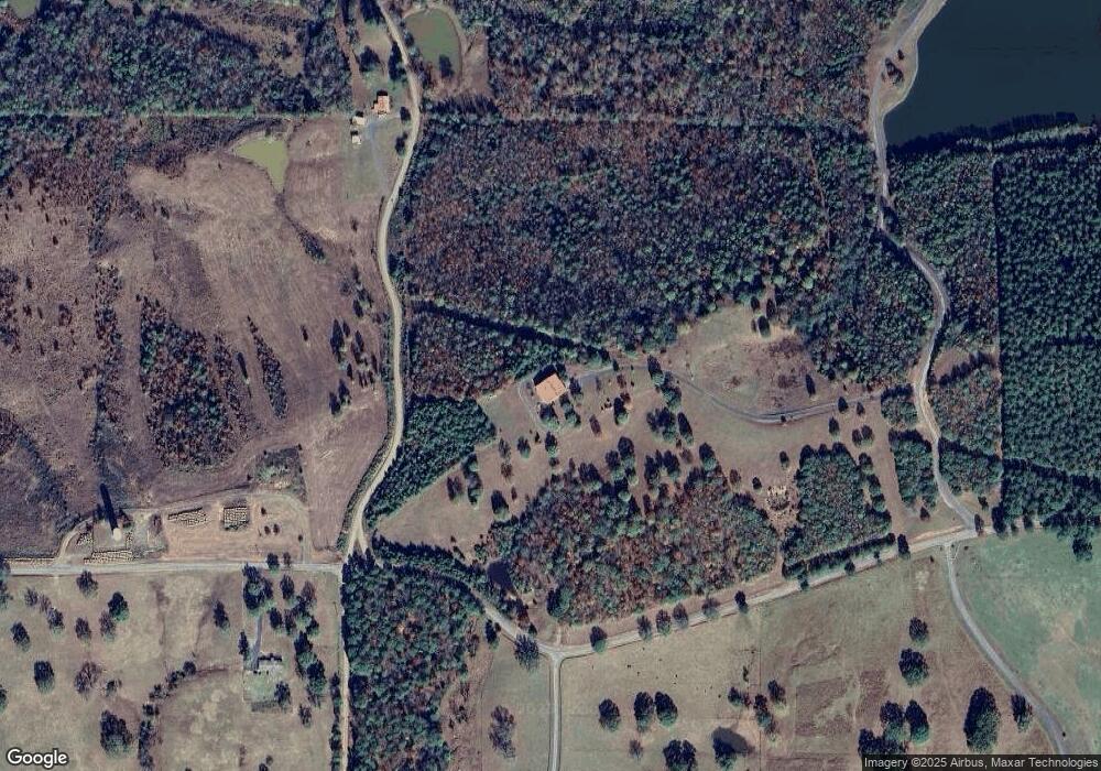
117 Cornerstone Ln Hatfield, AR 71945
Estimated Value: $330,432 - $493,000
Studio
3
Baths
3,500
Sq Ft
$118/Sq Ft
Est. Value
About This Home
This home is located at 117 Cornerstone Ln, Hatfield, AR 71945 and is currently estimated at $411,716, approximately $117 per square foot. 117 Cornerstone Ln is a home with nearby schools including Holly Harshman Elementary School, Mena Middle School, and Mena High School.
Ownership History
Date
Name
Owned For
Owner Type
Purchase Details
Closed on
Dec 22, 2008
Sold by
Kielley Mary W and Kielley Don
Bought by
Burgess Johnathan
Current Estimated Value
Home Financials for this Owner
Home Financials are based on the most recent Mortgage that was taken out on this home.
Original Mortgage
$100,000
Interest Rate
4.2%
Mortgage Type
Purchase Money Mortgage
Purchase Details
Closed on
Apr 1, 1997
Bought by
Titsworth Alan and Titsworth Paula
Create a Home Valuation Report for This Property
The Home Valuation Report is an in-depth analysis detailing your home's value as well as a comparison with similar homes in the area
Purchase History
| Date | Buyer | Sale Price | Title Company |
|---|---|---|---|
| Burgess Johnathan | -- | -- | |
| Titsworth Alan | $227,000 | -- |
Source: Public Records
Mortgage History
| Date | Status | Borrower | Loan Amount |
|---|---|---|---|
| Closed | Burgess Johnathan | $100,000 |
Source: Public Records
Tax History
| Year | Tax Paid | Tax Assessment Tax Assessment Total Assessment is a certain percentage of the fair market value that is determined by local assessors to be the total taxable value of land and additions on the property. | Land | Improvement |
|---|---|---|---|---|
| 2025 | $1,017 | $41,960 | $3,710 | $38,250 |
| 2024 | $1,048 | $41,960 | $3,710 | $38,250 |
| 2023 | $1,058 | $41,960 | $3,710 | $38,250 |
| 2022 | $1,042 | $35,390 | $1,470 | $33,920 |
| 2021 | $986 | $35,390 | $1,470 | $33,920 |
| 2020 | $969 | $35,390 | $1,470 | $33,920 |
| 2019 | $912 | $35,390 | $1,470 | $33,920 |
| 2018 | $899 | $35,810 | $1,890 | $33,920 |
| 2017 | $843 | $27,870 | $2,120 | $25,750 |
| 2016 | $849 | $27,870 | $2,120 | $25,750 |
| 2015 | $849 | $27,870 | $2,120 | $25,750 |
| 2014 | $843 | $27,870 | $2,120 | $25,750 |
Source: Public Records
Map
Nearby Homes
- 130 Polk Road 30
- 441 Polk County Road 30
- 120 Kings Cir
- 119 Polk Road 284
- 119 Polk Rd 284
- 110 Polk County Road 28
- 4250 U S 71
- 132 Polk Road 36
- 108 S Tilley Rd
- 112 Breezy Ln
- 122 Polk Road 286
- TBD Pioneer Ln W
- TBD Pioneer Lane West Lot #4
- 9999 Polk County Road 38
- TBD Polk Road 37
- 1256 Polk Road 38
- 199 Polk Road 414
- 148 Sam Ln
- TBD Easement Road Off of Polk 295
- Easement Road Polk 414
- 229 Polk Road 25 W
- 399 Polk County Road 29
- 399 Polk Road 29
- 412 Polk Road 29
- 255 Polk Road 30
- 278 Polk Road 29
- 207 Polk Road 30
- 352 Polk Road 30
- 456 Polk Road 29
- 361 Polk County Road 30
- 361 Polk Road 30
- 202 Polk Road 28
- 0 Polk Road 30 Unit 16018233
- 0 Polk Road 30 Unit 17013087
- 156 Polk Road 30
- 151 Polk 407
- 9999 153 Rd
- 131 Dove Ln
- 252 Polk Road 29
- 264 Polk Road 28
