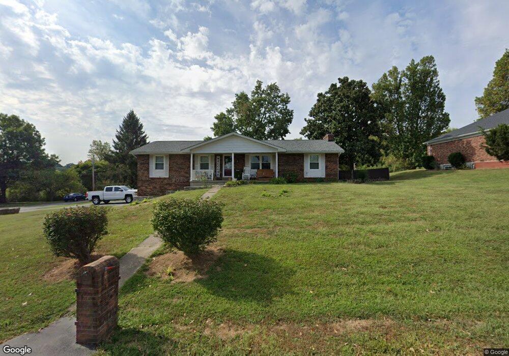
117 David Dr Unit 1 Jackson, MO 63755
Estimated Value: $236,000 - $274,000
3
Beds
3
Baths
2,198
Sq Ft
$115/Sq Ft
Est. Value
About This Home
This home is located at 117 David Dr Unit 1, Jackson, MO 63755 and is currently estimated at $252,826, approximately $115 per square foot. 117 David Dr Unit 1 is a home located in Cape Girardeau County with nearby schools including Russell Hawkins Junior High School, Jackson Senior High School, and Immaculate Conception School.
Ownership History
Date
Name
Owned For
Owner Type
Purchase Details
Closed on
Apr 1, 2010
Sold by
Underwood Matthew Aaron and Underwood Jilana Lee
Bought by
Summers Christopher A and Thorne Laci D
Current Estimated Value
Home Financials for this Owner
Home Financials are based on the most recent Mortgage that was taken out on this home.
Original Mortgage
$140,714
Outstanding Balance
$93,720
Interest Rate
5%
Mortgage Type
New Conventional
Estimated Equity
$159,106
Create a Home Valuation Report for This Property
The Home Valuation Report is an in-depth analysis detailing your home's value as well as a comparison with similar homes in the area
Home Values in the Area
Average Home Value in this Area
Purchase History
| Date | Buyer | Sale Price | Title Company |
|---|---|---|---|
| Summers Christopher A | -- | None Available |
Source: Public Records
Mortgage History
| Date | Status | Borrower | Loan Amount |
|---|---|---|---|
| Open | Summers Christopher A | $140,714 |
Source: Public Records
Tax History
| Year | Tax Paid | Tax Assessment Tax Assessment Total Assessment is a certain percentage of the fair market value that is determined by local assessors to be the total taxable value of land and additions on the property. | Land | Improvement |
|---|---|---|---|---|
| 2025 | $1,065 | $21,230 | $2,060 | $19,170 |
| 2024 | $1,013 | $20,220 | $1,960 | $18,260 |
| 2023 | $1,013 | $20,220 | $1,960 | $18,260 |
| 2022 | $933 | $18,640 | $1,810 | $16,830 |
| 2021 | $933 | $18,640 | $1,810 | $16,830 |
| 2020 | $937 | $18,640 | $1,810 | $16,830 |
| 2019 | $935 | $18,630 | $0 | $0 |
| 2018 | $933 | $18,630 | $0 | $0 |
| 2017 | $936 | $18,630 | $0 | $0 |
| 2016 | $838 | $18,630 | $0 | $0 |
| 2015 | $839 | $18,630 | $0 | $0 |
| 2014 | $845 | $18,630 | $0 | $0 |
Source: Public Records
Map
Nearby Homes
- 236 Haydens Trail
- 365 Sassenach Dr
- 131 Brandon Cole Ct
- 2864 Clear Spring Place
- 203 Broch Tuarach Place
- 5360 Hubble Cove
- 231 Broch Tuarach Place
- 535 Fraser Ridge
- 202-204 W Deerwood Dr
- 500 Fraser Ridge
- 400 E Deerwood Dr Unit 400 & 402
- 5355 Byrd Creek Trail
- 467 Castle Leoch
- 778 W Deerwood Dr
- 2496 Prairie View Trail
- 545 Wentworth Dr
- 548 Wentworth Dr
- 1450 Donna Lynn Dr
- 1491 Donna Lynn Dr
- 2663 State Highway Ff
Your Personal Tour Guide
Ask me questions while you tour the home.