117 Deer Ridge Ln Oakland, OR 97462
Estimated Value: $187,000 - $342,473
3
Beds
2
Baths
1,440
Sq Ft
$207/Sq Ft
Est. Value
About This Home
This home is located at 117 Deer Ridge Ln, Oakland, OR 97462 and is currently estimated at $297,368, approximately $206 per square foot. 117 Deer Ridge Ln is a home located in Douglas County with nearby schools including Oakland Elementary School, Lincoln Middle School, and Oakland High School.
Ownership History
Date
Name
Owned For
Owner Type
Purchase Details
Closed on
Nov 25, 2015
Sold by
Harvey Thomas J
Bought by
Harvey Thomas James and The Thomas James Harvey Trust
Current Estimated Value
Purchase Details
Closed on
Apr 29, 2013
Sold by
Wilson Katharyn
Bought by
Harvey Thomas J
Purchase Details
Closed on
Jul 22, 2009
Sold by
Hall Joy and Ammons Virginia M
Bought by
Winn Earl W and Riley Letha
Purchase Details
Closed on
Nov 29, 2004
Sold by
Ammons Frank E and Ammons Virginia M
Bought by
Hall Joy and Ammons Virginia M
Create a Home Valuation Report for This Property
The Home Valuation Report is an in-depth analysis detailing your home's value as well as a comparison with similar homes in the area
Home Values in the Area
Average Home Value in this Area
Purchase History
| Date | Buyer | Sale Price | Title Company |
|---|---|---|---|
| Harvey Thomas James | -- | None Available | |
| Harvey Thomas J | $120,000 | Western Title & Escrow Co | |
| Winn Earl W | $120,000 | Ticor Title Company Oregon | |
| Hall Joy | -- | -- |
Source: Public Records
Tax History Compared to Growth
Tax History
| Year | Tax Paid | Tax Assessment Tax Assessment Total Assessment is a certain percentage of the fair market value that is determined by local assessors to be the total taxable value of land and additions on the property. | Land | Improvement |
|---|---|---|---|---|
| 2024 | $1,382 | $151,916 | -- | -- |
| 2023 | $1,219 | $147,492 | $0 | $0 |
| 2022 | $1,186 | $143,197 | $0 | $0 |
| 2021 | $1,216 | $139,027 | $0 | $0 |
| 2020 | $1,186 | $134,978 | $0 | $0 |
| 2019 | $1,155 | $131,047 | $0 | $0 |
| 2018 | $1,125 | $127,231 | $0 | $0 |
| 2017 | $1,146 | $123,526 | $0 | $0 |
| 2016 | $1,114 | $119,929 | $0 | $0 |
| 2015 | $1,020 | $116,436 | $0 | $0 |
| 2014 | $991 | $113,045 | $0 | $0 |
| 2013 | -- | $109,753 | $0 | $0 |
Source: Public Records
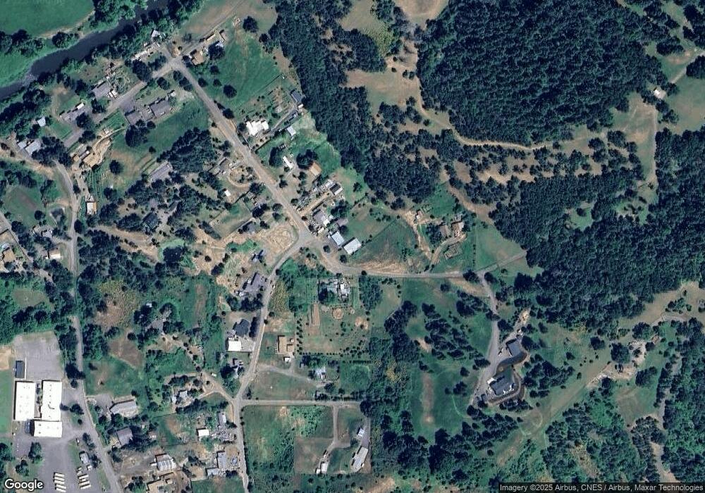
Map
Nearby Homes
- 0 Locust St
- 134 SE 5th St
- 411 NE 1st St
- 320 Wells Ln
- 106 Green Valley Rd
- 413 SE Pear St
- 312 SE Front St
- 276 Union Gap Loop Rd
- 249 Union Gap Loop Rd
- 1980 E Sixth Ave
- 402 Northside Rd
- 1841 E Sixth Ave
- 660 Jade St
- 1917 E Sixth Ave
- 1545 E Fourth Ave
- 1762 E Fourth Ave
- 689 Sherwood Dr
- 1234 E Fourth Ave
- 642 Terrace Ln
- 1175 Northside Rd
- 1591 Old Town Loop Rd
- 132 Deer Ridge Ln
- 1549 Old Town Loop Rd
- 235 Deer Ridge Ln
- 1556 Old Town Loop Rd
- 1552 Old Town Loop Rd
- 1682 Old Town Loop Rd
- 1767 Old Town Loop Rd
- 1765 Old Town Loop Rd
- 1545 Old Town Loop Rd
- 1726 Old Town Loop Rd
- 1506 Old Town Loop Rd
- 1497 Old Town Loop Rd
- 1764 Old Town Loop Rd
- 1138 Old Town Loop Rd
- 1800 Old Town Loop Rd
- 0 Old Town Loop Rd
- 1807 Old Town Loop Rd
- 1828 Old Town Loop Rd
- 1804 Old Town Loop Rd