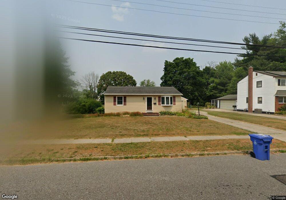
117 Deptford Rd Glassboro, NJ 08028
Estimated Value: $222,967 - $292,000
--
Bed
--
Bath
864
Sq Ft
$290/Sq Ft
Est. Value
About This Home
This home is located at 117 Deptford Rd, Glassboro, NJ 08028 and is currently estimated at $250,742, approximately $290 per square foot. 117 Deptford Rd is a home located in Gloucester County with nearby schools including J Harvey Rodgers School, Dorothy L Bullock Elementary, and Glassboro Intermediate School.
Ownership History
Date
Name
Owned For
Owner Type
Purchase Details
Closed on
Jan 28, 1999
Sold by
Andress Richard B and Andress Holly M
Bought by
Simon Peter and Sine Mary Beth
Current Estimated Value
Home Financials for this Owner
Home Financials are based on the most recent Mortgage that was taken out on this home.
Original Mortgage
$93,916
Outstanding Balance
$22,306
Interest Rate
6.78%
Mortgage Type
FHA
Estimated Equity
$228,436
Purchase Details
Closed on
May 27, 1994
Sold by
Bell Warren E
Bought by
Andress Richard B and Zachring Holly
Home Financials for this Owner
Home Financials are based on the most recent Mortgage that was taken out on this home.
Original Mortgage
$88,000
Interest Rate
8.49%
Mortgage Type
FHA
Create a Home Valuation Report for This Property
The Home Valuation Report is an in-depth analysis detailing your home's value as well as a comparison with similar homes in the area
Home Values in the Area
Average Home Value in this Area
Purchase History
| Date | Buyer | Sale Price | Title Company |
|---|---|---|---|
| Simon Peter | $94,000 | Congress Title Division | |
| Andress Richard B | $88,000 | -- |
Source: Public Records
Mortgage History
| Date | Status | Borrower | Loan Amount |
|---|---|---|---|
| Open | Simon Peter | $93,916 | |
| Previous Owner | Andress Richard B | $88,000 |
Source: Public Records
Tax History Compared to Growth
Tax History
| Year | Tax Paid | Tax Assessment Tax Assessment Total Assessment is a certain percentage of the fair market value that is determined by local assessors to be the total taxable value of land and additions on the property. | Land | Improvement |
|---|---|---|---|---|
| 2025 | $5,199 | $147,700 | $65,900 | $81,800 |
| 2024 | $5,168 | $147,700 | $65,900 | $81,800 |
| 2023 | $5,168 | $147,700 | $65,900 | $81,800 |
| 2022 | $5,116 | $147,700 | $65,900 | $81,800 |
| 2021 | $5,203 | $147,700 | $65,900 | $81,800 |
| 2020 | $5,233 | $147,700 | $65,900 | $81,800 |
| 2019 | $5,242 | $147,700 | $65,900 | $81,800 |
| 2018 | $5,245 | $147,700 | $65,900 | $81,800 |
| 2017 | $5,270 | $147,700 | $65,900 | $81,800 |
| 2016 | $5,118 | $147,700 | $65,900 | $81,800 |
| 2015 | $5,007 | $147,700 | $65,900 | $81,800 |
| 2014 | $4,893 | $147,700 | $65,900 | $81,800 |
Source: Public Records
Map
Nearby Homes
- 20 Deptford Rd
- 0 Franklin Rd
- 220 Franklin Rd
- 112 Dickinson Rd
- 20 Princeton Dr
- 109 Laurel Ave
- 116 Ellis St
- 114 Ellis St
- 306 Mullica Hill Rd
- 61 Arlotta St
- 131 Evergreen Pkwy
- 120 Peace Ln
- 29 S Main St
- 10 Grove St
- 52-54 N Main St
- 825 Fordham Place
- 340 Honeymoon Rd
- 350 Honeymoon Rd
- 119 S Academy St
- 291 Union St