117 Doe Ln Denver, IA 50622
Estimated Value: $442,000 - $518,000
3
Beds
3
Baths
2,900
Sq Ft
$169/Sq Ft
Est. Value
About This Home
This home is located at 117 Doe Ln, Denver, IA 50622 and is currently estimated at $490,658, approximately $169 per square foot. 117 Doe Ln is a home located in Bremer County with nearby schools including Denver Elementary School, Denver Middle School, and Denver Senior High School.
Ownership History
Date
Name
Owned For
Owner Type
Purchase Details
Closed on
Jul 14, 2023
Sold by
Shepard Gabe E and Shepard Emily L
Bought by
Sorensen Blake David and Sorensen Aimee
Current Estimated Value
Home Financials for this Owner
Home Financials are based on the most recent Mortgage that was taken out on this home.
Original Mortgage
$65,250
Interest Rate
6.71%
Mortgage Type
New Conventional
Purchase Details
Closed on
Oct 12, 2011
Sold by
Bush Daniel R
Bought by
Shepard Gabe E and Shepard Emily L
Home Financials for this Owner
Home Financials are based on the most recent Mortgage that was taken out on this home.
Original Mortgage
$294,500
Interest Rate
4.12%
Mortgage Type
New Conventional
Purchase Details
Closed on
Sep 7, 2004
Sold by
Bush Darcy J
Bought by
Bush Daniel R
Create a Home Valuation Report for This Property
The Home Valuation Report is an in-depth analysis detailing your home's value as well as a comparison with similar homes in the area
Purchase History
| Date | Buyer | Sale Price | Title Company |
|---|---|---|---|
| Sorensen Blake David | $435,000 | None Listed On Document | |
| Lockard Justin R | $130,000 | None Listed On Document | |
| Shepard Gabe E | $310,000 | None Available | |
| Bush Daniel R | -- | Title Services Corp |
Source: Public Records
Mortgage History
| Date | Status | Borrower | Loan Amount |
|---|---|---|---|
| Closed | Sorensen Blake David | $65,250 | |
| Open | Lockard Justin R | $104,000 | |
| Open | Sorensen Blake David | $348,000 | |
| Previous Owner | Shepard Gabe E | $294,500 |
Source: Public Records
Tax History
| Year | Tax Paid | Tax Assessment Tax Assessment Total Assessment is a certain percentage of the fair market value that is determined by local assessors to be the total taxable value of land and additions on the property. | Land | Improvement |
|---|---|---|---|---|
| 2025 | $5,218 | $452,190 | $118,250 | $333,940 |
| 2024 | $5,218 | $393,390 | $87,000 | $306,390 |
| 2023 | $5,058 | $417,130 | $76,900 | $340,230 |
| 2022 | $4,890 | $350,550 | $71,200 | $279,350 |
| 2021 | $4,900 | $350,550 | $71,200 | $279,350 |
| 2020 | $4,900 | $338,790 | $59,000 | $279,790 |
| 2019 | $4,620 | $331,270 | $0 | $0 |
| 2018 | $4,544 | $334,490 | $0 | $0 |
| 2017 | $4,544 | $321,020 | $0 | $0 |
| 2016 | $4,214 | $307,940 | $0 | $0 |
| 2015 | $4,214 | $287,790 | $0 | $0 |
| 2014 | $3,930 | $287,790 | $0 | $0 |
Source: Public Records
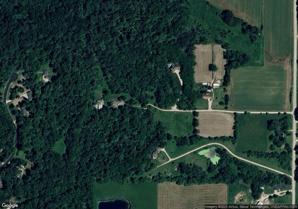
Map
Nearby Homes
- 112 Winding Ridge Rd
- Lot 9 Arrowhead Ridge
- Lot 5 Arrowhead Ridge
- Lot 7 Arrowhead Ridge
- Lot 3 Arrowhead Ridge
- Lot 2 Arrowhead Ridge
- LOT 1 Arrowhead Ridge
- Lot 12 Arrowhead Ridge
- 308 Arrowhead Ridge
- 110 Hidden Meadow Ln
- 11.55 Highway 63
- 1809 250th St
- 230 Washington St
- 220 E Franklin St
- 235 E Franklin St
- 730 Iowa St
- 201 Lincoln St
- 0 State St Unit NBR20252861
- 760 S Mill St
- 221 Prestien Dr
- 117 Doe Ln
- 115 Doe Ln
- 214 Wood Smoke Rd
- 208 Wood Smoke Rd
- 2526 Killdeer Ave
- 113 Doe Ln
- 202 Wood Smoke Rd
- 207 Wood Smoke Rd
- 109 Doe Ln
- 201 Wood Smoke Rd
- 209 Wood Smoke Rd
- 406 Rustic Hills Rd
- 0 Parcel #1015376004 Unit 20224419
- 404 Rustic Hills Rd
- 102 Wood Smoke Rd
- 100 Wood Smoke Rd
- 100 Woodsmoke Rd
- 402 Rustic Hills Rd
- 104 Wood Smoke Rd
- 106 Wood Smoke Rd
Your Personal Tour Guide
Ask me questions while you tour the home.