117 E Airport Rd Haskell, OK 74436
Estimated Value: $1,066,875
--
Bed
--
Bath
14,400
Sq Ft
$74/Sq Ft
Est. Value
About This Home
This home is located at 117 E Airport Rd, Haskell, OK 74436 and is currently estimated at $1,066,875, approximately $74 per square foot. 117 E Airport Rd is a home located in Muskogee County with nearby schools including Mary White Elementary School, Haskell Middle School, and Haskell High School.
Ownership History
Date
Name
Owned For
Owner Type
Purchase Details
Closed on
Dec 31, 2020
Sold by
Airport Industrial Park Llc
Bought by
Crazy Fingers Llc
Current Estimated Value
Purchase Details
Closed on
Jan 16, 2004
Bought by
Airport Industrial Park Llc
Purchase Details
Closed on
Jun 30, 1999
Purchase Details
Closed on
Nov 30, 1998
Purchase Details
Closed on
Dec 1, 1995
Create a Home Valuation Report for This Property
The Home Valuation Report is an in-depth analysis detailing your home's value as well as a comparison with similar homes in the area
Home Values in the Area
Average Home Value in this Area
Purchase History
| Date | Buyer | Sale Price | Title Company |
|---|---|---|---|
| Crazy Fingers Llc | $700,000 | Guaranty Title Company | |
| Carzy Fingers Llc | $700,000 | Guaranty Title Company | |
| Airport Industrial Park Llc | $61,000 | -- | |
| -- | $155,000 | -- | |
| -- | -- | -- | |
| -- | $49,500 | -- |
Source: Public Records
Tax History Compared to Growth
Tax History
| Year | Tax Paid | Tax Assessment Tax Assessment Total Assessment is a certain percentage of the fair market value that is determined by local assessors to be the total taxable value of land and additions on the property. | Land | Improvement |
|---|---|---|---|---|
| 2025 | $7,217 | $63,853 | $12,650 | $51,203 |
| 2024 | $7,217 | $62,881 | $12,650 | $50,231 |
| 2023 | $7,217 | $77,000 | $3,490 | $73,510 |
| 2022 | $7,464 | $77,000 | $3,490 | $73,510 |
| 2021 | $1,980 | $19,590 | $6,314 | $13,276 |
| 2020 | $1,913 | $18,657 | $6,314 | $12,343 |
| 2019 | $1,789 | $22,681 | $6,314 | $16,367 |
| 2018 | $1,725 | $22,681 | $6,314 | $16,367 |
| 2017 | $1,529 | $16,117 | $6,314 | $9,803 |
| 2016 | $1,456 | $15,349 | $6,314 | $9,035 |
| 2015 | $1,412 | $14,618 | $6,314 | $8,304 |
| 2014 | $0 | $13,922 | $6,314 | $7,608 |
Source: Public Records
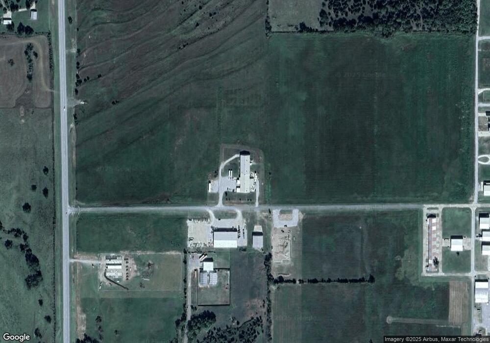
Map
Nearby Homes
- 21255 W Skelly Rd
- 1 W 204th St
- 605 S Chickasaw Ave
- 766 S Cherokee Ave
- 762 S Cherokee Ave
- 758 S Cherokee Ave
- 754 S Cherokee Ave
- 710 W Spruce St
- 749 S Cherokee Ave
- 750 S Cherokee Ave
- 1116 W Franklin St
- 103 S Zion Ave
- RC Foster II Plan at Cedar Village
- RC Franklin Plan at Cedar Village
- RC Ross Plan at Cedar Village
- RC Morgan Plan at Cedar Village
- RC Carson Plan at Cedar Village
- RC Coleman Plan at Cedar Village
- RC Fenway Plan at Cedar Village
- RC Clark Plan at Cedar Village
- 621 S Chickasaw Ave
- 21153 W Skelly Rd
- 621 S Chickasaw Ave
- 24249 W Skelly Rd
- 20705 W Skelly Rd
- 22011 W Skelly Rd
- 23118 W Skelly Rd
- 1607 S Chickasaw Ave
- 21942 W Skelly Rd
- 311 W Spruce St
- 22327 W Skelly Rd
- 305 S Chickasaw Ave
- 23213 W Skelly Rd
- 25100 W Cypress St
- 1330 Rr 1
- 118 Rr 1
- 403 N Dakota Ave
- 1212 Green Country Blvd
- 1100 Scott St
- 101 Zion