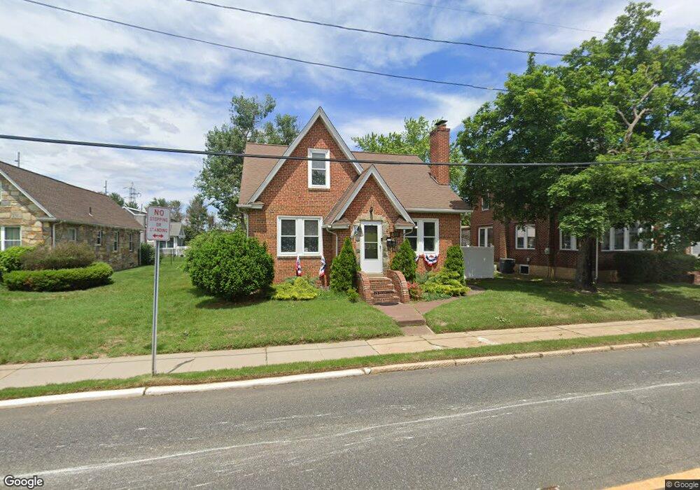
117 E Broad St Gibbstown, NJ 08027
Estimated Value: $264,985 - $346,000
Studio
--
Bath
1,776
Sq Ft
$180/Sq Ft
Est. Value
About This Home
This home is located at 117 E Broad St, Gibbstown, NJ 08027 and is currently estimated at $319,996, approximately $180 per square foot. 117 E Broad St is a home located in Gloucester County with nearby schools including Nehaunsey Middle School and Guardian Angels Regional School.
Ownership History
Date
Name
Owned For
Owner Type
Purchase Details
Closed on
Dec 17, 2019
Sold by
Cicione Peter J
Bought by
Cicione Michael P and Snyder Cherie D
Current Estimated Value
Home Financials for this Owner
Home Financials are based on the most recent Mortgage that was taken out on this home.
Original Mortgage
$140,000
Outstanding Balance
$123,430
Interest Rate
3.6%
Mortgage Type
New Conventional
Estimated Equity
$196,566
Purchase Details
Closed on
Apr 2, 2003
Sold by
Cicione Peter J and Cicione Gerri Lynn
Bought by
Cicione Peter J
Home Financials for this Owner
Home Financials are based on the most recent Mortgage that was taken out on this home.
Original Mortgage
$81,900
Interest Rate
5.88%
Mortgage Type
Stand Alone First
Create a Home Valuation Report for This Property
The Home Valuation Report is an in-depth analysis detailing your home's value as well as a comparison with similar homes in the area
Home Values in the Area
Average Home Value in this Area
Purchase History
| Date | Buyer | Sale Price | Title Company |
|---|---|---|---|
| Cicione Michael P | $175,000 | None Available | |
| Cicione Peter J | -- | National Title Agency |
Source: Public Records
Mortgage History
| Date | Status | Borrower | Loan Amount |
|---|---|---|---|
| Open | Cicione Michael P | $140,000 | |
| Previous Owner | Cicione Peter J | $81,900 |
Source: Public Records
Tax History
| Year | Tax Paid | Tax Assessment Tax Assessment Total Assessment is a certain percentage of the fair market value that is determined by local assessors to be the total taxable value of land and additions on the property. | Land | Improvement |
|---|---|---|---|---|
| 2025 | $5,698 | $165,500 | $26,600 | $138,900 |
| 2024 | $5,399 | $165,500 | $26,600 | $138,900 |
| 2023 | $5,399 | $165,500 | $26,600 | $138,900 |
| 2022 | $5,402 | $165,500 | $26,600 | $138,900 |
| 2021 | $5,346 | $165,500 | $26,600 | $138,900 |
| 2020 | $5,420 | $165,500 | $26,600 | $138,900 |
| 2019 | $5,423 | $165,500 | $26,600 | $138,900 |
| 2018 | $5,270 | $165,500 | $26,600 | $138,900 |
| 2017 | $5,142 | $165,500 | $26,600 | $138,900 |
| 2016 | $5,086 | $165,500 | $26,600 | $138,900 |
| 2015 | $4,922 | $165,500 | $26,600 | $138,900 |
| 2014 | $4,710 | $165,500 | $26,600 | $138,900 |
Source: Public Records
Map
Nearby Homes
- 37 Harmony Rd
- 354 Memorial Ave
- 361 Democrat Rd
- 433 Jefferson St
- 622 W Broad St
- 765 Willow Dr
- 312 Croce Ave
- 318 W Buck St
- 403 W Broad St
- L18 20 W Broad St
- 255 Elizabeth Ave
- 311 Morton Ave
- 1003 Hoffman Ave
- 227 W Washington St
- 227 W Buck St
- 205 W Adams St
- 1224 Heddon Ave
- 53-55 Roosevelt St
- 122 W Washington St
- 1221 Walter Ave
- 107 E Broad St
- 119 E Broad St
- W Broad St
- 129 E Broad St
- 126 E Broad St Unit 128
- 16 Newell Place
- 108 E Broad St
- 122 E Vine St
- 133 E Broad St
- 132 E Broad St
- 53 E Broad St
- 136 E Broad St
- 17 Newell Place
- 101 E Vine St
- 143 E Broad St
- 123 E Vine St
- 43 E Broad St
- 71 E Vine St
- 917 Billingsport Rd Unit 3
- 917 Billingsport Rd
Your Personal Tour Guide
Ask me questions while you tour the home.