Estimated Value: $145,023 - $172,000
2
Beds
1
Bath
1,376
Sq Ft
$115/Sq Ft
Est. Value
About This Home
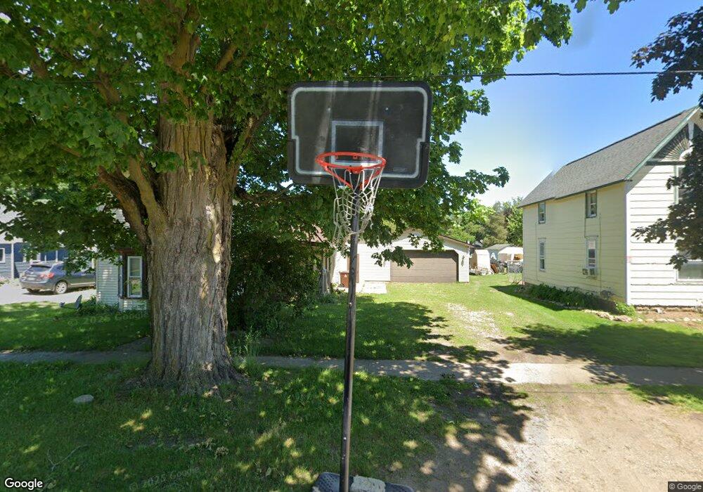
This home is located at 117 E Oak St, Elsie, MI 48831 and is currently estimated at $158,006, approximately $114 per square foot. 117 E Oak St is a home located in Clinton County with nearby schools including E.E. Knight Elementary School, Leonard Elementary School, and Ovid-Elsie Middle School.
Ownership History
Date
Name
Owned For
Owner Type
Purchase Details
Closed on
Aug 5, 2013
Sold by
Secretary Of Housing & Urban Development
Bought by
Bukovick David D
Current Estimated Value
Purchase Details
Closed on
Nov 16, 2012
Sold by
Bank Of America Na
Bought by
Secretary Of Housing & Urban Development
Purchase Details
Closed on
Jul 11, 2012
Sold by
Petkus Joyce E and Petkus Arnold Eric
Bought by
Bank Of America Na
Create a Home Valuation Report for This Property
The Home Valuation Report is an in-depth analysis detailing your home's value as well as a comparison with similar homes in the area
Home Values in the Area
Average Home Value in this Area
Purchase History
| Date | Buyer | Sale Price | Title Company |
|---|---|---|---|
| Bukovick David D | $17,480 | Diversified National Title | |
| Secretary Of Housing & Urban Development | -- | None Available | |
| Bank Of America Na | $102,511 | None Available |
Source: Public Records
Tax History Compared to Growth
Tax History
| Year | Tax Paid | Tax Assessment Tax Assessment Total Assessment is a certain percentage of the fair market value that is determined by local assessors to be the total taxable value of land and additions on the property. | Land | Improvement |
|---|---|---|---|---|
| 2025 | $1,054 | $56,900 | $3,200 | $53,700 |
| 2024 | $400 | $54,500 | $3,200 | $51,300 |
| 2023 | $379 | $45,100 | $0 | $0 |
| 2022 | $936 | $39,800 | $3,200 | $36,600 |
| 2021 | $975 | $37,900 | $2,900 | $35,000 |
| 2020 | $1,301 | $35,900 | $3,100 | $32,800 |
| 2019 | $811 | $29,000 | $3,100 | $25,900 |
| 2018 | $791 | $29,000 | $3,100 | $25,900 |
| 2017 | -- | $29,000 | $3,600 | $25,400 |
| 2016 | $759 | $29,100 | $3,600 | $25,500 |
| 2015 | -- | $27,000 | $0 | $0 |
| 2011 | -- | $29,200 | $0 | $0 |
Source: Public Records
Map
Nearby Homes
- 228 E Pine St
- 204 W Pine St
- 323 E Main St
- 229 W Maple St
- 7060 E Maple Rapids Rd
- 4321 N Upton Rd
- 000 W Huff Rd
- 5752 E Colony Rd
- 0 E Colony Rd Unit 286182
- 11550 S Wisner Rd
- 218 W High St
- 228 W Pearl St
- 306 N Main St
- 222 N Main St
- 10230 E Cleveland Rd
- 1 Peet Rd
- 210 W Front St
- 217 W Clinton St
- 8311 N Friegel Rd
- 9882 W M 21