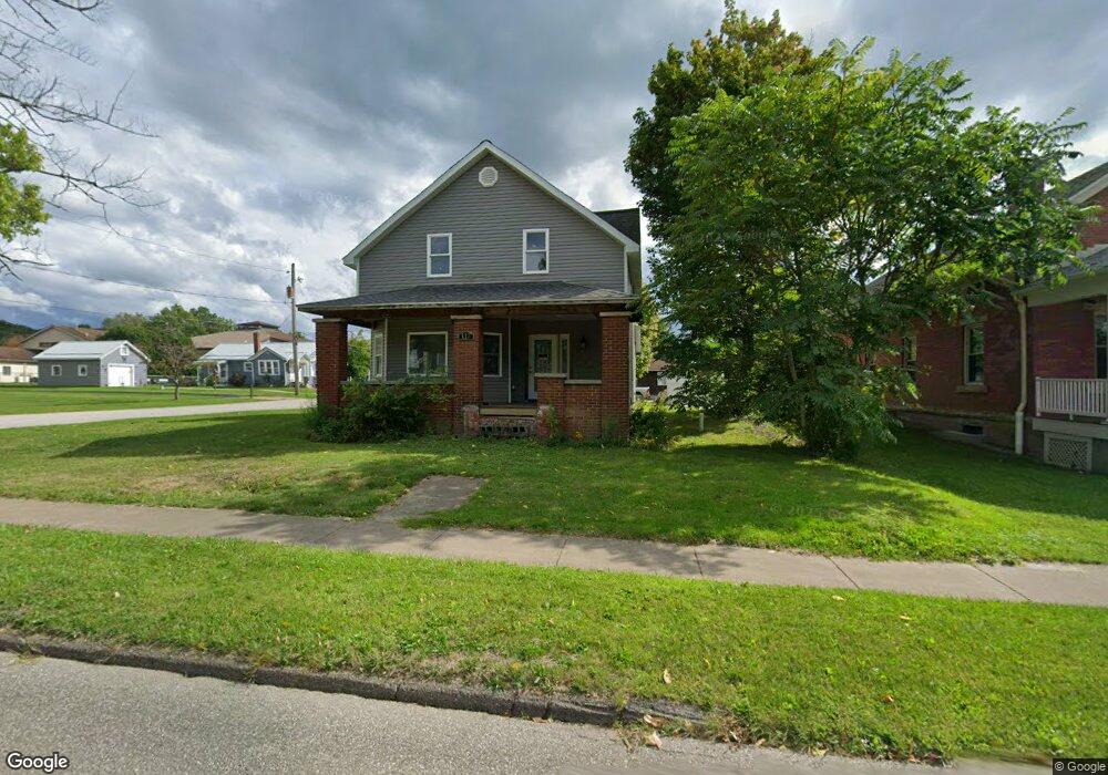
117 E Pearl St Albion, PA 16401
Estimated Value: $176,390 - $210,000
4
Beds
2
Baths
1,555
Sq Ft
$123/Sq Ft
Est. Value
About This Home
This home is located at 117 E Pearl St, Albion, PA 16401 and is currently estimated at $190,848, approximately $122 per square foot. 117 E Pearl St is a home located in Erie County with nearby schools including Northwestern Senior High School and Cranesville Christian Academy.
Ownership History
Date
Name
Owned For
Owner Type
Purchase Details
Closed on
Mar 13, 2014
Sold by
Christiana Trust A Division Of Wilmingto
Bought by
Sachar Paul P
Current Estimated Value
Purchase Details
Closed on
Jun 29, 2013
Sold by
Gunther Richard L and Gunther Robin
Bought by
Christiana Trust
Purchase Details
Closed on
Apr 14, 2000
Sold by
Mcfayden Cynthia L
Bought by
Gunther Richard L and Gunther Robin M
Home Financials for this Owner
Home Financials are based on the most recent Mortgage that was taken out on this home.
Original Mortgage
$66,950
Interest Rate
8.26%
Purchase Details
Closed on
Nov 18, 1998
Sold by
Winter Mark G and Winter Amanda Dione
Bought by
Mcfayden Cynthia L
Home Financials for this Owner
Home Financials are based on the most recent Mortgage that was taken out on this home.
Original Mortgage
$49,600
Interest Rate
6.68%
Purchase Details
Closed on
Aug 17, 1993
Sold by
Not Provided
Bought by
Winter Mark G
Create a Home Valuation Report for This Property
The Home Valuation Report is an in-depth analysis detailing your home's value as well as a comparison with similar homes in the area
Home Values in the Area
Average Home Value in this Area
Purchase History
| Date | Buyer | Sale Price | Title Company |
|---|---|---|---|
| Sachar Paul P | $35,000 | None Available | |
| Christiana Trust | -- | None Available | |
| Gunther Richard L | $65,000 | -- | |
| Mcfayden Cynthia L | $62,000 | -- | |
| Winter Mark G | $45,000 | -- |
Source: Public Records
Mortgage History
| Date | Status | Borrower | Loan Amount |
|---|---|---|---|
| Previous Owner | Gunther Richard L | $66,950 | |
| Previous Owner | Mcfayden Cynthia L | $49,600 |
Source: Public Records
Tax History Compared to Growth
Tax History
| Year | Tax Paid | Tax Assessment Tax Assessment Total Assessment is a certain percentage of the fair market value that is determined by local assessors to be the total taxable value of land and additions on the property. | Land | Improvement |
|---|---|---|---|---|
| 2025 | $2,888 | $105,380 | $19,700 | $85,680 |
| 2024 | $2,840 | $105,380 | $19,700 | $85,680 |
| 2023 | $2,467 | $105,380 | $19,700 | $85,680 |
| 2022 | $2,385 | $105,380 | $19,700 | $85,680 |
| 2021 | $2,361 | $105,380 | $19,700 | $85,680 |
| 2020 | $1,919 | $87,640 | $19,700 | $67,940 |
| 2019 | $1,889 | $87,640 | $19,700 | $67,940 |
| 2018 | $1,832 | $87,640 | $19,700 | $67,940 |
| 2017 | $1,656 | $87,640 | $19,700 | $67,940 |
| 2016 | $1,878 | $87,640 | $19,700 | $67,940 |
| 2015 | $1,856 | $87,640 | $19,700 | $67,940 |
| 2014 | $1,013 | $87,640 | $19,700 | $67,940 |
Source: Public Records
Map
Nearby Homes
- 15 Thornton Ave
- 60 Park Ave
- 0 Route 6n
- 84 N Main St
- 95 3rd Ave
- 86 S Main St
- 22 Cherry St
- 9958 Bateman Ave
- 9834 Bateman Ave
- 10023 Reservoir Rd
- 0 Winchester Dr Unit 178085
- 0 Winchester Dr Unit 178083
- 10210 Knapp Rd
- 10650 Bowmantown Rd
- 9749 9801 Moses Rd
- 11120 West Rd
- Lot3 West Rd
- Lot1 West Rd
- 9030 Pennsylvania 18
- 8574 Kinsey Rd