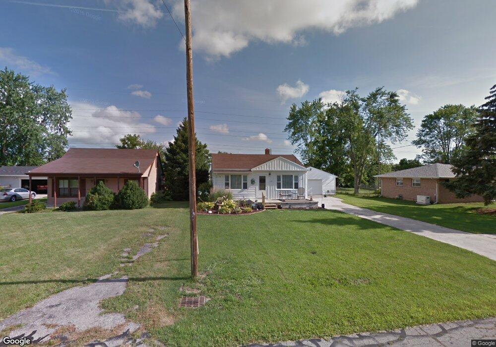
117 Elm St Walbridge, OH 43465
Estimated Value: $138,000 - $191,000
2
Beds
1
Bath
1,393
Sq Ft
$125/Sq Ft
Est. Value
About This Home
This home is located at 117 Elm St, Walbridge, OH 43465 and is currently estimated at $174,152, approximately $125 per square foot. 117 Elm St is a home located in Wood County with nearby schools including Lake Elementary School, Lake Middle School, and Lake High School.
Ownership History
Date
Name
Owned For
Owner Type
Purchase Details
Closed on
Feb 28, 2001
Sold by
Lewis David A and Lewis Jacqueline A
Bought by
Lloyd Barbara J and Lloyd Rachel S
Current Estimated Value
Home Financials for this Owner
Home Financials are based on the most recent Mortgage that was taken out on this home.
Original Mortgage
$101,650
Outstanding Balance
$35,106
Interest Rate
7.18%
Estimated Equity
$139,046
Purchase Details
Closed on
Sep 17, 1986
Bought by
Oneal Kim M
Create a Home Valuation Report for This Property
The Home Valuation Report is an in-depth analysis detailing your home's value as well as a comparison with similar homes in the area
Home Values in the Area
Average Home Value in this Area
Purchase History
| Date | Buyer | Sale Price | Title Company |
|---|---|---|---|
| Lloyd Barbara J | $107,000 | Northwest Title Agency Of Oh | |
| Oneal Kim M | -- | -- |
Source: Public Records
Mortgage History
| Date | Status | Borrower | Loan Amount |
|---|---|---|---|
| Open | Lloyd Barbara J | $101,650 |
Source: Public Records
Tax History
| Year | Tax Paid | Tax Assessment Tax Assessment Total Assessment is a certain percentage of the fair market value that is determined by local assessors to be the total taxable value of land and additions on the property. | Land | Improvement |
|---|---|---|---|---|
| 2025 | $1,420 | $41,895 | $7,210 | $34,685 |
| 2024 | $1,813 | $41,895 | $7,210 | $34,685 |
| 2023 | $1,857 | $41,900 | $7,210 | $34,690 |
| 2021 | $1,844 | $35,460 | $7,210 | $28,250 |
| 2020 | $1,771 | $35,460 | $7,210 | $28,250 |
| 2019 | $1,645 | $30,350 | $7,210 | $23,140 |
| 2018 | $1,641 | $30,350 | $7,210 | $23,140 |
| 2017 | $1,626 | $30,350 | $7,210 | $23,140 |
| 2016 | $1,406 | $26,750 | $6,480 | $20,270 |
| 2015 | $1,406 | $26,750 | $6,480 | $20,270 |
| 2014 | $1,487 | $26,750 | $6,480 | $20,270 |
| 2013 | $1,724 | $29,720 | $7,210 | $22,510 |
Source: Public Records
Map
Nearby Homes
- 30643 Drouillard Rd
- 504 N Main St
- 238 S Bridge Rd
- 236 S Bridge Rd
- 224 S Bridge Rd
- 232 S Bridge Rd
- 241 S Bridge Rd
- 237 S Bridge Rd
- 225 E Union St
- 100 W Union St
- 1107 Lemoyne Rd
- 199 E Bridge Rd
- 3517 Goodrich Ave
- 2432 Rochester Place
- 3901 Plumey Rd
- 0 Williston Rd
- 230 Ritter Ave
- 2826 Olde Curtice Rd
- 115 W Bridge Rd
- 113 W Bridge Rd
Your Personal Tour Guide
Ask me questions while you tour the home.