117 Fisher Rd Hazlehurst, GA 31539
Estimated Value: $99,033 - $206,000
--
Bed
1
Bath
1,496
Sq Ft
$98/Sq Ft
Est. Value
About This Home
This home is located at 117 Fisher Rd, Hazlehurst, GA 31539 and is currently estimated at $146,758, approximately $98 per square foot. 117 Fisher Rd is a home located in Jeff Davis County with nearby schools including Jeff Davis Primary School, Jeff Davis Elementary School, and Jeff Davis Middle School.
Ownership History
Date
Name
Owned For
Owner Type
Purchase Details
Closed on
Aug 12, 2009
Sold by
Fisher Rosie J
Bought by
Fisher Samuel J and Fisher Rosie J
Current Estimated Value
Purchase Details
Closed on
Apr 15, 2009
Sold by
Fisher Samuel
Bought by
Fisher Rosa Lee
Home Financials for this Owner
Home Financials are based on the most recent Mortgage that was taken out on this home.
Original Mortgage
$12,040
Interest Rate
5.01%
Mortgage Type
Purchase Money Mortgage
Purchase Details
Closed on
Mar 4, 2008
Sold by
Fisher Rosie J
Bought by
Fisher
Purchase Details
Closed on
Jan 1, 1969
Bought by
Fisher Samuel
Create a Home Valuation Report for This Property
The Home Valuation Report is an in-depth analysis detailing your home's value as well as a comparison with similar homes in the area
Home Values in the Area
Average Home Value in this Area
Purchase History
| Date | Buyer | Sale Price | Title Company |
|---|---|---|---|
| Fisher Samuel J | -- | -- | |
| Fisher Rosa Lee | -- | -- | |
| Fisher | -- | -- | |
| Fisher | -- | -- | |
| Fisher Samuel | -- | -- |
Source: Public Records
Mortgage History
| Date | Status | Borrower | Loan Amount |
|---|---|---|---|
| Previous Owner | Fisher Rosa Lee | $12,040 |
Source: Public Records
Tax History Compared to Growth
Tax History
| Year | Tax Paid | Tax Assessment Tax Assessment Total Assessment is a certain percentage of the fair market value that is determined by local assessors to be the total taxable value of land and additions on the property. | Land | Improvement |
|---|---|---|---|---|
| 2024 | $772 | $33,120 | $8,880 | $24,240 |
| 2023 | $0 | $1,944 | $0 | $1,944 |
| 2022 | $282 | $16,446 | $2,548 | $13,898 |
| 2021 | $282 | $16,446 | $2,548 | $13,898 |
| 2020 | $282 | $16,446 | $2,548 | $13,898 |
| 2019 | $282 | $16,446 | $2,548 | $13,898 |
| 2018 | $282 | $16,446 | $2,548 | $13,898 |
| 2017 | $255 | $15,645 | $2,548 | $13,097 |
| 2016 | $252 | $15,645 | $2,548 | $13,097 |
| 2015 | -- | $15,646 | $2,548 | $13,097 |
| 2014 | -- | $15,626 | $2,548 | $13,077 |
Source: Public Records
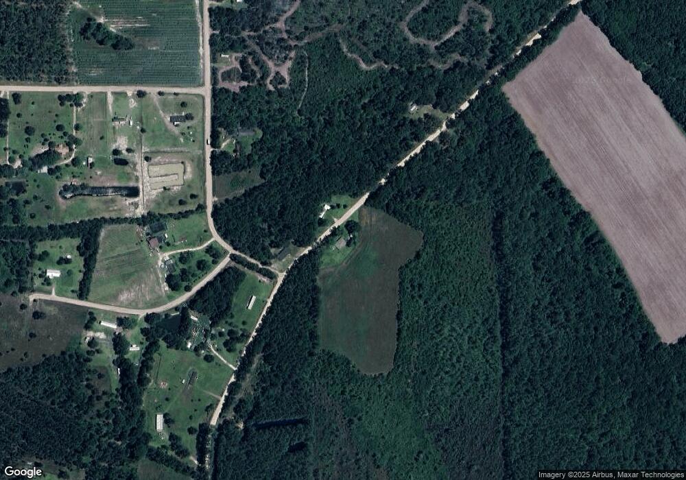
Map
Nearby Homes
- 00 Herrington Rd
- 0 Herrington Rd
- 60 Fred Hutchinson Rd
- 43 Graham Methodist Church Rd
- 0 Golden Isle W
- TBD Golden Isle W
- 212 Arthur McNeal Rd
- 0 Lake Mayers Rd Unit 23695
- 0 Lake Mayers Rd Unit 10628654
- 4038 Lake Mayers Rd
- 469 Dyal Rd
- -- Hammond Powell Rd
- 0 Wragler Ln Unit 10542405
- 53 Mockingbird Ln
- 2612 Buck Head Rd
- 000 Old Graham Rd
- 00 Old Graham Rd
- 0 Old Graham Rd Unit 10531283
- 58 Currie St
- 0 Elizabeth Church Rd Unit 10583146