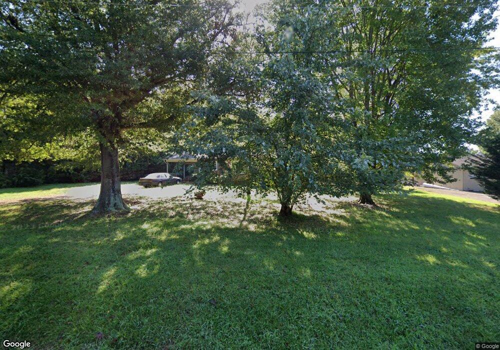
117 Fox Rd SE Conover, NC 28613
Estimated Value: $199,773 - $254,000
2
Beds
1
Bath
1,151
Sq Ft
$196/Sq Ft
Est. Value
About This Home
This home is located at 117 Fox Rd SE, Conover, NC 28613 and is currently estimated at $225,193, approximately $195 per square foot. 117 Fox Rd SE is a home located in Catawba County with nearby schools including North Newton Elementary School, Newton-Conover Middle School, and Newton-Conover High School.
Ownership History
Date
Name
Owned For
Owner Type
Purchase Details
Closed on
Oct 17, 2022
Sold by
Wingate Beverly
Bought by
Nc Asset Management Group Llc
Current Estimated Value
Purchase Details
Closed on
Jan 4, 2011
Sold by
Mccombs Hazel Lora
Bought by
Mccombs Hazel Lora
Purchase Details
Closed on
Sep 26, 2005
Sold by
Mccombs Hazel L
Bought by
Mccombs Timothy Arnold
Purchase Details
Closed on
Nov 1, 1983
Bought by
Boyd Ader M
Create a Home Valuation Report for This Property
The Home Valuation Report is an in-depth analysis detailing your home's value as well as a comparison with similar homes in the area
Home Values in the Area
Average Home Value in this Area
Purchase History
| Date | Buyer | Sale Price | Title Company |
|---|---|---|---|
| Nc Asset Management Group Llc | -- | -- | |
| Mccombs Hazel Lora | -- | None Available | |
| Mccombs Timothy Arnold | -- | None Available | |
| Boyd Ader M | $30,000 | -- |
Source: Public Records
Tax History Compared to Growth
Tax History
| Year | Tax Paid | Tax Assessment Tax Assessment Total Assessment is a certain percentage of the fair market value that is determined by local assessors to be the total taxable value of land and additions on the property. | Land | Improvement |
|---|---|---|---|---|
| 2025 | $1,312 | $165,400 | $14,000 | $151,400 |
| 2024 | $1,312 | $165,400 | $14,000 | $151,400 |
| 2023 | $1,312 | $165,400 | $14,000 | $151,400 |
| 2022 | $977 | $90,900 | $14,000 | $76,900 |
| 2021 | $977 | $90,900 | $14,000 | $76,900 |
| 2020 | $489 | $90,900 | $14,000 | $76,900 |
| 2019 | $489 | $45,450 | $0 | $0 |
| 2018 | $393 | $73,100 | $13,700 | $59,400 |
| 2017 | $382 | $0 | $0 | $0 |
| 2016 | $382 | $0 | $0 | $0 |
| 2015 | $365 | $73,070 | $13,700 | $59,370 |
| 2014 | $365 | $78,400 | $14,700 | $63,700 |
Source: Public Records
Map
Nearby Homes
- 1106 3rd Street Dr SE
- 111 6th Ave NE
- 505 2nd Street Place NE Unit U1
- 811 4th St NE
- 2901 N Shipp Ave
- 814 2nd Ave SW
- 1605 3rd St NE
- 2075 N Whisnant Ave
- 507 6th Ave NE
- 319 7th Street Place SW Unit B1
- 304 Parlier Ave NE
- 502 3rd Ave NE
- 510 4th Ave NE
- 221 5th St NE
- 112 W 23rd St
- 2661 N Ashe Ave
- 0000 Burris Rd
- 510 7th St NE
- 312 2nd Ave NE
- The Braselton II Plan at Rowe Crossing
- 115 Fox Rd SE
- 113 Fox Rd SE
- 119 1st Street Place SE
- 114 Fox Rd SE
- 121 Fox Rd SE
- 117 1st Street Place SE
- 111 Fox Rd SE
- 112 Fox Rd SE
- 1104 Daffodil Ct SE
- 109 1st Street Place SE
- 1106 Daffodil Ct SE
- 107 1st Street Place SE
- 1102 St Michaels Dr SE
- 121 13th Ave SE
- 122 1st Street Place SE
- 105 1st Street Place SE
- 105 1st Street Place SE Unit 4
- 1016 Davids St
- 1104 St Michaels Dr SE
- 120 1st Street Place SE
