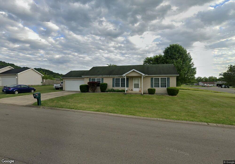
117 Frontier Dr Chillicothe, OH 45601
Estimated Value: $198,000 - $265,000
3
Beds
2
Baths
1,248
Sq Ft
$186/Sq Ft
Est. Value
About This Home
This home is located at 117 Frontier Dr, Chillicothe, OH 45601 and is currently estimated at $231,948, approximately $185 per square foot. 117 Frontier Dr is a home located in Ross County with nearby schools including Unioto Elementary School, Unioto Middle School, and Unioto High School.
Ownership History
Date
Name
Owned For
Owner Type
Purchase Details
Closed on
Jul 29, 2021
Sold by
Netter Karen A and Eblin Karen A
Bought by
Stacy Melissa and Stacy Timothy
Current Estimated Value
Home Financials for this Owner
Home Financials are based on the most recent Mortgage that was taken out on this home.
Original Mortgage
$131,313
Outstanding Balance
$119,582
Interest Rate
3%
Mortgage Type
New Conventional
Estimated Equity
$112,366
Create a Home Valuation Report for This Property
The Home Valuation Report is an in-depth analysis detailing your home's value as well as a comparison with similar homes in the area
Home Values in the Area
Average Home Value in this Area
Purchase History
| Date | Buyer | Sale Price | Title Company |
|---|---|---|---|
| Stacy Melissa | $130,000 | Cs Title Agency |
Source: Public Records
Mortgage History
| Date | Status | Borrower | Loan Amount |
|---|---|---|---|
| Open | Stacy Melissa | $131,313 |
Source: Public Records
Tax History
| Year | Tax Paid | Tax Assessment Tax Assessment Total Assessment is a certain percentage of the fair market value that is determined by local assessors to be the total taxable value of land and additions on the property. | Land | Improvement |
|---|---|---|---|---|
| 2024 | $2,348 | $66,620 | $4,170 | $62,450 |
| 2023 | $2,348 | $66,620 | $4,170 | $62,450 |
| 2022 | $2,399 | $66,620 | $4,170 | $62,450 |
| 2021 | $2,034 | $51,390 | $3,230 | $48,160 |
| 2020 | $2,048 | $51,390 | $3,230 | $48,160 |
| 2019 | $1,994 | $51,390 | $3,230 | $48,160 |
| 2018 | $1,512 | $39,120 | $8,720 | $30,400 |
| 2017 | $1,514 | $39,120 | $8,720 | $30,400 |
| 2016 | $1,475 | $39,120 | $8,720 | $30,400 |
| 2015 | $1,473 | $38,710 | $8,720 | $29,990 |
| 2014 | $1,437 | $38,710 | $8,720 | $29,990 |
| 2013 | $1,444 | $38,710 | $8,720 | $29,990 |
Source: Public Records
Map
Nearby Homes
- 70 Willow Creek Rd
- 190 Zickafoose Ln
- 232 Rolling Meadows Dr
- 0 Larrick Ln
- 313 Goodale Dr
- 81 Gettysburg Dr
- 18818 U S 50
- 637 Vernon Dr
- 35 Pickett Ct
- 18 Ridge Dr
- 320 Summerhill Dr
- 4 Ridge Dr
- 0 Mcintosh Ct
- 593 Franklin Cir
- 26 Tecumseh Dr
- 239 Almahurst Dr
- 182 Eastlook Dr
- 16673 State Route 28 Unit 9
- 1445 Lake Dr
- 53 Fruithill Dr
- 95 Frontier Dr
- lot Frontier Dr
- lot 29 Frontier Dr
- Lot 29 Sarah Ct
- Lot 15 Frontier Dr
- Lot 16 Frontier Dr
- Lot 32 Sarah Ct
- Lot 30 Sarah Ct
- Lot 2 Frontier Dr
- Lot 17 Frontier Dr
- Lot 1 Frontier Dr
- lot 12 Frontier Dr
- lot 32 Sarah Ct
- lot #30 Sarah Ct
- lot 29 Sarah Ct
- lot 11 Frontier Dr
- lot 9 Frontier Dr
- lot 10 Frontier Dr
- 0 Sarah Ct
- 0 Sarah Ct
Your Personal Tour Guide
Ask me questions while you tour the home.