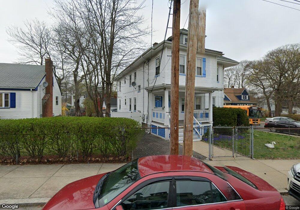
117 Greenfield Rd Mattapan, MA 02126
Southern Mattapan NeighborhoodEstimated Value: $705,661 - $898,000
4
Beds
2
Baths
3,170
Sq Ft
$257/Sq Ft
Est. Value
About This Home
This home is located at 117 Greenfield Rd, Mattapan, MA 02126 and is currently estimated at $815,415, approximately $257 per square foot. 117 Greenfield Rd is a home located in Suffolk County with nearby schools including KIPP Academy Boston Charter School, Boston Preparatory Charter Public School, and Berea Seventh-day Adventist Academy.
Ownership History
Date
Name
Owned For
Owner Type
Purchase Details
Closed on
Sep 13, 1991
Sold by
Herring William G
Bought by
Raphael Raphael Ritzner Ritzner and Raphael Marie H
Current Estimated Value
Home Financials for this Owner
Home Financials are based on the most recent Mortgage that was taken out on this home.
Original Mortgage
$137,750
Interest Rate
9.34%
Mortgage Type
Purchase Money Mortgage
Create a Home Valuation Report for This Property
The Home Valuation Report is an in-depth analysis detailing your home's value as well as a comparison with similar homes in the area
Home Values in the Area
Average Home Value in this Area
Purchase History
| Date | Buyer | Sale Price | Title Company |
|---|---|---|---|
| Raphael Raphael Ritzner Ritzner | $145,000 | -- |
Source: Public Records
Mortgage History
| Date | Status | Borrower | Loan Amount |
|---|---|---|---|
| Closed | Raphael Raphael Ritzner Ritzner | $137,750 |
Source: Public Records
Tax History Compared to Growth
Tax History
| Year | Tax Paid | Tax Assessment Tax Assessment Total Assessment is a certain percentage of the fair market value that is determined by local assessors to be the total taxable value of land and additions on the property. | Land | Improvement |
|---|---|---|---|---|
| 2025 | $6,902 | $596,000 | $193,300 | $402,700 |
| 2024 | $6,356 | $583,100 | $172,100 | $411,000 |
| 2023 | $5,909 | $550,200 | $162,400 | $387,800 |
| 2022 | $5,986 | $550,200 | $162,400 | $387,800 |
| 2021 | $5,336 | $500,100 | $147,600 | $352,500 |
| 2020 | $4,932 | $467,000 | $138,200 | $328,800 |
| 2019 | $4,559 | $432,500 | $111,100 | $321,400 |
| 2018 | $4,048 | $386,300 | $111,100 | $275,200 |
| 2017 | $3,933 | $371,400 | $111,100 | $260,300 |
| 2016 | $3,715 | $337,700 | $111,100 | $226,600 |
| 2015 | $3,622 | $299,100 | $117,100 | $182,000 |
| 2014 | $3,365 | $267,500 | $117,100 | $150,400 |
Source: Public Records
Map
Nearby Homes
- 839-843 Cummins Hwy
- 770 Cummins Hwy Unit 1
- 770 Cummins Hwy Unit 22
- 34 Ridlon Rd
- 90 Hollingsworth St
- 10 Brockton St
- 231 Itasca St
- 23 Caton St
- 48-50 Rockdale St
- 25 Alpine St Unit 7
- 95 Woodhaven St
- 7 Winborough St
- 645 River St
- 265 Hebron St
- 179 Hebron St
- 0 Tina Ave
- 72 Livermore St
- 20 Massasoit St
- 100 Itasca St
- 20 Monterey Ave
- 43 Harmon St
- 43 Harmon St Unit 2
- 121 Greenfield Rd
- 39 Harmon St
- 52 Harmon St
- 44 Harmon St
- 54 Rockingham Rd
- 105 Greenfield Rd
- 108 Greenfield Rd
- 104 Greenfield Rd
- 104 Greenfield Rd Unit 2
- 50 Rockingham Rd
- 112 Greenfield Rd
- 96 Greenfield Rd Unit 98
- 33 Harmon St Unit 35
- 33 Harmon St Unit 1
- 40 Harmon St
- 48 Rockingham Rd
- 92 Greenfield Rd
- 124 Greenfield Rd