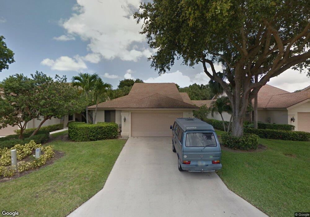
117 Harbourside Cir Jupiter, FL 33477
The Bluffs NeighborhoodEstimated Value: $795,000 - $1,105,000
3
Beds
2
Baths
1,889
Sq Ft
$496/Sq Ft
Est. Value
About This Home
This home is located at 117 Harbourside Cir, Jupiter, FL 33477 and is currently estimated at $936,969, approximately $496 per square foot. 117 Harbourside Cir is a home located in Palm Beach County with nearby schools including William T. Dwyer High School, Lighthouse Elementary School, and Beacon Cove Intermediate School.
Ownership History
Date
Name
Owned For
Owner Type
Purchase Details
Closed on
Oct 21, 2021
Sold by
Chumlongluk Panithi and Ricotta Constance J
Bought by
Chumlongluk Panithi and Ricotta Constance J
Current Estimated Value
Purchase Details
Closed on
Oct 10, 1997
Sold by
Sadow Jone F
Bought by
Chumlongluk Panithi and Ricotta Constance J
Home Financials for this Owner
Home Financials are based on the most recent Mortgage that was taken out on this home.
Original Mortgage
$147,150
Interest Rate
7.6%
Mortgage Type
New Conventional
Purchase Details
Closed on
Jul 9, 1996
Sold by
Sadow Samuel H and Sadow Jone F
Bought by
Sadow Jone F
Purchase Details
Closed on
Sep 30, 1994
Sold by
Whipland Stanley P and Whipland Zoya
Bought by
Sadow Samuel H and Sadow Jone F
Home Financials for this Owner
Home Financials are based on the most recent Mortgage that was taken out on this home.
Original Mortgage
$123,375
Interest Rate
8.68%
Create a Home Valuation Report for This Property
The Home Valuation Report is an in-depth analysis detailing your home's value as well as a comparison with similar homes in the area
Home Values in the Area
Average Home Value in this Area
Purchase History
| Date | Buyer | Sale Price | Title Company |
|---|---|---|---|
| Chumlongluk Panithi | -- | None Listed On Document | |
| Chumlongluk Panithi | $154,900 | -- | |
| Sadow Jone F | $100 | -- | |
| Sadow Samuel H | $164,500 | -- |
Source: Public Records
Mortgage History
| Date | Status | Borrower | Loan Amount |
|---|---|---|---|
| Previous Owner | Sadow Jone F | $147,150 | |
| Previous Owner | Sadow Samuel H | $123,375 |
Source: Public Records
Tax History
| Year | Tax Paid | Tax Assessment Tax Assessment Total Assessment is a certain percentage of the fair market value that is determined by local assessors to be the total taxable value of land and additions on the property. | Land | Improvement |
|---|---|---|---|---|
| 2025 | $3,610 | $248,524 | -- | -- |
| 2024 | $3,610 | $241,520 | -- | -- |
| 2023 | $3,549 | $234,485 | $0 | $0 |
| 2022 | $3,535 | $227,655 | $0 | $0 |
| 2021 | $3,504 | $221,175 | $0 | $0 |
| 2020 | $3,496 | $218,121 | $0 | $0 |
| 2019 | $3,450 | $213,217 | $0 | $0 |
| 2018 | $3,274 | $209,241 | $0 | $0 |
| 2017 | $3,260 | $204,937 | $0 | $0 |
| 2016 | $3,261 | $200,722 | $0 | $0 |
| 2015 | $3,341 | $199,327 | $0 | $0 |
| 2014 | $3,385 | $197,745 | $0 | $0 |
Source: Public Records
Map
Nearby Homes
- 125 Harbourside Cir
- 1601 Marina Isle Way Unit 1010
- 1601 Marina Isle Way Unit 4020
- 1601 Marina Isle Way Unit 1060
- 1601 Marina Isle Way Unit 5050
- 150 Beach Summit Ct
- 105 Ocean Pines Terrace
- 1701 Marina Isle Way Unit 3010
- 1701 Marina Isle Way Unit 2020
- 232 River Park Dr
- 1401 Tidal Pointe Blvd Unit 1020
- 501 Seafarer Cir Unit 2040
- 2601 Marina Isle Way Unit 2020
- 1801 Marina Isle Way Unit 5020
- 126 Cape Pointe Cir
- 125 Cape Pointe Cir
- 601 Seafarer Cir Unit 5040
- 601 Seafarer Cir Unit 1010
- 601 Seafarer Cir Unit 1040
- 601 Seafarer Cir Unit 2010
- 115 Harbourside Cir
- 119 Harbourside Cir
- 121 Harbourside Cir
- 113 Harbourside Cir
- 101 Inner Harbour Way
- 123 Harbourside Cir
- 111 Harbourside Cir
- 194 Harbourside Cir
- 158 Sandbar Dr
- 103 Inner Harbour Way
- 109 Harbourside Cir
- 192 Harbourside Cir
- 156 Sandbar Dr
- 105 Inner Harbour Way
- 127 Harbourside Cir
- 107 Harbourside Cir
- 190 Harbourside Cir
- 102 Inner Harbour Way
- 195 Harbourside Cir
- 154 Sandbar Dr
Your Personal Tour Guide
Ask me questions while you tour the home.