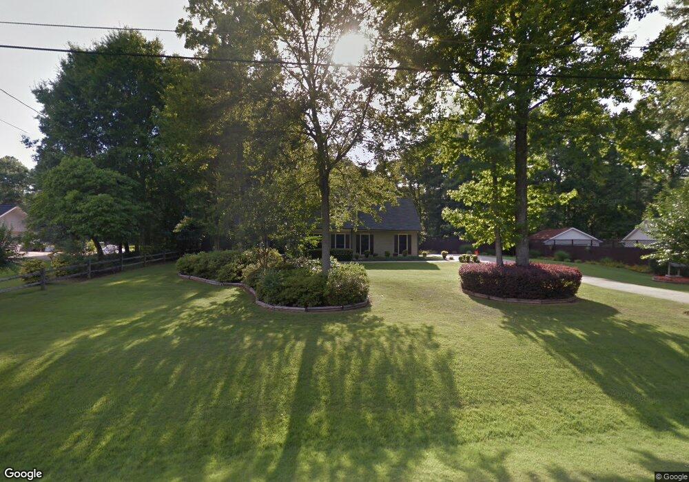
117 Hawthorne Cir Lagrange, GA 30240
Estimated Value: $289,000 - $328,000
3
Beds
2
Baths
1,664
Sq Ft
$182/Sq Ft
Est. Value
About This Home
This home is located at 117 Hawthorne Cir, Lagrange, GA 30240 and is currently estimated at $302,273, approximately $181 per square foot. 117 Hawthorne Cir is a home located in Troup County with nearby schools including Long Cane Elementary School, Berta Weathersbee Elementary School, and Whitesville Road Elementary School.
Ownership History
Date
Name
Owned For
Owner Type
Purchase Details
Closed on
May 10, 2024
Sold by
Collins Megan Elizabeth
Bought by
Baker Kari and Hoskin Kenneth David
Current Estimated Value
Home Financials for this Owner
Home Financials are based on the most recent Mortgage that was taken out on this home.
Original Mortgage
$286,711
Outstanding Balance
$282,691
Interest Rate
6.88%
Mortgage Type
New Conventional
Estimated Equity
$19,582
Purchase Details
Closed on
Mar 22, 2023
Sold by
Swann Nicholas
Bought by
Swann Nicholas Justin and Collins Megan Elizabeth
Purchase Details
Closed on
Jun 30, 2016
Sold by
Swann Harold
Bought by
Swann Nicholas
Home Financials for this Owner
Home Financials are based on the most recent Mortgage that was taken out on this home.
Original Mortgage
$128,000
Interest Rate
3.66%
Mortgage Type
New Conventional
Purchase Details
Closed on
May 25, 2012
Sold by
Williams Robert L
Bought by
Swann Nic and Swann Harold
Home Financials for this Owner
Home Financials are based on the most recent Mortgage that was taken out on this home.
Original Mortgage
$131,572
Interest Rate
3.88%
Mortgage Type
FHA
Purchase Details
Closed on
Nov 8, 2005
Sold by
Harmon Timothy H
Bought by
Williams Robert L and Williams Mildred A
Purchase Details
Closed on
Aug 9, 1999
Sold by
Daniel Michael W and Daniel Kathryn T
Bought by
Phinielia Timothy H and Phinielia Harmon
Purchase Details
Closed on
Jan 7, 1997
Sold by
Shaun F Plybon
Bought by
Daniel Michael W and Daniel Kathryn T
Purchase Details
Closed on
Jun 13, 1994
Sold by
Parker Billy C and Parker Barbara R
Bought by
Shaun F Plybon
Purchase Details
Closed on
Feb 1, 1993
Sold by
Sweeney Alfred P and Sweeney Deborah A
Bought by
Parker Billy C and Parker Barbara R
Purchase Details
Closed on
Oct 15, 1990
Sold by
Cherry Christopher B
Bought by
Sweeney Alfred P and Sweeney Deborah A
Purchase Details
Closed on
Oct 16, 1987
Sold by
Dan-Ric Inc
Bought by
Cherry Christopher B
Purchase Details
Closed on
Sep 1, 1986
Sold by
Dan-Ric Inc
Bought by
Dan-Ric Inc
Create a Home Valuation Report for This Property
The Home Valuation Report is an in-depth analysis detailing your home's value as well as a comparison with similar homes in the area
Home Values in the Area
Average Home Value in this Area
Purchase History
| Date | Buyer | Sale Price | Title Company |
|---|---|---|---|
| Baker Kari | $292,000 | -- | |
| Swann Nicholas Justin | -- | -- | |
| Swann Nicholas | -- | -- | |
| Swann Nic | $134,000 | -- | |
| Williams Robert L | $141,400 | -- | |
| Phinielia Timothy H | $99,000 | -- | |
| Daniel Michael W | $85,300 | -- | |
| Shaun F Plybon | $80,000 | -- | |
| Parker Billy C | $75,000 | -- | |
| Sweeney Alfred P | $75,000 | -- | |
| Cherry Christopher B | $74,800 | -- | |
| Dan-Ric Inc | $87,400 | -- |
Source: Public Records
Mortgage History
| Date | Status | Borrower | Loan Amount |
|---|---|---|---|
| Open | Baker Kari | $286,711 | |
| Previous Owner | Swann Nicholas | $128,000 | |
| Previous Owner | Swann Nic | $131,572 |
Source: Public Records
Tax History Compared to Growth
Tax History
| Year | Tax Paid | Tax Assessment Tax Assessment Total Assessment is a certain percentage of the fair market value that is determined by local assessors to be the total taxable value of land and additions on the property. | Land | Improvement |
|---|---|---|---|---|
| 2024 | $3,008 | $110,280 | $14,000 | $96,280 |
| 2023 | $2,081 | $76,320 | $10,000 | $66,320 |
| 2022 | $1,978 | $70,880 | $8,000 | $62,880 |
| 2021 | $1,607 | $53,280 | $6,000 | $47,280 |
| 2020 | $1,607 | $53,280 | $6,000 | $47,280 |
| 2019 | $1,573 | $52,160 | $6,000 | $46,160 |
| 2018 | $1,573 | $52,160 | $6,000 | $46,160 |
| 2017 | $1,573 | $52,160 | $6,000 | $46,160 |
Source: Public Records
Map
Nearby Homes
- 110 Hawthorne Cir
- 105 Hawthorne Cir
- 103 Hawthorne Cir
- 100 Huntcliff Ct
- 124 Foxdale Dr
- 190 Hill Rd
- 141 Plymouth Dr
- 102 Franklin Place
- 135 Planters Ridge Dr
- 509 Connie Dr
- 119 Plymouth Dr
- 808 S Fling Rd
- 37 Overbrook Dr
- 101 Ivy Springs Dr
- 0 Bradfield Dr Unit 10568803
- 0 Deming St Unit 10550189
- 474 Newton Rd
- 40 River Point Dr
- 22 Freeman Rd
- 61 Freeman Rd
- 115 Hawthorne Cir
- 119 Hawthorne Cir
- 108 Hawthorne Cir
- 113 Hawthorne Cir
- 121 Hawthorne Cir
- 106 Hawthorne Cir
- 123 Hawthorne Cir
- 111 Hawthorne Cir
- 104 Hawthorne Cir
- 125 Hawthorne Cir
- 112 Hawthorne Cir
- 109 Hawthorne Cir
- 127 Hawthorne Cir
- 128 Hawthorne Cir
- 110 Westlake Dr
- 130 Hawthorne Cir
- 107 Hawthorne Cir
- 114 Hawthorne Cir
- 129 Hawthorne Cir
- 126 Hawthorne Cir