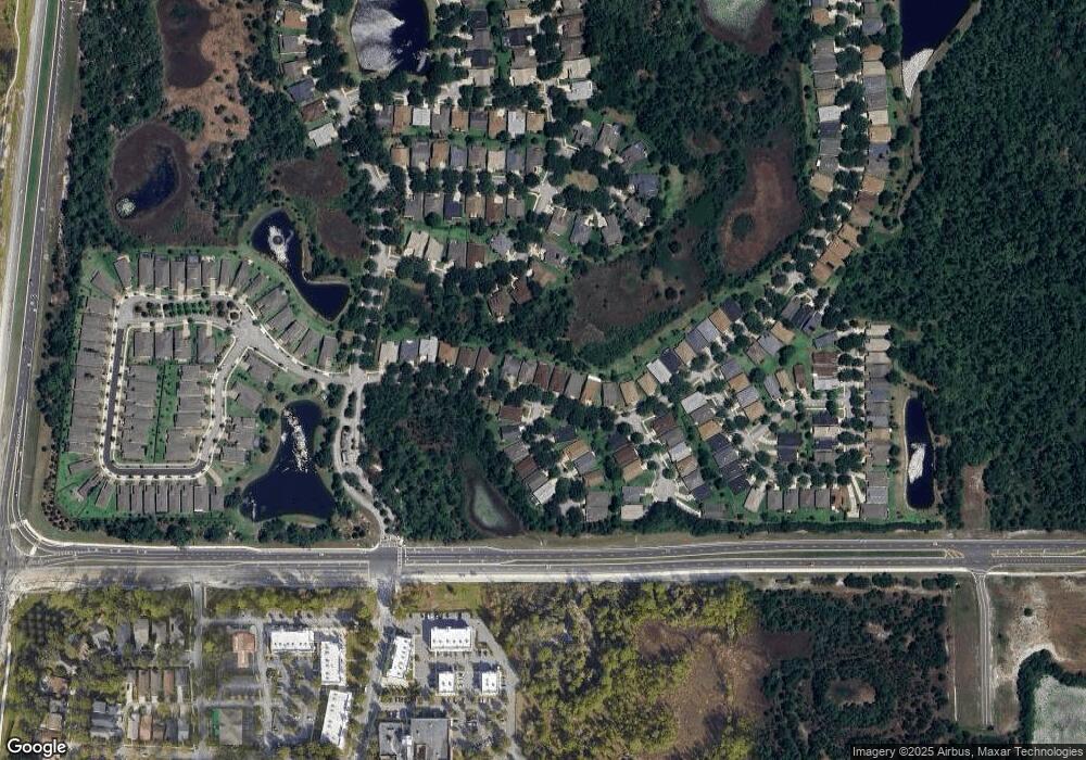
117 Heron Point Way Deland, FL 32724
Victoria Park NeighborhoodEstimated Value: $345,584 - $508,000
2
Beds
2
Baths
2,311
Sq Ft
$176/Sq Ft
Est. Value
About This Home
This home is located at 117 Heron Point Way, Deland, FL 32724 and is currently estimated at $406,396, approximately $175 per square foot. 117 Heron Point Way is a home located in Volusia County with nearby schools including Freedom Elementary School, Deland High School, and Deland Middle School.
Ownership History
Date
Name
Owned For
Owner Type
Purchase Details
Closed on
Apr 30, 2025
Sold by
Eade Rose
Bought by
Rose Eade Revocable Living Trust and Eade
Current Estimated Value
Purchase Details
Closed on
Nov 26, 2003
Sold by
St Joe Arvida Home Bldg L P
Bought by
Constantine Karen Phillips
Home Financials for this Owner
Home Financials are based on the most recent Mortgage that was taken out on this home.
Original Mortgage
$120,000
Interest Rate
5.98%
Create a Home Valuation Report for This Property
The Home Valuation Report is an in-depth analysis detailing your home's value as well as a comparison with similar homes in the area
Home Values in the Area
Average Home Value in this Area
Purchase History
| Date | Buyer | Sale Price | Title Company |
|---|---|---|---|
| Rose Eade Revocable Living Trust | $100 | None Listed On Document | |
| Rose Eade Revocable Living Trust | $100 | None Listed On Document | |
| Constantine Karen Phillips | $193,600 | -- |
Source: Public Records
Mortgage History
| Date | Status | Borrower | Loan Amount |
|---|---|---|---|
| Previous Owner | Constantine Karen Phillips | $120,000 |
Source: Public Records
Tax History Compared to Growth
Tax History
| Year | Tax Paid | Tax Assessment Tax Assessment Total Assessment is a certain percentage of the fair market value that is determined by local assessors to be the total taxable value of land and additions on the property. | Land | Improvement |
|---|---|---|---|---|
| 2025 | $3,280 | $236,049 | -- | -- |
| 2024 | $3,280 | $229,397 | -- | -- |
| 2023 | $3,280 | $222,716 | $0 | $0 |
| 2022 | $3,301 | $216,229 | $0 | $0 |
| 2021 | $3,420 | $209,931 | $0 | $0 |
| 2020 | $3,373 | $207,033 | $0 | $0 |
| 2019 | $3,431 | $202,378 | $0 | $0 |
| 2018 | $3,491 | $198,605 | $32,000 | $166,605 |
| 2017 | $4,398 | $188,595 | $32,000 | $156,595 |
| 2016 | $4,035 | $175,663 | $0 | $0 |
| 2015 | $3,984 | $169,102 | $0 | $0 |
| 2014 | $3,733 | $157,252 | $0 | $0 |
Source: Public Records
Map
Nearby Homes
- 115 Heron Point Way
- 100 Wethersfield Ct
- 109 Apremont Ct
- 107 Wethersfield Ct
- 309 Stonington Way
- 145 Old Moss Cir
- 516 Heron Point Way
- 161 Old Moss Cir
- 213 Old Moss Cir
- 203 W Tarrington Dr
- 600 Garden Club Dr
- 214 Woodhouse Ln
- 231 Wellisford Way
- 223 W Tarrington Dr
- 226 W Tarrington Dr
- 211 Foxglove Way
- 313 Ravenshill Way
- 214 Victoria Trails Blvd
- 1018 Heron Point Cir
- 114 Callaway Ct
- 201 Heron Point Way
- 113 Heron Point Way
- 205 Heron Point Way
- 100 Apremont Ct
- 111 Heron Point Way
- 101 Apremont Ct
- 102 Apremont Ct
- 207 Heron Point Way
- 108 Bellingrath Terrace
- 103 Apremont Ct
- 110 Bellingrath Terrace
- 209 Heron Point Way
- 106 Apremont Ct
- 105 Apremont Ct
- 112 Bellingrath Terrace
- 107 Heron Point Way
- 301 Heron Point Way
- 108 Apremont Ct
- 102 Wethersfield Ct
- 303 Heron Point Way
