117 Hubbard Ln Winthrop, ME 04364
Estimated Value: $562,000 - $1,114,000
--
Bed
--
Bath
--
Sq Ft
10.67
Acres
About This Home
This home is located at 117 Hubbard Ln, Winthrop, ME 04364 and is currently estimated at $852,344. 117 Hubbard Ln is a home with nearby schools including Winthrop Grade School, Winthrop Middle School, and Winthrop High School.
Ownership History
Date
Name
Owned For
Owner Type
Purchase Details
Closed on
Feb 24, 2025
Sold by
Siragusa Helen B Est and Engdahl
Bought by
Siragusa Annabessacook Ft and Engdahl
Current Estimated Value
Purchase Details
Closed on
Sep 27, 2021
Sold by
Winthrop Town Of
Bought by
Family Share T
Purchase Details
Closed on
Mar 3, 2008
Sold by
Siragusa James J Jr Est and Siragusa
Bought by
Family Share T and Siragusa
Create a Home Valuation Report for This Property
The Home Valuation Report is an in-depth analysis detailing your home's value as well as a comparison with similar homes in the area
Home Values in the Area
Average Home Value in this Area
Purchase History
| Date | Buyer | Sale Price | Title Company |
|---|---|---|---|
| Siragusa Annabessacook Ft | -- | None Available | |
| Siragusa Annabessacook Ft | -- | None Available | |
| Family Share T | -- | None Available | |
| Family Share T | -- | None Available | |
| Family Share T | -- | -- | |
| Family Share T | -- | -- |
Source: Public Records
Tax History Compared to Growth
Tax History
| Year | Tax Paid | Tax Assessment Tax Assessment Total Assessment is a certain percentage of the fair market value that is determined by local assessors to be the total taxable value of land and additions on the property. | Land | Improvement |
|---|---|---|---|---|
| 2024 | $9,834 | $425,700 | $174,800 | $250,900 |
| 2022 | $9,267 | $425,700 | $174,800 | $250,900 |
| 2021 | $8,744 | $425,500 | $174,600 | $250,900 |
| 2020 | $8,787 | $425,500 | $174,600 | $250,900 |
| 2019 | $8,616 | $425,500 | $174,600 | $250,900 |
| 2018 | $7,791 | $425,500 | $174,600 | $250,900 |
| 2017 | $7,289 | $425,500 | $174,600 | $250,900 |
| 2016 | $6,740 | $425,500 | $174,600 | $250,900 |
| 2015 | $6,502 | $425,500 | $174,600 | $250,900 |
| 2014 | $6,502 | $425,500 | $174,600 | $250,900 |
Source: Public Records
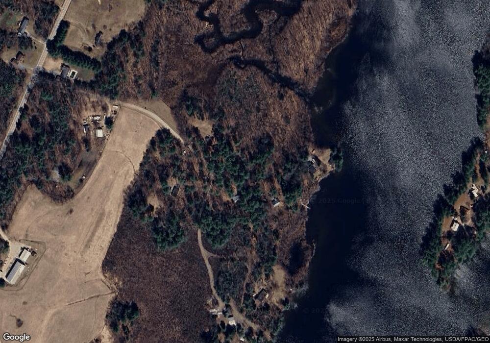
Map
Nearby Homes
- Lot 42B Fire Road A-3
- 251 Annabessacook Rd
- Lot 6 Holmes Brook Ln
- 172-B Annabessacook Rd
- 172 Annabessacook Rd
- 87 Annabessacook Rd
- 25 Hansons Wood Rd
- 57 Neal Ln
- 90 Route 133
- 22 Guerette Rd
- 11 Neal Ln
- 35002 Waugan Rd
- 1103 Route 135
- 83 Larry Dr
- 168 Main St
- 23 Green St
- 147 N Main St
- 61 Highland Terrace
- 643 Mount Pisgah Rd
- 206 Route 133
- 105 Hubbard Ln
- 0 Hubbard Ln
- 49 Hubbard Ln
- 68 Hubbard Ln
- 63 Hubbard Ln
- 15 Hubbard Ln
- 94 Hubbard Ln
- 248 Annabessacook Rd
- 81 Mallard Ln
- 260 Annabessacook Rd
- 79 Mallard Ln
- 272 Annabessacook Rd
- 101 Harold Howell Way
- 72 Mallard Ln
- 97 Harold Howell Way
- 93 Harold Howell Way
- 75 Mallard Ln
- 238 Annabessacook Rd
- 85 Harold Howell Way
- 102 Harold Howell Way