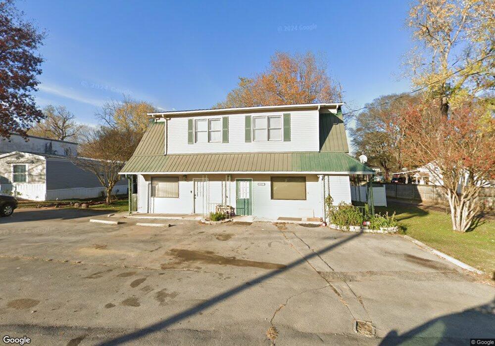
117 Hurricane Creek Rd Unit 115& 117 Gurley, AL 35748
Estimated Value: $196,887 - $284,000
--
Bed
5
Baths
3,382
Sq Ft
$68/Sq Ft
Est. Value
About This Home
This home is located at 117 Hurricane Creek Rd Unit 115& 117, Gurley, AL 35748 and is currently estimated at $228,722, approximately $67 per square foot. 117 Hurricane Creek Rd Unit 115& 117 is a home located in Madison County with nearby schools including Central School and Madison County High School.
Ownership History
Date
Name
Owned For
Owner Type
Purchase Details
Closed on
Dec 10, 2021
Sold by
Certain Sandra
Bought by
Schroff Scott and Schroff Britta Ann
Current Estimated Value
Home Financials for this Owner
Home Financials are based on the most recent Mortgage that was taken out on this home.
Original Mortgage
$212,500
Outstanding Balance
$56,125
Interest Rate
2.98%
Mortgage Type
Credit Line Revolving
Estimated Equity
$172,597
Create a Home Valuation Report for This Property
The Home Valuation Report is an in-depth analysis detailing your home's value as well as a comparison with similar homes in the area
Home Values in the Area
Average Home Value in this Area
Purchase History
| Date | Buyer | Sale Price | Title Company |
|---|---|---|---|
| Schroff Scott | -- | -- |
Source: Public Records
Mortgage History
| Date | Status | Borrower | Loan Amount |
|---|---|---|---|
| Open | Schroff Scott | $212,500 |
Source: Public Records
Tax History Compared to Growth
Tax History
| Year | Tax Paid | Tax Assessment Tax Assessment Total Assessment is a certain percentage of the fair market value that is determined by local assessors to be the total taxable value of land and additions on the property. | Land | Improvement |
|---|---|---|---|---|
| 2024 | $1,537 | $42,340 | $2,760 | $39,580 |
| 2023 | $1,537 | $41,280 | $2,760 | $38,520 |
| 2022 | $650 | $17,860 | $740 | $17,120 |
| 2021 | $1,164 | $32,020 | $1,460 | $30,560 |
| 2020 | $1,104 | $14,960 | $730 | $14,230 |
| 2019 | $1,049 | $14,430 | $730 | $13,700 |
| 2018 | $969 | $26,640 | $0 | $0 |
| 2017 | $376 | $13,320 | $0 | $0 |
| 2016 | $376 | $13,320 | $0 | $0 |
| 2015 | $376 | $13,320 | $0 | $0 |
| 2014 | $432 | $13,200 | $0 | $0 |
Source: Public Records
Map
Nearby Homes
- 216 Grasslands Rd
- 1519 Ryland Pike
- 221 Grasslands Rd
- 235 Grasslands Rd
- 211 Powell St
- 218 Powell St
- 102 Peyton Cir
- 3608 Maysville Rd NE
- 172 Day Dr
- 107 Nolan Dr
- 0 Gilliam Rd
- 309 Gilliam Rd
- 111 Cool Cir
- 483 Moontown Rd
- 477 Moontown Rd
- 506 Moontown Rd
- 362 Moontown Rd
- 350 Moontown Rd
- 123 Delta Pine Dr
- PPin#507136 Moontown Rd
- 117 Hurricane Creek Rd
- 125 Hurricane Creek Rd
- 3111 Maysville Rd NE
- 3119 Maysville Rd NE
- 121 Hurricane Creek Rd
- 3108 Maysville Rd NE
- 3123 Maysville Rd NE
- 143 Hurricane Creek Rd
- 3133 Maysville Rd NE
- 3122 Maysville Rd NE
- 138 Hurricane Creek Rd
- 1589 Ryland Pike
- 3130 Maysville Rd NE
- 3141 Maysville Rd NE
- 3140 Maysville Rd NE
- 1090 Brownsboro Rd
- 1097 Brownsboro Rd
- 1583 Ryland Pike
- 157 Hurricane Creek Rd
- 158 Hurricane Creek Rd