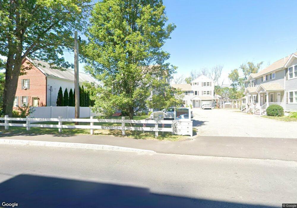
117 Ingell St Unit 17E Taunton, MA 02780
Estimated Value: $414,000 - $464,000
3
Beds
3
Baths
1,936
Sq Ft
$229/Sq Ft
Est. Value
About This Home
This home is located at 117 Ingell St Unit 17E, Taunton, MA 02780 and is currently estimated at $442,403, approximately $228 per square foot. 117 Ingell St Unit 17E is a home located in Bristol County with nearby schools including Mulcahey Elementary School, Taunton High School, and Our Lady of Lourdes School.
Ownership History
Date
Name
Owned For
Owner Type
Purchase Details
Closed on
Mar 16, 2021
Sold by
Delgado Helder
Bought by
Hersi Osman
Current Estimated Value
Purchase Details
Closed on
Feb 2, 2009
Sold by
Weir Village Land Llc
Bought by
Delgado Helder
Home Financials for this Owner
Home Financials are based on the most recent Mortgage that was taken out on this home.
Original Mortgage
$153,923
Interest Rate
5.28%
Mortgage Type
Purchase Money Mortgage
Purchase Details
Closed on
Dec 1, 2006
Sold by
Ingell Street Rt and Megna David J
Bought by
Weir Village Land Llc
Purchase Details
Closed on
Dec 1, 2005
Sold by
B&J Ft and Yuen Yiu Wah
Bought by
Ingell Rt and Megna David J
Purchase Details
Closed on
Jul 3, 2001
Sold by
County Nt and Sullivan Kevin J
Bought by
B&J Ft and Wong Jay
Purchase Details
Closed on
Apr 2, 1993
Sold by
Malacaria Richard V and Malacaria Richard
Bought by
County Nt and Sullivan Kevin J
Create a Home Valuation Report for This Property
The Home Valuation Report is an in-depth analysis detailing your home's value as well as a comparison with similar homes in the area
Home Values in the Area
Average Home Value in this Area
Purchase History
| Date | Buyer | Sale Price | Title Company |
|---|---|---|---|
| Hersi Osman | $270,000 | None Available | |
| Hersi Osman | $270,000 | None Available | |
| Delgado Helder | $199,900 | -- | |
| Delgado Helder | $199,900 | -- | |
| Weir Village Land Llc | $335,000 | -- | |
| Ingell Rt | $305,000 | -- | |
| B&J Ft | $200,000 | -- | |
| County Nt | $120,000 | -- |
Source: Public Records
Mortgage History
| Date | Status | Borrower | Loan Amount |
|---|---|---|---|
| Previous Owner | Delgado Helder | $153,923 | |
| Previous Owner | County Nt | $39,980 | |
| Previous Owner | County Nt | $6,311 |
Source: Public Records
Tax History Compared to Growth
Tax History
| Year | Tax Paid | Tax Assessment Tax Assessment Total Assessment is a certain percentage of the fair market value that is determined by local assessors to be the total taxable value of land and additions on the property. | Land | Improvement |
|---|---|---|---|---|
| 2025 | $4,097 | $374,500 | $0 | $374,500 |
| 2024 | $3,675 | $328,400 | $0 | $328,400 |
| 2023 | $3,532 | $293,100 | $0 | $293,100 |
| 2022 | $3,120 | $236,700 | $0 | $236,700 |
| 2021 | $2,986 | $210,300 | $0 | $210,300 |
| 2020 | $3,086 | $207,700 | $0 | $207,700 |
| 2019 | $3,111 | $197,400 | $0 | $197,400 |
| 2018 | $3,061 | $194,700 | $0 | $194,700 |
| 2017 | $2,894 | $184,200 | $0 | $184,200 |
| 2016 | $2,785 | $177,600 | $0 | $177,600 |
| 2015 | $2,702 | $180,000 | $0 | $180,000 |
| 2014 | $2,650 | $181,400 | $0 | $181,400 |
Source: Public Records
Map
Nearby Homes
- 4 Parkin Ct
- 24 1st St
- 252 Somerset Ave
- 6 Southeast St
- 450 Somerset Ave Unit 2-7
- 450 Somerset Ave Unit 6-6
- 1301 Carriage Ln Unit 1301
- 41 Hart Ave
- 90 E Water St
- 215 High St Unit 21
- 215 High St Unit 20
- 8 Herbert St
- 1 Fayal Ave
- 6 W Summer St
- 11 Talbot Ave
- 16 Clinton St
- 195 Pratt St Unit A
- 22 Everett St
- 29 Williams Ave
- 72 Barnum St
- 117 Ingell St Unit 17D
- 117 Ingell St Unit 17C
- 117 Ingell St Unit 17B
- 117 Ingell St Unit 17A
- 117 Ingell St Unit A
- 117 Ingell St Unit B
- 117 Ingell St Unit C
- 117 Ingell St Unit 2
- 117 Ingell St Unit E
- 117 Ingell St Unit 5
- 117 Ingell St Unit 3
- 117 Ingell St Unit 1
- 117 Ingell St Unit 4
- 117 Ingell St Unit D
- 115 Ingell St
- 121 Ingell St
- 111 Ingell St Unit 3
- 111 Ingell St Unit 2F
- 111 Ingell St Unit 2R
- 111 Ingell St