117 Ivy Ln Mantua, NJ 08051
Deptford Township NeighborhoodEstimated Value: $213,282 - $281,000
--
Bed
--
Bath
1,137
Sq Ft
$221/Sq Ft
Est. Value
About This Home
This home is located at 117 Ivy Ln, Mantua, NJ 08051 and is currently estimated at $251,821, approximately $221 per square foot. 117 Ivy Ln is a home located in Gloucester County with nearby schools including Deptford Township High School and St Margaret Regional School.
Ownership History
Date
Name
Owned For
Owner Type
Purchase Details
Closed on
Jul 15, 2025
Sold by
Lewandowski Lorraine F and Lewandowski Jeffrey
Bought by
Lewandowski Louis James
Current Estimated Value
Purchase Details
Closed on
Apr 1, 2021
Sold by
Lewandowski Lorraine F
Bought by
Lewandowski Jeffery and Lewandowski Brenda
Purchase Details
Closed on
Jul 22, 1994
Sold by
Pino Renee
Bought by
Lewandowski Louis J and Lewandowski Lorraine F
Create a Home Valuation Report for This Property
The Home Valuation Report is an in-depth analysis detailing your home's value as well as a comparison with similar homes in the area
Home Values in the Area
Average Home Value in this Area
Purchase History
| Date | Buyer | Sale Price | Title Company |
|---|---|---|---|
| Lewandowski Louis James | -- | None Listed On Document | |
| Lewandowski Jeffery | -- | None Available | |
| Lewandowski Jefferry | -- | None Listed On Document | |
| Lewandowski Louis J | $39,400 | Sentry Land Title Agency Inc |
Source: Public Records
Tax History Compared to Growth
Tax History
| Year | Tax Paid | Tax Assessment Tax Assessment Total Assessment is a certain percentage of the fair market value that is determined by local assessors to be the total taxable value of land and additions on the property. | Land | Improvement |
|---|---|---|---|---|
| 2025 | $4,492 | $125,300 | $44,300 | $81,000 |
| 2024 | $4,348 | $125,300 | $44,300 | $81,000 |
| 2023 | $4,348 | $125,300 | $44,300 | $81,000 |
| 2022 | $4,317 | $125,300 | $44,300 | $81,000 |
| 2021 | $1,706 | $123,000 | $44,300 | $78,700 |
| 2020 | $4,129 | $123,000 | $44,300 | $78,700 |
| 2019 | $4,050 | $123,000 | $44,300 | $78,700 |
| 2018 | $3,959 | $123,000 | $44,300 | $78,700 |
| 2017 | $3,854 | $123,000 | $44,300 | $78,700 |
| 2016 | $3,775 | $123,000 | $44,300 | $78,700 |
| 2015 | $3,658 | $123,000 | $44,300 | $78,700 |
| 2014 | $3,563 | $123,000 | $44,300 | $78,700 |
Source: Public Records
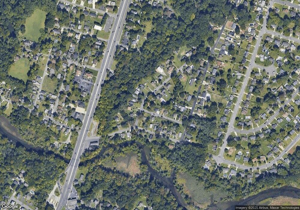
Map
Nearby Homes
- 125 Ivy Ln
- 111 Cove Rd
- 748 Dartmouth Dr
- 7 Manchester Ct
- 100 Buddy Powell Ln
- 213 Barclay Ct
- 114 Buddy Powell Ln
- 75 Hickory Ave
- 463 Durham Ct
- 807 Saint Regis Ct
- 411 Durham Ct Unit 411
- 711 Howard Ave
- 313 Ogden Station Rd
- 827 Saint Regis Ct
- 315 Ogden Station Rd
- 629 Vassar Rd
- 916 Georgetown Rd
- 1121 Tristram Cir Unit 1
- 505 W Mantua Ave
- 1134 Tristram Cir Unit 4