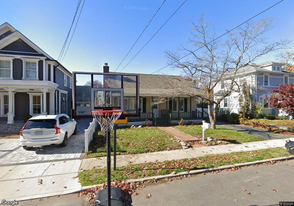
117 Jefferson St Merrick, NY 11566
Estimated Value: $717,026 - $781,000
--
Bed
1
Bath
1,155
Sq Ft
$648/Sq Ft
Est. Value
About This Home
This home is located at 117 Jefferson St, Merrick, NY 11566 and is currently estimated at $749,013, approximately $648 per square foot. 117 Jefferson St is a home located in Nassau County with nearby schools including Merrick Avenue Middle School, Sanford H Calhoun High School, and Grace Christian Academy.
Ownership History
Date
Name
Owned For
Owner Type
Purchase Details
Closed on
Feb 20, 2013
Sold by
Levy Dawn I and Yablonsky Dawn I
Bought by
Yablonsky Dawn I
Current Estimated Value
Purchase Details
Closed on
Jan 15, 2010
Sold by
Walsh John P and Walsh Michele M
Bought by
Levy Dawn I and Yablonsky Myra
Home Financials for this Owner
Home Financials are based on the most recent Mortgage that was taken out on this home.
Original Mortgage
$218,750
Interest Rate
5.5%
Mortgage Type
FHA
Purchase Details
Closed on
Nov 10, 1995
Sold by
Ambruso Lois
Bought by
Walsh John and Walsh Michele
Home Financials for this Owner
Home Financials are based on the most recent Mortgage that was taken out on this home.
Original Mortgage
$126,400
Interest Rate
7.47%
Purchase Details
Closed on
Sep 8, 1995
Sold by
Bockelman Kenneth
Bought by
Ambruso Lois
Create a Home Valuation Report for This Property
The Home Valuation Report is an in-depth analysis detailing your home's value as well as a comparison with similar homes in the area
Home Values in the Area
Average Home Value in this Area
Purchase History
| Date | Buyer | Sale Price | Title Company |
|---|---|---|---|
| Yablonsky Dawn I | -- | -- | |
| Levy Dawn I | $415,000 | -- | |
| Walsh John | $158,000 | -- | |
| Ambruso Lois | $160,000 | -- |
Source: Public Records
Mortgage History
| Date | Status | Borrower | Loan Amount |
|---|---|---|---|
| Previous Owner | Levy Dawn I | $218,750 | |
| Previous Owner | Walsh John | $126,400 |
Source: Public Records
Tax History Compared to Growth
Tax History
| Year | Tax Paid | Tax Assessment Tax Assessment Total Assessment is a certain percentage of the fair market value that is determined by local assessors to be the total taxable value of land and additions on the property. | Land | Improvement |
|---|---|---|---|---|
| 2025 | $13,750 | $489 | $202 | $287 |
| 2024 | $3,383 | $489 | $202 | $287 |
| 2023 | $11,835 | $489 | $202 | $287 |
| 2022 | $11,835 | $489 | $202 | $287 |
| 2021 | $15,627 | $470 | $194 | $276 |
| 2020 | $10,599 | $570 | $521 | $49 |
| 2019 | $9,359 | $611 | $426 | $185 |
| 2018 | $9,432 | $800 | $0 | $0 |
| 2017 | $7,779 | $800 | $558 | $242 |
| 2016 | $11,203 | $800 | $558 | $242 |
| 2015 | $3,175 | $800 | $558 | $242 |
| 2014 | $3,175 | $800 | $558 | $242 |
| 2013 | $3,004 | $800 | $558 | $242 |
Source: Public Records
Map
Nearby Homes
- 1931 Miller Place
- 96 Thelma Ave
- 179 Commonwealth Ave
- 1818 Gormley Ave
- 25 Babylon Turnpike
- 138 Hewlett Ave
- 2291 Girard Place
- 1922 Horatio Ave
- 1729 Gormley Ave
- 2991 Girard Place
- 1707 Carroll Ave
- 1938 Meadowbrook Rd
- 1690 Argyle Rd
- 131 Gregory Ave
- 10 Central Pkwy
- 5 Oak Brook Ln
- 1741 Pettit Ave
- 49 Princeton Place
- 42 E Webster St
- 2 Garfield St
- 2076 Jefferson St
- 121 Jefferson St
- 2082 Jefferson St
- 38 Sherman St
- 36 Sherman St
- 44 Sherman St
- 32 Sherman St
- 2059 Sherman St
- 103 Jefferson St
- 1905 Miller Place
- 2086 Jefferson St
- 2083 Sherman St
- 112 Jefferson St
- 99 Jefferson St
- 132 Jefferson St
- 86 Miller Place
- 106 Jefferson St
- 2089 Sherman St
- 2070 Sherman St
- 1918 Miller Place