117 Las Brisas Dr Decatur, TX 76234
Estimated Value: $758,321 - $886,000
--
Bed
--
Bath
2,787
Sq Ft
$291/Sq Ft
Est. Value
About This Home
This home is located at 117 Las Brisas Dr, Decatur, TX 76234 and is currently estimated at $811,580, approximately $291 per square foot. 117 Las Brisas Dr is a home with nearby schools including Decatur High School.
Ownership History
Date
Name
Owned For
Owner Type
Purchase Details
Closed on
Jun 26, 2019
Sold by
Bailee Developers Lp
Bought by
Knight David and Knight Bridget
Current Estimated Value
Home Financials for this Owner
Home Financials are based on the most recent Mortgage that was taken out on this home.
Original Mortgage
$446,368
Outstanding Balance
$392,494
Interest Rate
4%
Mortgage Type
New Conventional
Estimated Equity
$419,086
Purchase Details
Closed on
Jul 31, 2018
Sold by
Las Brisas Realty Llc
Bought by
Bailee Developers Lp
Home Financials for this Owner
Home Financials are based on the most recent Mortgage that was taken out on this home.
Original Mortgage
$204,000
Interest Rate
4.5%
Mortgage Type
Purchase Money Mortgage
Create a Home Valuation Report for This Property
The Home Valuation Report is an in-depth analysis detailing your home's value as well as a comparison with similar homes in the area
Home Values in the Area
Average Home Value in this Area
Purchase History
| Date | Buyer | Sale Price | Title Company |
|---|---|---|---|
| Knight David | -- | Guardian Title Co | |
| Bailee Developers Lp | -- | Guardian Title Co |
Source: Public Records
Mortgage History
| Date | Status | Borrower | Loan Amount |
|---|---|---|---|
| Open | Knight David | $446,368 | |
| Previous Owner | Bailee Developers Lp | $204,000 |
Source: Public Records
Tax History Compared to Growth
Tax History
| Year | Tax Paid | Tax Assessment Tax Assessment Total Assessment is a certain percentage of the fair market value that is determined by local assessors to be the total taxable value of land and additions on the property. | Land | Improvement |
|---|---|---|---|---|
| 2025 | $6,384 | $689,338 | -- | -- |
| 2024 | $6,384 | $626,671 | $0 | $0 |
| 2023 | $6,883 | $569,701 | $0 | $0 |
| 2022 | $7,947 | $517,910 | $0 | $0 |
| 2021 | $7,548 | $470,820 | $91,200 | $379,620 |
| 2020 | $7,338 | $454,840 | $91,200 | $363,640 |
| 2019 | $1,567 | $91,200 | $91,200 | $0 |
| 2018 | $286 | $16,090 | $16,090 | $0 |
Source: Public Records
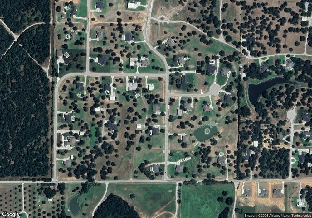
Map
Nearby Homes
- 141 Mission Oak Trail
- 0000 Hlavek Rd
- 1802 Hlavek Rd
- 112 La Paloma Way
- 159 Rio Rancho Dr
- 131 San Miguel Dr
- 0 Hlavek Rd
- 206 Rio Rancho Dr
- 189 Rio Rancho Dr
- 1117 Acorn Dr
- 1121 Acorn Dr
- 209 Rio Rancho Dr
- 286 W Ridge St
- 516 Wild Wood Dr
- 996 Hlavek Rd
- 258 W Ridge St
- 300 County Road 3141
- 380 Private Road 4219
- 361 Private Road 3248
- 1674 Cuba Rd
- 138 Mission Oak Trail
- 111 Las Brisas Dr
- 104 Estancia Ct
- 594 Hlavek Rd
- 594 Hlavek Rd
- 130 Las Brisas Dr
- 132 Mission Oak Trail
- 112 Las Brisas Dr
- 135 Las Brisas Dr
- 105 Las Brisas Dr
- 136 Las Brisas Dr
- 108 Estancia Ct
- 106 Las Brisas Dr
- 106 Rio Rancho Dr
- 142 Las Brisas Dr
- 109 Estancia Ct
- 120 Mission Oak Trail
- 126 Mission Oak Trail
- 143 Las Brisas Dr
- 117 Estancia Ct