117 Laurel Dr Coatesville, PA 19320
Estimated Value: $567,000 - $759,000
4
Beds
4
Baths
3,186
Sq Ft
$199/Sq Ft
Est. Value
About This Home
This home is located at 117 Laurel Dr, Coatesville, PA 19320 and is currently estimated at $633,240, approximately $198 per square foot. 117 Laurel Dr is a home located in Chester County with nearby schools including Kings Highway Elementary School, Coatesville Intermediate High School, and Coatesville Area Senior High School.
Ownership History
Date
Name
Owned For
Owner Type
Purchase Details
Closed on
Aug 25, 2003
Sold by
Humphrey Barbara F
Bought by
Cb2 Development Co
Current Estimated Value
Home Financials for this Owner
Home Financials are based on the most recent Mortgage that was taken out on this home.
Original Mortgage
$220,000
Interest Rate
6.22%
Mortgage Type
Purchase Money Mortgage
Purchase Details
Closed on
Oct 31, 1996
Sold by
Crane Christian E and Crane Elizabeth R
Bought by
Humphrey Barbara F
Create a Home Valuation Report for This Property
The Home Valuation Report is an in-depth analysis detailing your home's value as well as a comparison with similar homes in the area
Home Values in the Area
Average Home Value in this Area
Purchase History
| Date | Buyer | Sale Price | Title Company |
|---|---|---|---|
| Cb2 Development Co | $69,000 | -- | |
| Humphrey Barbara F | $60,000 | -- |
Source: Public Records
Mortgage History
| Date | Status | Borrower | Loan Amount |
|---|---|---|---|
| Previous Owner | Cb2 Development Co | $220,000 |
Source: Public Records
Tax History Compared to Growth
Tax History
| Year | Tax Paid | Tax Assessment Tax Assessment Total Assessment is a certain percentage of the fair market value that is determined by local assessors to be the total taxable value of land and additions on the property. | Land | Improvement |
|---|---|---|---|---|
| 2025 | $9,669 | $195,840 | $37,690 | $158,150 |
| 2024 | $9,669 | $195,840 | $37,690 | $158,150 |
| 2023 | $9,306 | $195,840 | $37,690 | $158,150 |
| 2022 | $8,860 | $195,840 | $37,690 | $158,150 |
| 2021 | $8,715 | $195,840 | $37,690 | $158,150 |
| 2020 | $8,533 | $195,840 | $37,690 | $158,150 |
| 2019 | $8,249 | $195,840 | $37,690 | $158,150 |
| 2018 | $7,889 | $195,840 | $37,690 | $158,150 |
| 2017 | $7,604 | $195,840 | $37,690 | $158,150 |
| 2016 | $8,092 | $195,840 | $37,690 | $158,150 |
| 2015 | $8,092 | $249,300 | $37,690 | $211,610 |
| 2014 | $8,092 | $249,300 | $37,690 | $211,610 |
Source: Public Records
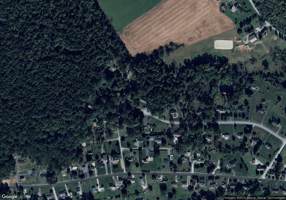
Map
Nearby Homes
- 435 W Kings Hwy
- 143 Penn Dr
- 122 Penn Dr
- 145 Penn Dr
- 506 Thomas Cir
- 43 Kimberly Cir
- 221 Creamery Rd
- 155 Freedom Valley Cir
- 176 Pratts Dam Rd
- 119 Pratts Dam Rd
- 55 Walden Way
- 717 Wagontown Rd
- 721 Wagontown Rd
- 801, 802 & 819 Cedar Knoll Rd
- 205 Overlook Dr
- 775 Wagontown Rd
- 841 Franklin St
- 101 W Kings Hwy
- 128 Union Rd
- 1101 S Manor Rd